


Secondary sourceDocument30 December 1865
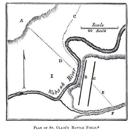
Plan of St Clair's Battle Field
John W. Barber and Henry Howe · 30 December 1865
An 1865 engraved plan of the battlefield where St. Clair's army was defeated in 1791.
Maps the battlefield of St. Clair's Defeat, the event that defined his military legacy.
About this source
What it is
This engraved plan, made by John W. Barber and Henry Howe in 1865, maps the battlefield where St. Clair's forces were defeated. It shows the Wabash River, lettered reference points, a north arrow, and a scale bar.
Why it matters
Created decades after the battle, this plan reflects how historians in the 1800s studied and explained St. Clair's defeat to readers. Barber and Howe were historians documenting American sites and events, and their inclusion of this battlefield shows its lasting significance in national memory.
Look closer
- Why might historians writing in 1865 have wanted to include a detailed plan of this battlefield?
- What can you learn about the battle from the layout shown, and what is left unclear?
- How might a plan made so long after the event differ from one made at the time?
This document is part of the curated material that grounds the AI version of Arthur St. Clair on Humy.ai — when students ask about related events, the AI can quote it and cite it.
More Arthur St. Clair sources
Browse all 68 →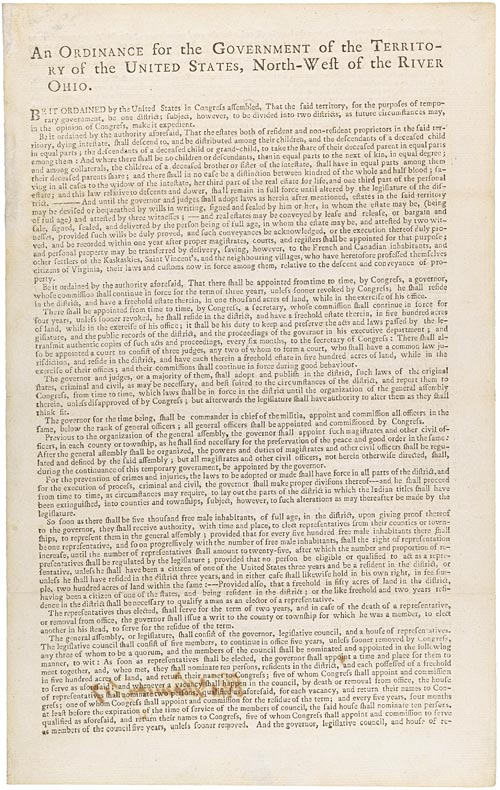 Document
Primary source
Northwest Ordinance
Confederation Congress · 13 July 1787
 Document
Primary source
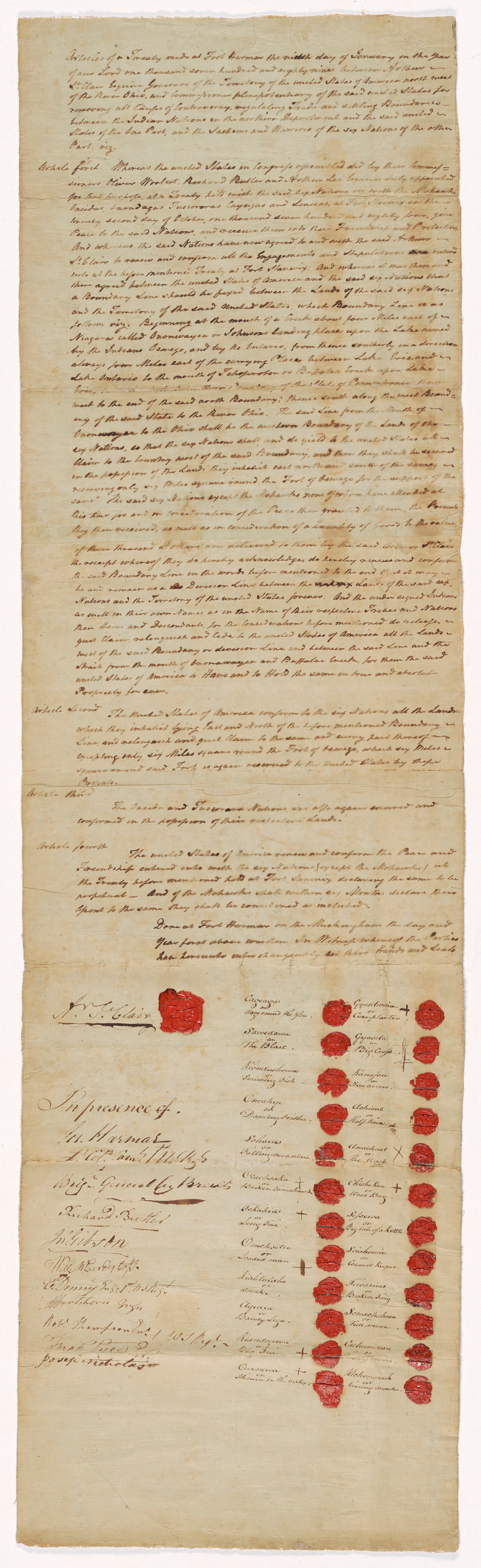
Treaty of Fort Harmar
9 January 1789
 Painting
Primary source
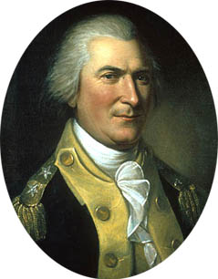
Portrait of Arthur St. Clair
Charles Willson Peale · 1782
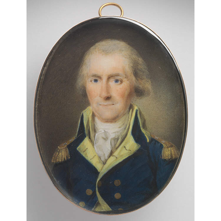 Painting
Primary source
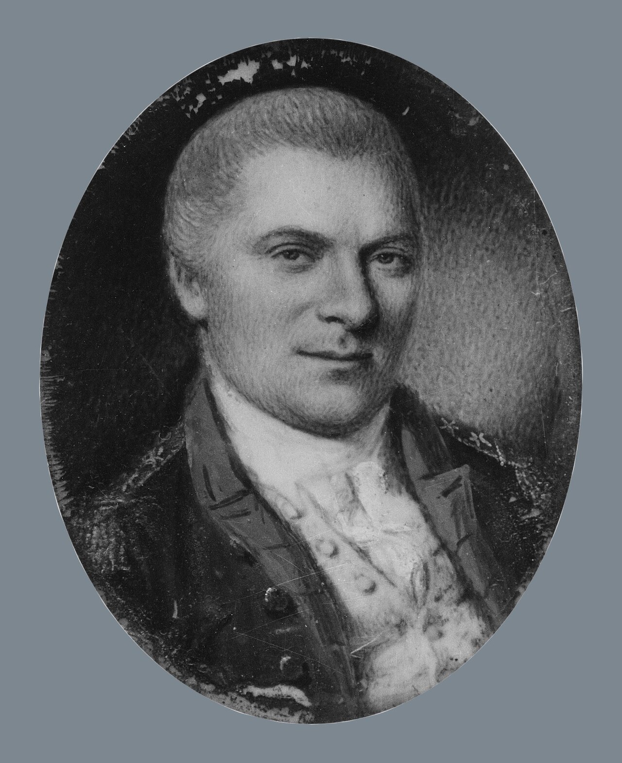
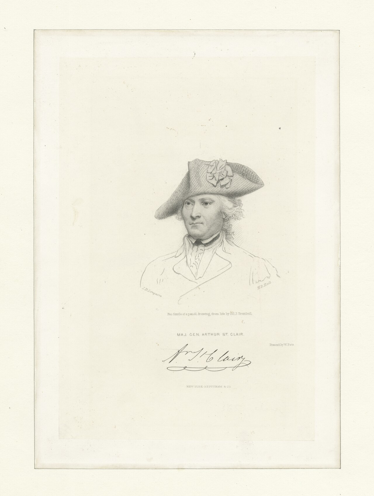
Arthur St. Clair
Henri Elouis · 1795

Free account
Read every Arthur St. Clair source
Sign up free →
Ready when you are
Start chatting with Arthur St. Clair now.
20 messages free · No credit card · Available in 50+ languages.