


Secondary sourceDocument1877
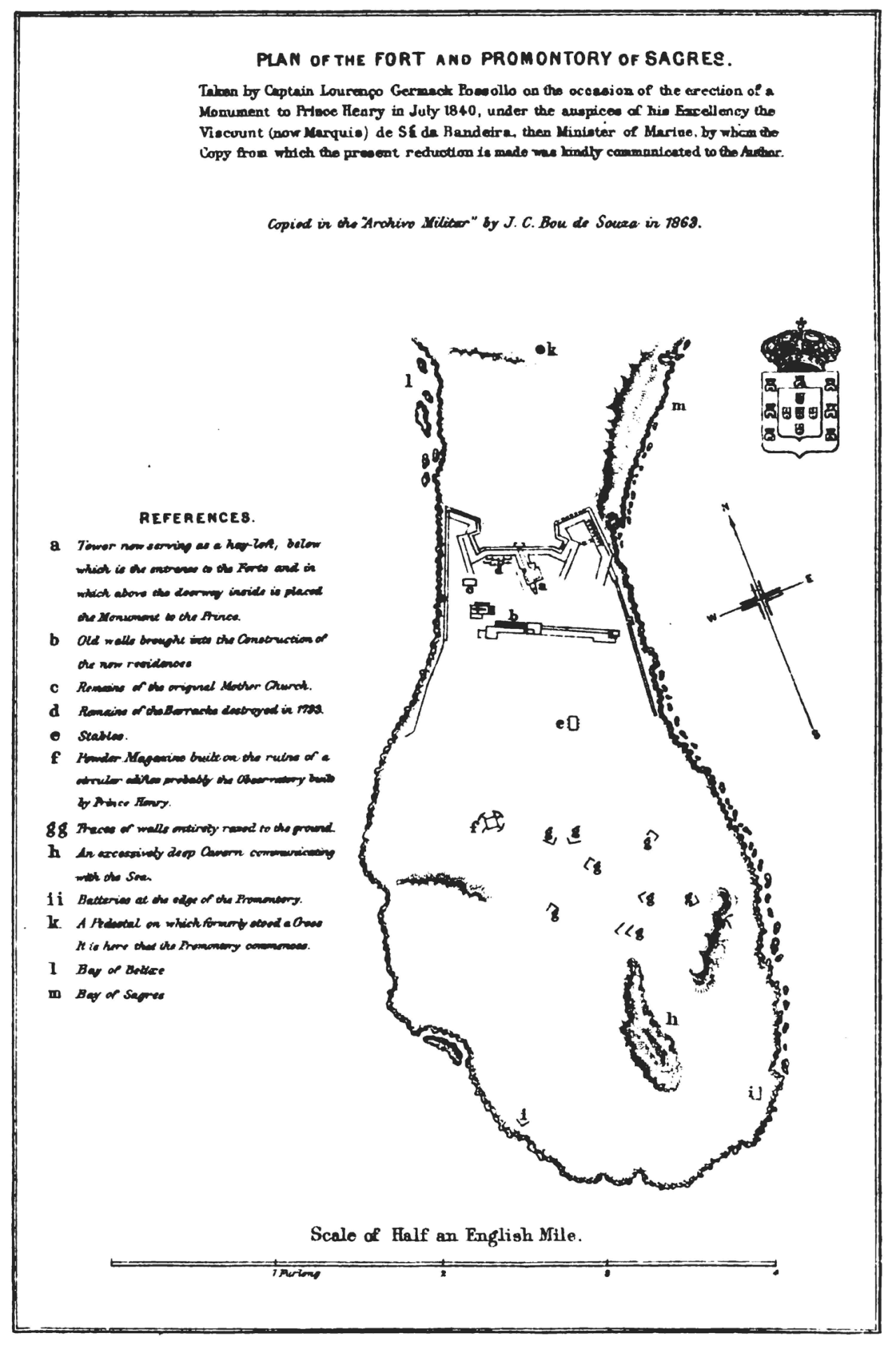
Plan of the Fort and Promontory of Sagres
Richard Henry Major · 1877
A 19th-century engraved plan of the fortress and headland of Sagres, a site linked to Henry the Navigator's maritime work.
This later map documents Sagres, the site traditionally linked to Henry's maritime projects.
About this source
What it is
This is an engraved map titled Plan of the fort and promontory of Sagres, drawn by Richard Henry Major and published in 1877 in his book on Henry the Navigator's discoveries. It shows the fort walls, the promontory outline, a reference key, a compass rose and a scale, along with the bays of Sagres and Belixe.
Why it matters
Sagres is traditionally associated with Prince Henry the Navigator's efforts to promote Portuguese exploration. This map was made centuries after Henry's lifetime, as part of a 19th-century historian's attempt to document and interpret the geography connected to his legacy.
Look closer
- Why might a historian in 1877 include a detailed map like this in a book about a 15th-century prince?
- What features of the fort and coastline does the map choose to highlight?
- What might this plan NOT tell us about how the site actually looked in Henry's own time?
This document is part of the curated material that grounds the AI version of Prince Henry the Navigator on Humy.ai — when students ask about related events, the AI can quote it and cite it.
More Prince Henry the Navigator sources
Meet the AI Prince Henry the Navigator →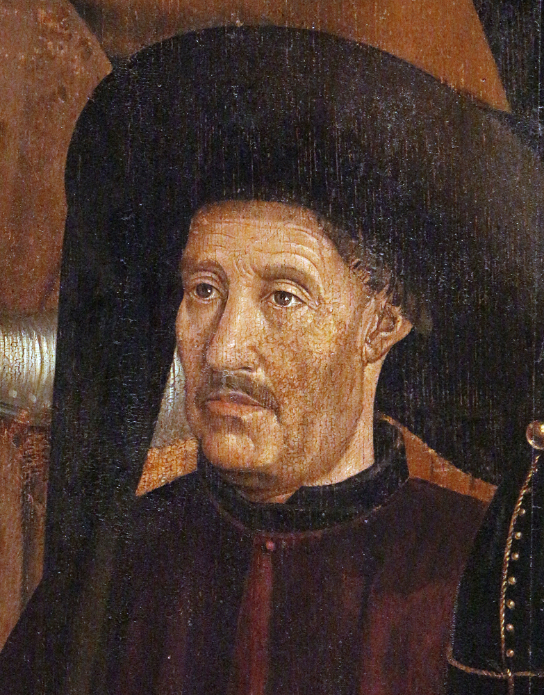 Painting
Secondary source
Panel of the Prince (Detail)
Nuno Gonçalves · c. 1470
 Artifact
Secondary source
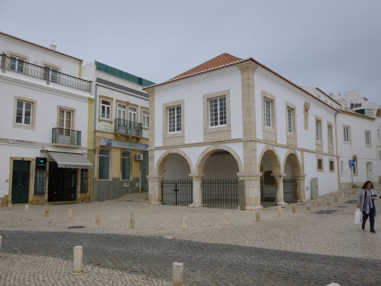
Mercado de Escravos
Built 1691; site of 1444 slave sale
 Book
Secondary source
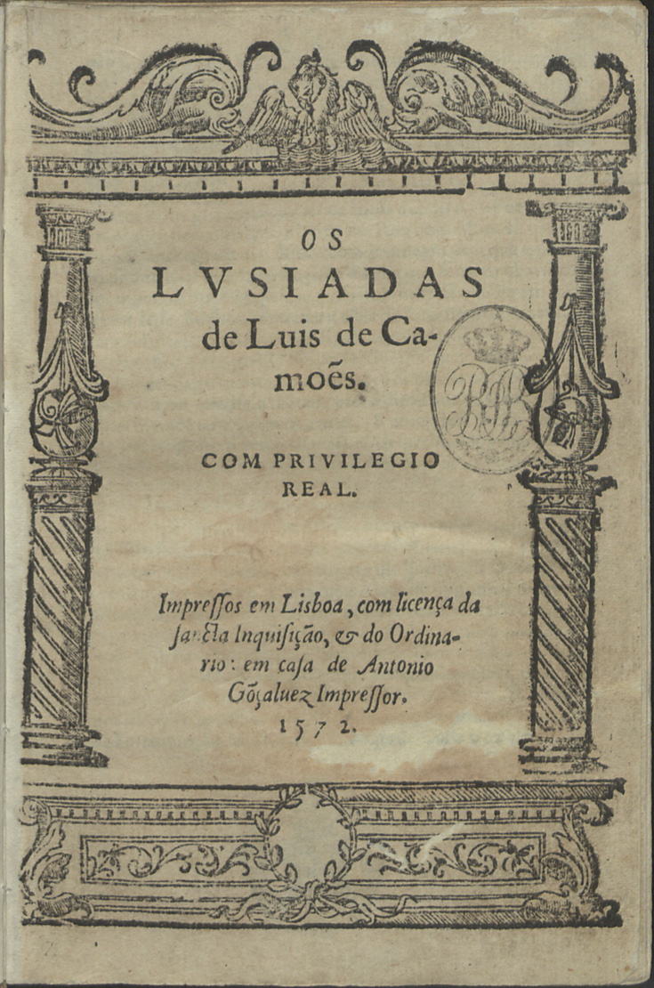
Os Lusíadas
Luís de Camões · 1572
 Painting
Secondary source
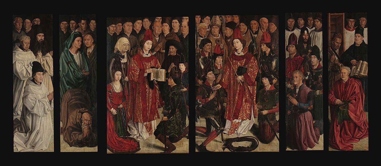
Saint Vincent Panels
Nuno Gonçalves · c. 1450-1480
 Sculpture
Secondary source
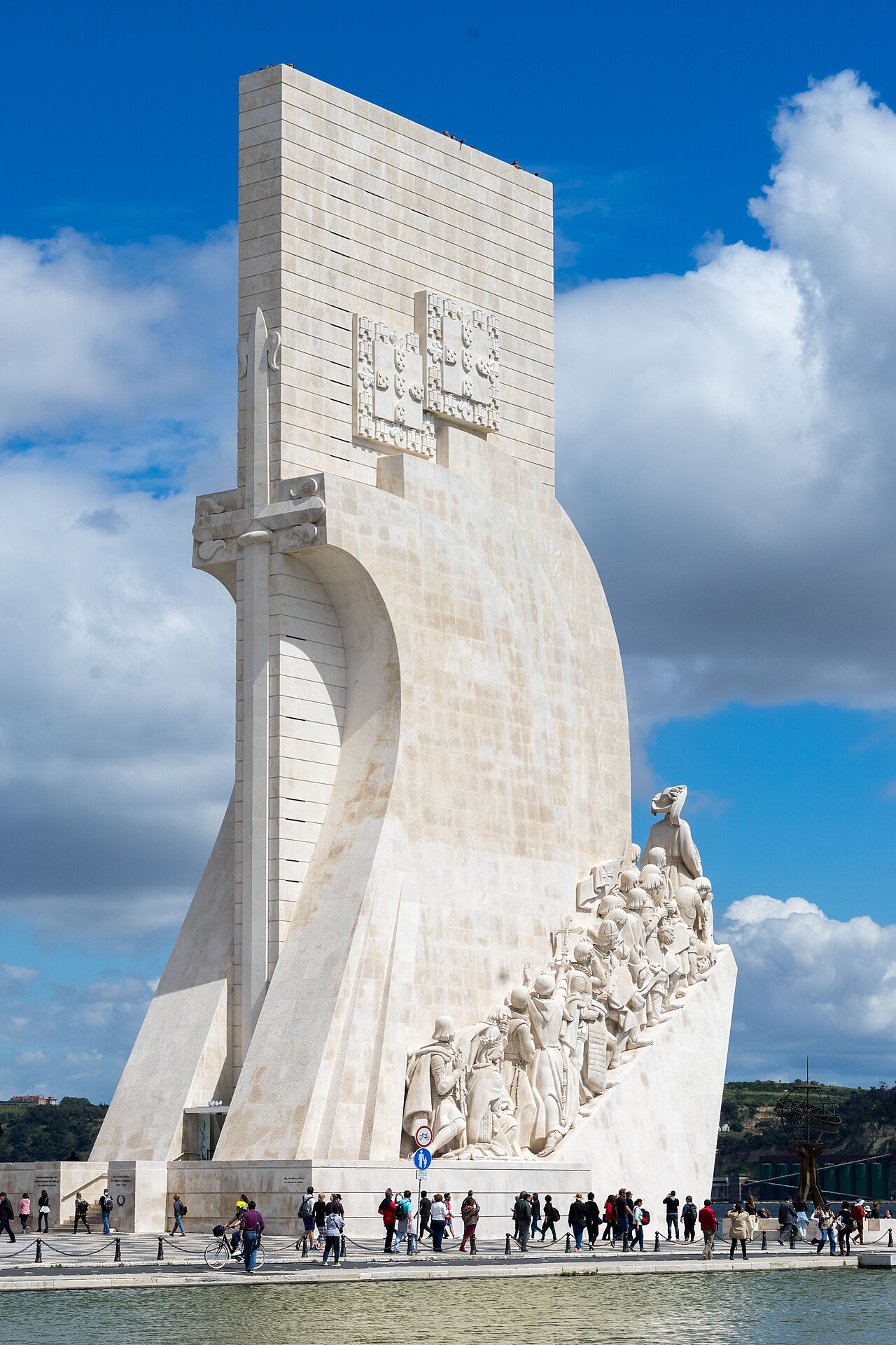
Padrão dos Descobrimentos
Leopoldo de Almeida · 1960 (inaugurated 9 August 1960)
Ready when you are
Start chatting with Prince Henry the Navigator now.
20 messages free · No credit card · Available in 50+ languages.