


Primary sourceDocument1756
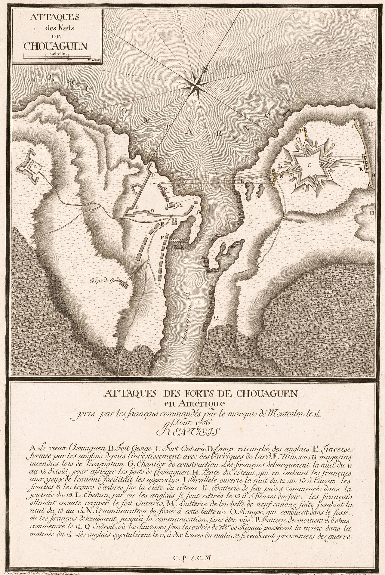
Plan of the Forts Taken by Montcalm, Oswego, 1756
Therbu and Cöntgen Georg Joseph · 1756
A French engraved plan of the British forts at Oswego, captured in August 1756 during the war in which Gist served.
Shows the fortifications and battle of the 1756 war Gist served in, though Gist himself does not appear.
About this source
What it is
This is an engraved French military map from 1756 showing the British fortifications at the mouth of the Oswego River, including forts, trenches, batteries and troop positions. It was made by Therbu and Cöntgen Georg Joseph and later appeared in a French atlas of the Seven Years' War published in Mainz.
Why it matters
The map documents the French capture of Fort Oswego in August 1756, a major early victory for France in the war fought across North America. It does not show Christopher Gist himself, but it depicts the same conflict in which he was active as an explorer and agent for British interests.
Look closer
- Why would the French make such a detailed map of their own victory?
- What does the labeled key tell us about how military actions were recorded?
- What is missing from a map like this — such as the experiences of ordinary soldiers or civilians?
This document is part of the curated material that grounds the AI version of Christopher Gist on Humy.ai — when students ask about related events, the AI can quote it and cite it.
More Christopher Gist sources
Browse all 43 →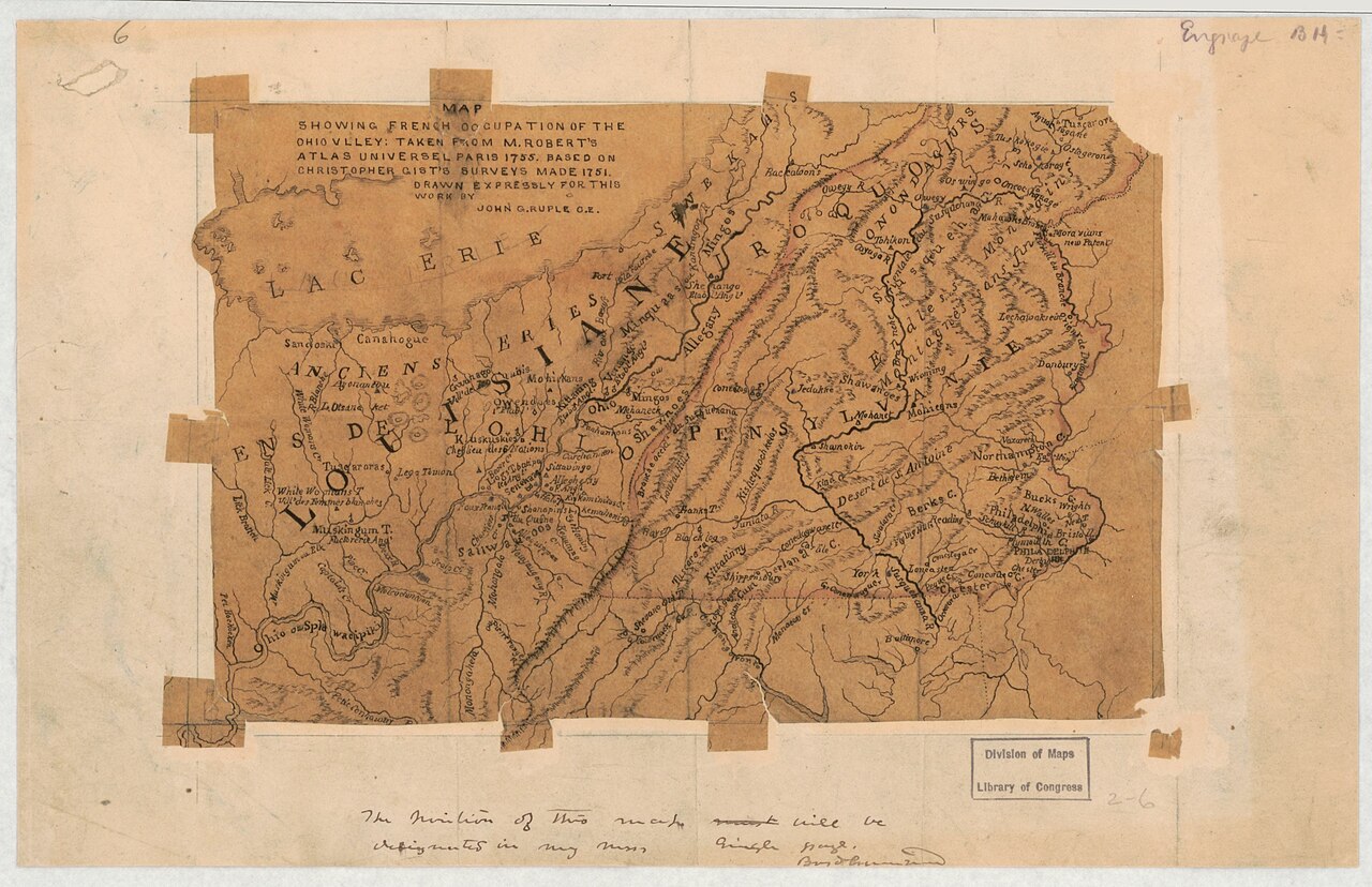 Document
Secondary source
Map Showing French Occupation of the Ohio Valley
John G. Ruple · 1755 (based on 1751 surveys)
Primary source
Journal of Captain William Trent from Logstown to Pickawillany, A.D. 1752
William Trent · 1752 (published 1871)
 Document
Primary source
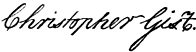
Signature of Christopher Gist
Christopher Gist
 Document
Primary source
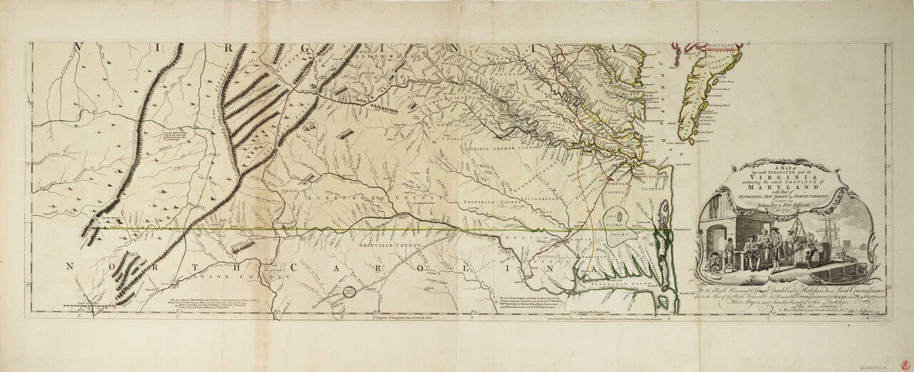
Fry-Jefferson Map of Virginia
Joshua Fry and Peter Jefferson · 1751 (revised 1755)
Free account
Read every Christopher Gist source
Sign up free →
Ready when you are
Start chatting with Christopher Gist now.
20 messages free · No credit card · Available in 50+ languages.