


Secondary sourceDocument16 March 1816
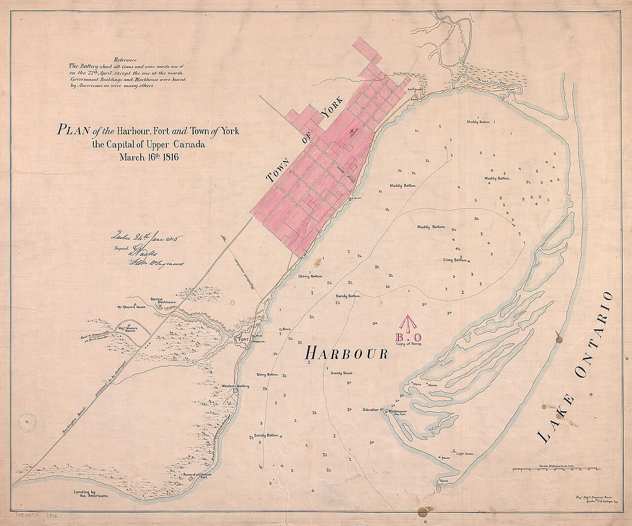
Plan of the Harbour, Fort and Town of York, 1816
Gustavus Nicolls · 16 March 1816
An 1816 military plan of York, Upper Canada, drawn after the War of 1812, showing the site where Zebulon Pike died in battle.
Depicts York and its fort, marking the American landing site from the battle where Pike was killed.
About this source
What it is
This hand-drawn, colored plan was made by Gustavus Nicolls of the Royal Engineers in 1816 and published in Quebec. It shows the harbour, fort, and town of York, with the town grid shaded pink, harbour soundings marked, and buildings including government houses labeled.
Why it matters
Made just a few years after the Battle of York, this plan reflects how military engineers studied the town's layout to understand its defenses. The record notes that the distance between the town and the fort made it hard to coordinate defense during the 1813 battle, in which American officer Zebulon Pike died. The map also marks the landing site of the American troops.
Look closer
- Why might military engineers draw a detailed plan of a town after a battle had already happened?
- What does the marking of the American landing site tell us about the plan's purpose?
- What is missing from a plan like this that eyewitness accounts might add?
This document is part of the curated material that grounds the AI version of Zebulon Pike on Humy.ai — when students ask about related events, the AI can quote it and cite it.
More Zebulon Pike sources
Browse all 48 →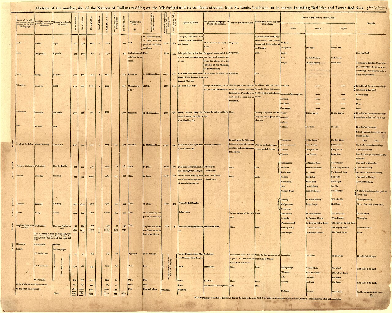 Book
Primary source
An Account of Expeditions to the Sources of the Mississippi, and through the Western Parts of Louisiana
Zebulon Montgomery Pike · 1810
 Artifact
Secondary source
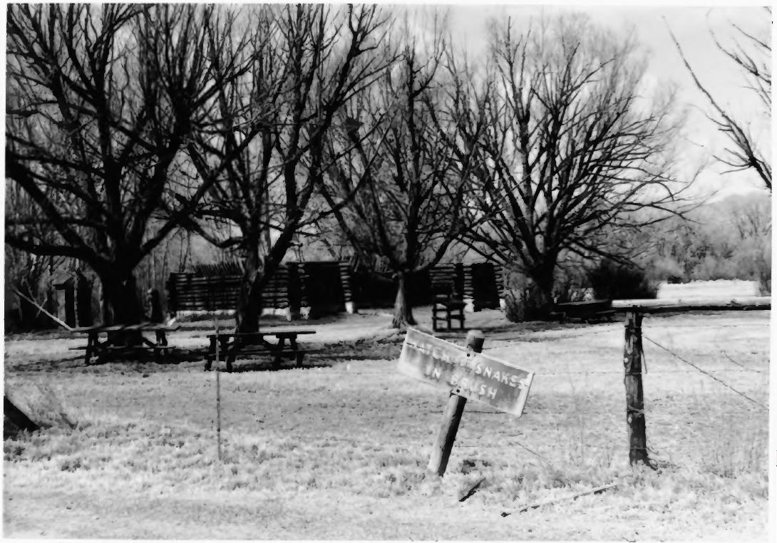
Pike's Stockade
Zebulon Pike's expedition · 1807 (reconstructed later)
 Painting
Primary source
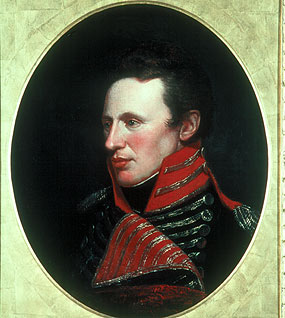
Portrait of Zebulon Pike
Charles Willson Peale
 Artifact
Primary source
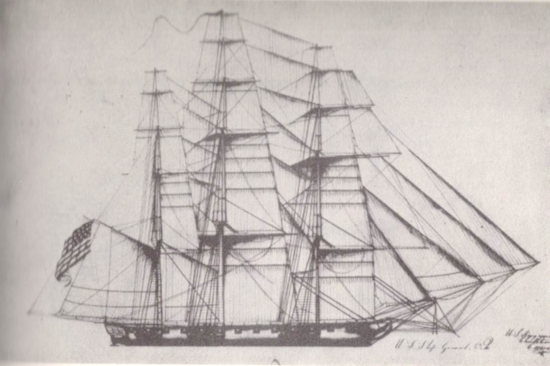
A Chart of the Internal Part of Louisiana
Zebulon Pike · 1810
Free account
Read every Zebulon Pike source
Sign up free →
Ready when you are
Start chatting with Zebulon Pike now.
20 messages free · No credit card · Available in 50+ languages.