


Primary sourceArtifact1766
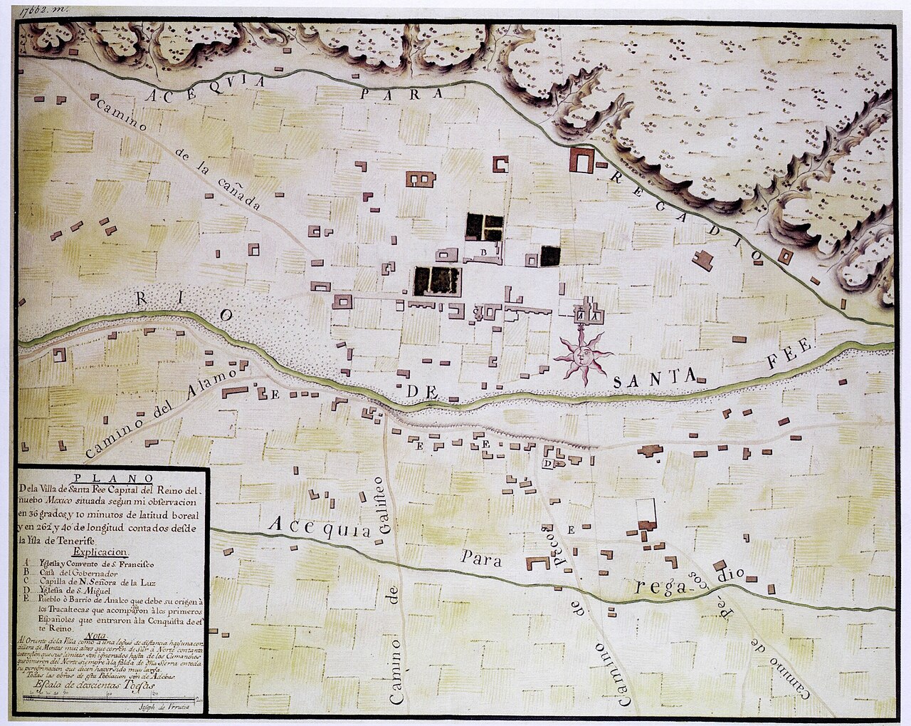
Plano de la Villa de Santa Fe, Nuevo Mexico
José de Urrutia · 1766
A 1766 Spanish colonial map of Santa Fe, New Mexico, the town where Pike was later taken after his capture by Spanish authorities.
Shows the Spanish colonial town of Santa Fe where Pike was taken after his capture, giving context to his expedition.
About this source
What it is
This hand-drawn, colored map shows the village of Santa Fe, New Mexico, as it looked in 1766. It was drawn by Joseph de Urrutia, a draftsman who accompanied the Marquez de Rubi on an inspection tour of northern New Spain's presidios. The map shows buildings, irrigation ditches, the river, roads, and a compass rose.
Why it matters
Although made decades before Pike's expedition, this map shows the Spanish colonial town that later became important in his story, when he was taken there after being captured by Spanish forces. It helps students picture the place and the Spanish colonial world Pike encountered far from the United States.
Look closer
- What features of the town does the mapmaker choose to highlight?
- Why would a Spanish official commission a detailed map of a frontier town like this?
- How might this map help you understand the place where Pike's expedition ended up, even though it was made years earlier?
This artifact is part of the curated material that grounds the AI version of Zebulon Pike on Humy.ai — when students ask about related events, the AI can quote it and cite it.
More Zebulon Pike sources
Browse all 48 →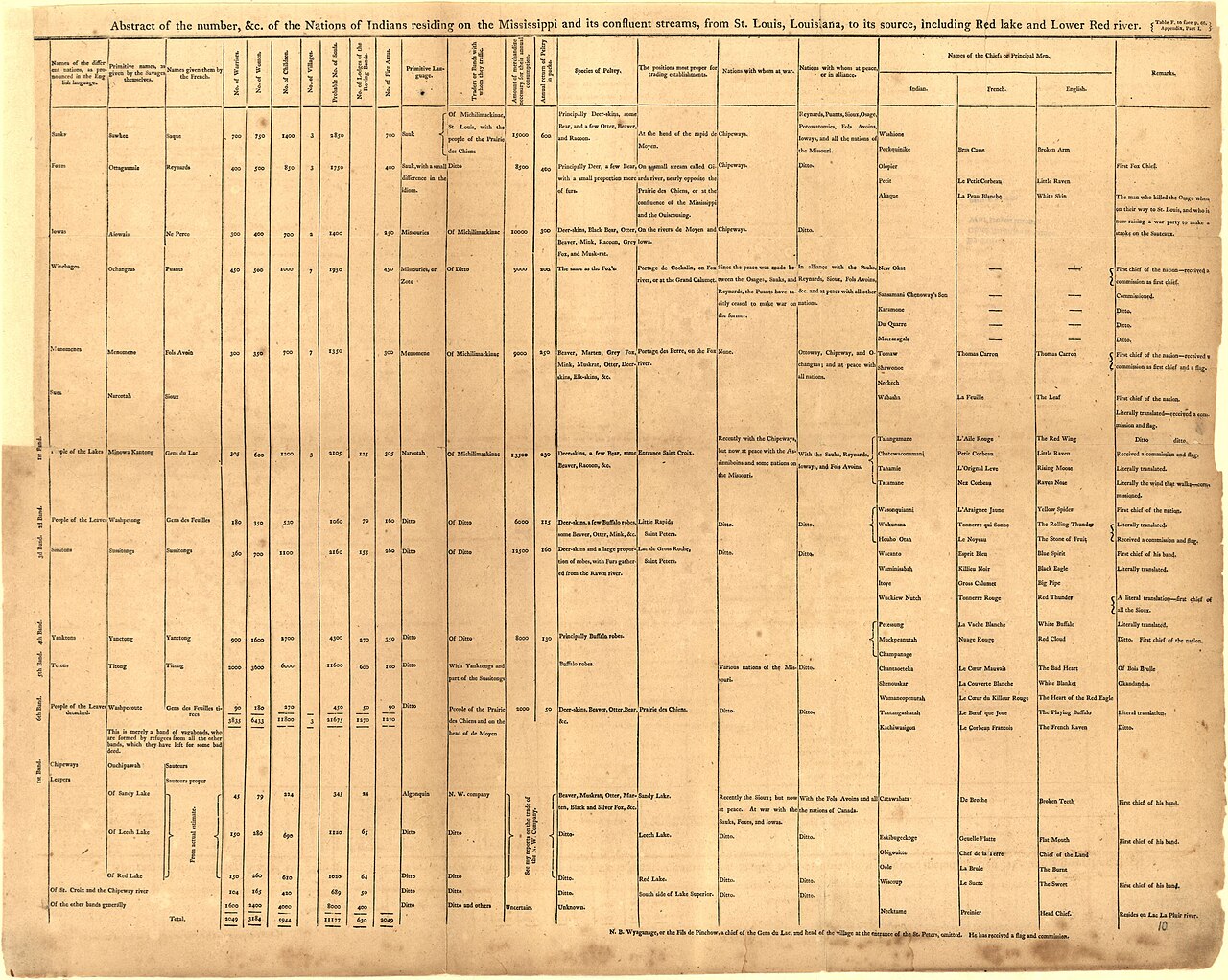 Book
Primary source
An Account of Expeditions to the Sources of the Mississippi, and through the Western Parts of Louisiana
Zebulon Montgomery Pike · 1810
 Artifact
Secondary source
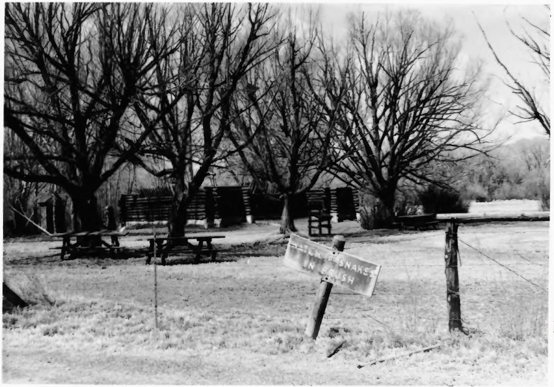
Pike's Stockade
Zebulon Pike's expedition · 1807 (reconstructed later)
 Painting
Primary source
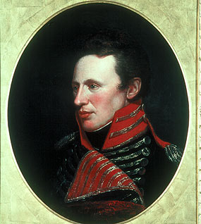
Portrait of Zebulon Pike
Charles Willson Peale
 Artifact
Primary source
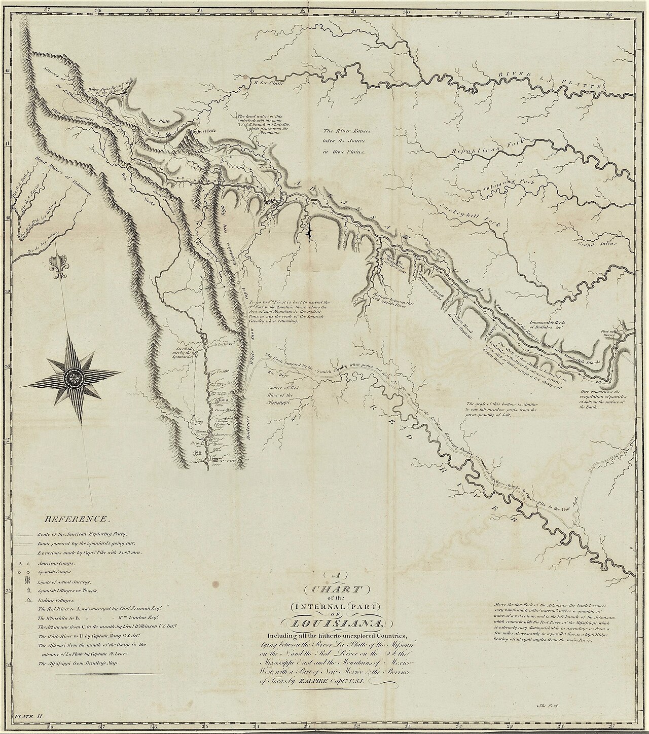
A Chart of the Internal Part of Louisiana
Zebulon Pike · 1810
Free account
Read every Zebulon Pike source
Sign up free →
Ready when you are
Start chatting with Zebulon Pike now.
20 messages free · No credit card · Available in 50+ languages.