


Secondary sourceDocument1911
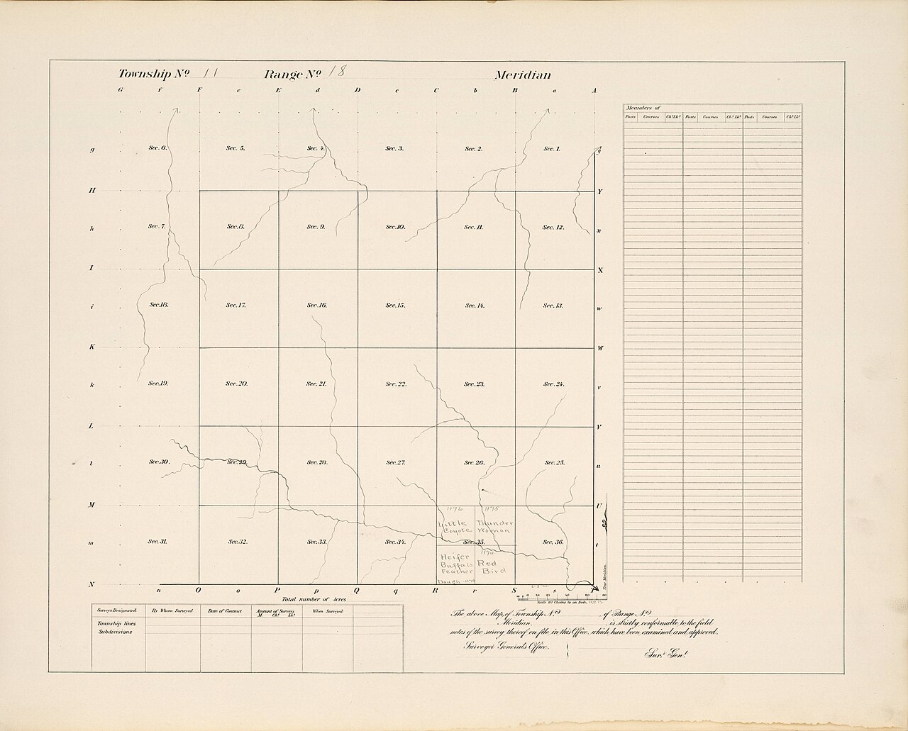
Plat Map for Township 11 and Range 18, Cheyenne and Arapaho Reservation
Office of Indian Affairs, Cheyenne and Arapaho Agency · 1911
A 1911 survey map of the Cheyenne and Arapaho Reservation showing land sections, including one labeled with Little Raven's name, made after his death.
This later survey map of the reservation land Little Raven helped secure bears his name among landholders.
About this source
What it is
This is a survey plat map made in 1911 by the Office of Indian Affairs, showing a township within the Cheyenne and Arapaho Reservation. It divides the land into numbered sections and marks creeks and landholders, including handwritten names near the center.
Why it matters
The map shows how the reservation land that Little Raven had helped secure through treaty negotiations was later surveyed and divided, decades after his death. The presence of his name on the map reflects how land allotment policy affected Arapaho families who carried his legacy forward.
Look closer
- Why might Little Raven's name appear on a map made after he died?
- What does the grid of numbered sections tell you about how the U.S. government approached Native land?
- How might this surveyed, divided land compare to the land the Arapaho used before reservations?
This document is part of the curated material that grounds the AI version of Little Raven on Humy.ai — when students ask about related events, the AI can quote it and cite it.
More Little Raven sources
Browse all 30 →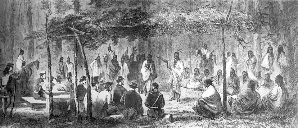 Document
Primary source
Medicine Lodge Treaty
October 1867
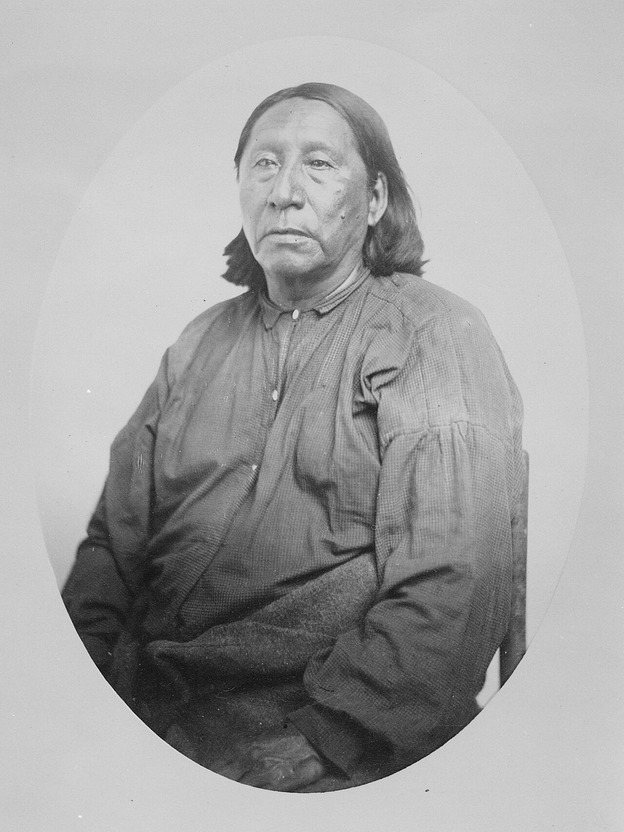 Photograph
Primary source
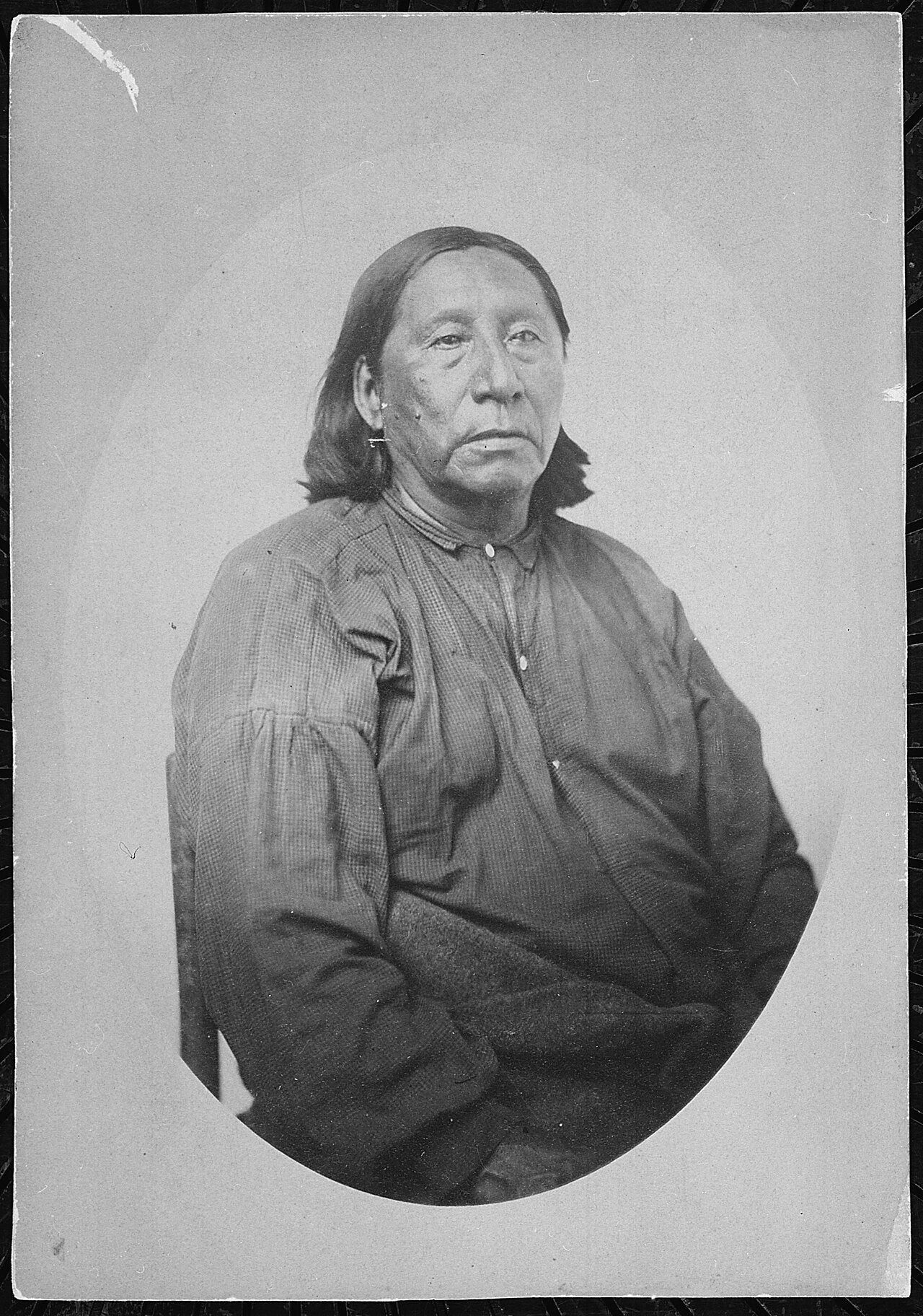
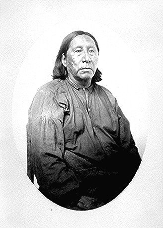
Little Raven, Head Chief of the Arapaho
William S. Soule · 1868-1874
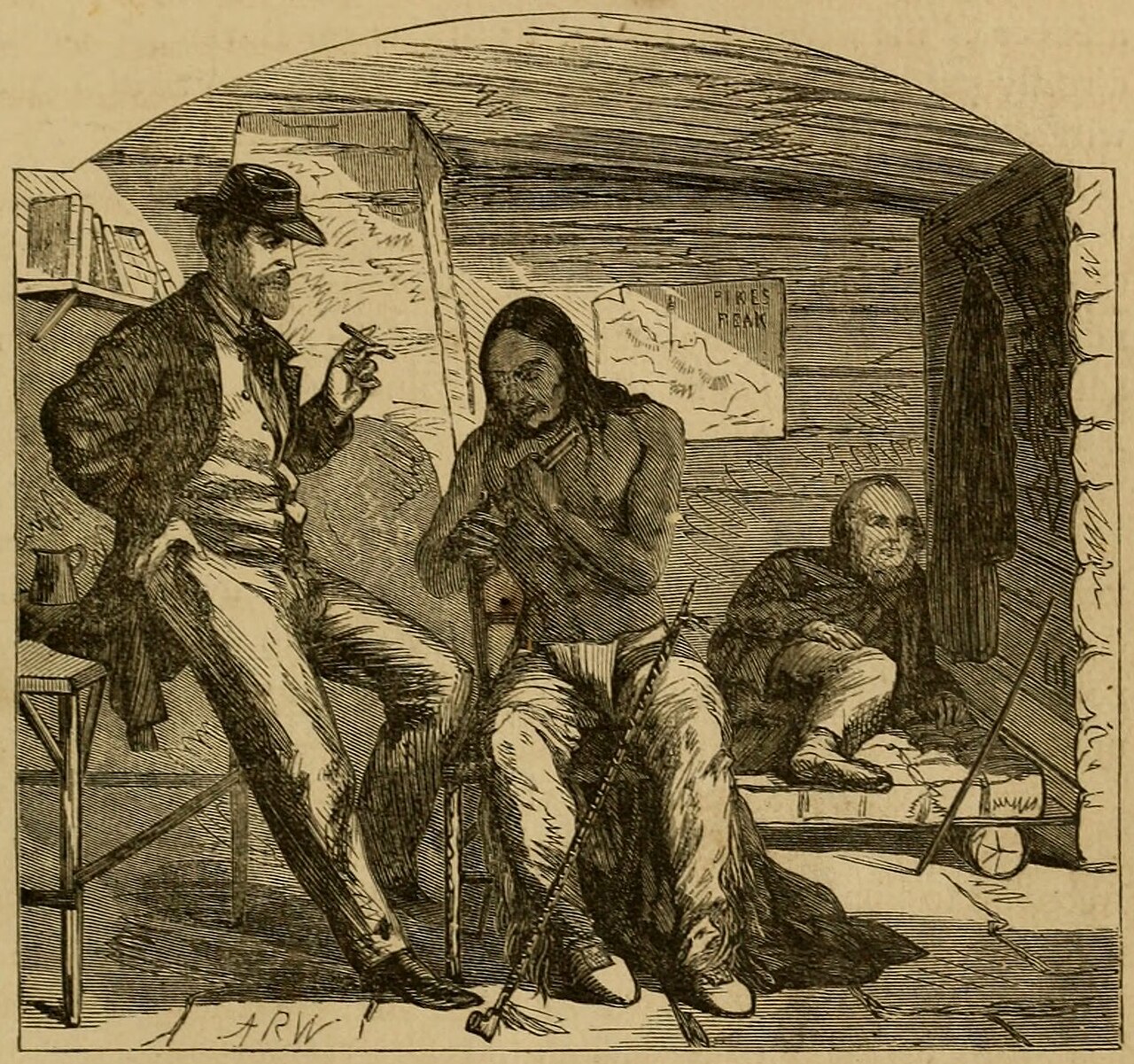 Painting
Secondary source
A Visit from Little Raven
Alfred Waud · 1859
Primary source
My Life on the Plains
George Armstrong Custer · 1874
Free account
Read every Little Raven source
Sign up free →
Ready when you are
Start chatting with Little Raven now.
20 messages free · No credit card · Available in 50+ languages.