


Primary sourceDocument1830
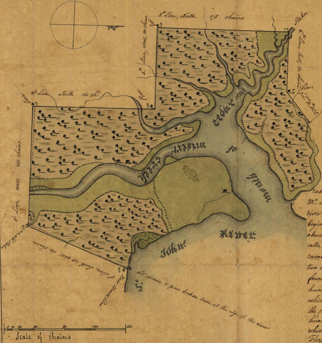
Plat Map on St. John's River, Duval County
United States Board of Land Commissioners · 1830
An 1830 surveyor's plat map of a land claim on the St. John's River near Jacksonville, from the region of Kingsley's plantations.
This 1830 land claim plat documents the Florida land system under which Kingsley's own plantations were held.
About this source
What it is
This is a plat map from 1830 showing a surveyed tract of land on the St. John's River, claimed by John H. McIntosh. It was created as part of the U.S. Board of Land Commissioners' process of settling Spanish land claims in Florida after the territory was ceded to the United States in 1821, and is held by the State Library and Archives of Florida.
Why it matters
This map documents how land claims from the Spanish period were reviewed and confirmed under U.S. territorial rule, the legal landscape in which Zephaniah Kingsley's own Florida plantations existed.
Look closer
- What symbols and marks does the surveyor use, and what do they tell you about the land?
- Why did the U.S. government need to review old Spanish land claims after 1821?
- What is missing from a document like this that would help you understand who lived and worked on this land?
This document is part of the curated material that grounds the AI version of Zephaniah Kingsley on Humy.ai — when students ask about related events, the AI can quote it and cite it.
More Zephaniah Kingsley sources
Browse all 22 →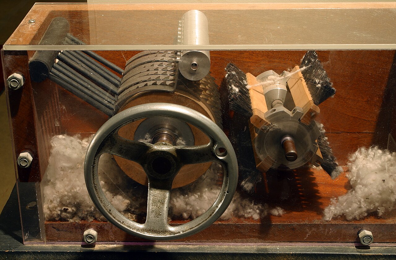 Artifact
Primary source
Cotton Gin
Eli Whitney · 1794
Primary source
A Treatise on the Patriarchal, or Co-operative System of Society
Zephaniah Kingsley · 1828
 Artifact
Primary source
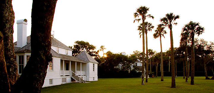
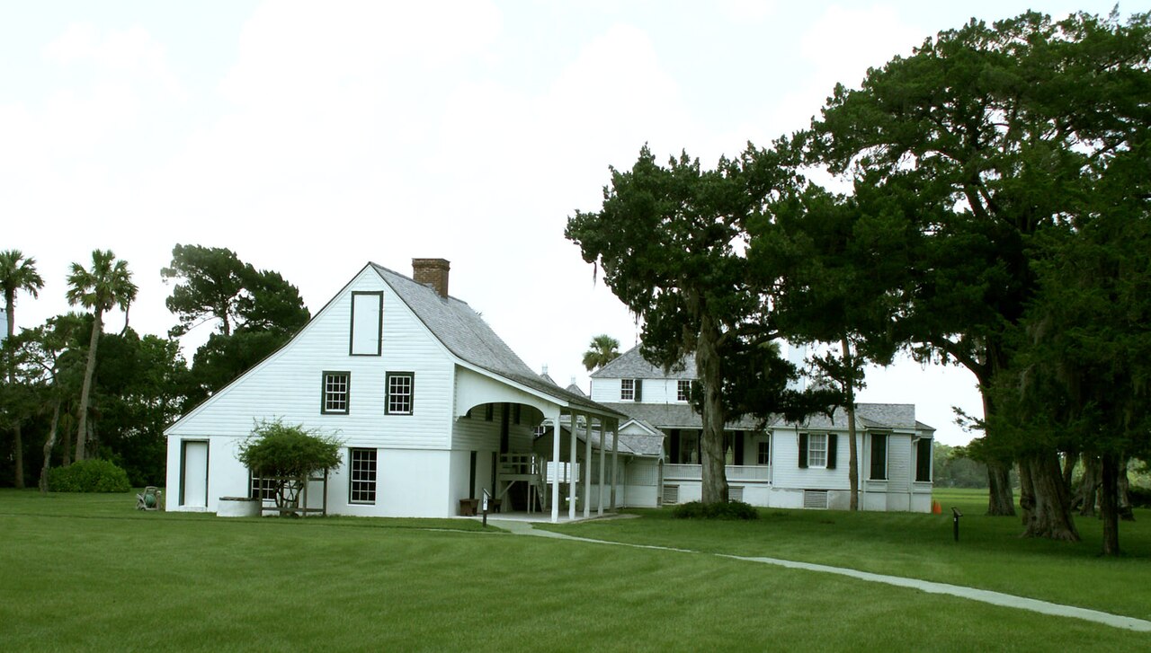
Kingsley Plantation
c. 1797-1837
Primary source
The United States Against Zephaniah Kingsley, Supreme Court Reports 1830
Supreme Court of the United States · 1830 (filed 1837)
Free account
Read every Zephaniah Kingsley source
Sign up free →
Ready when you are
Start chatting with Zephaniah Kingsley now.
20 messages free · No credit card · Available in 50+ languages.