


Primary sourceDocument1798
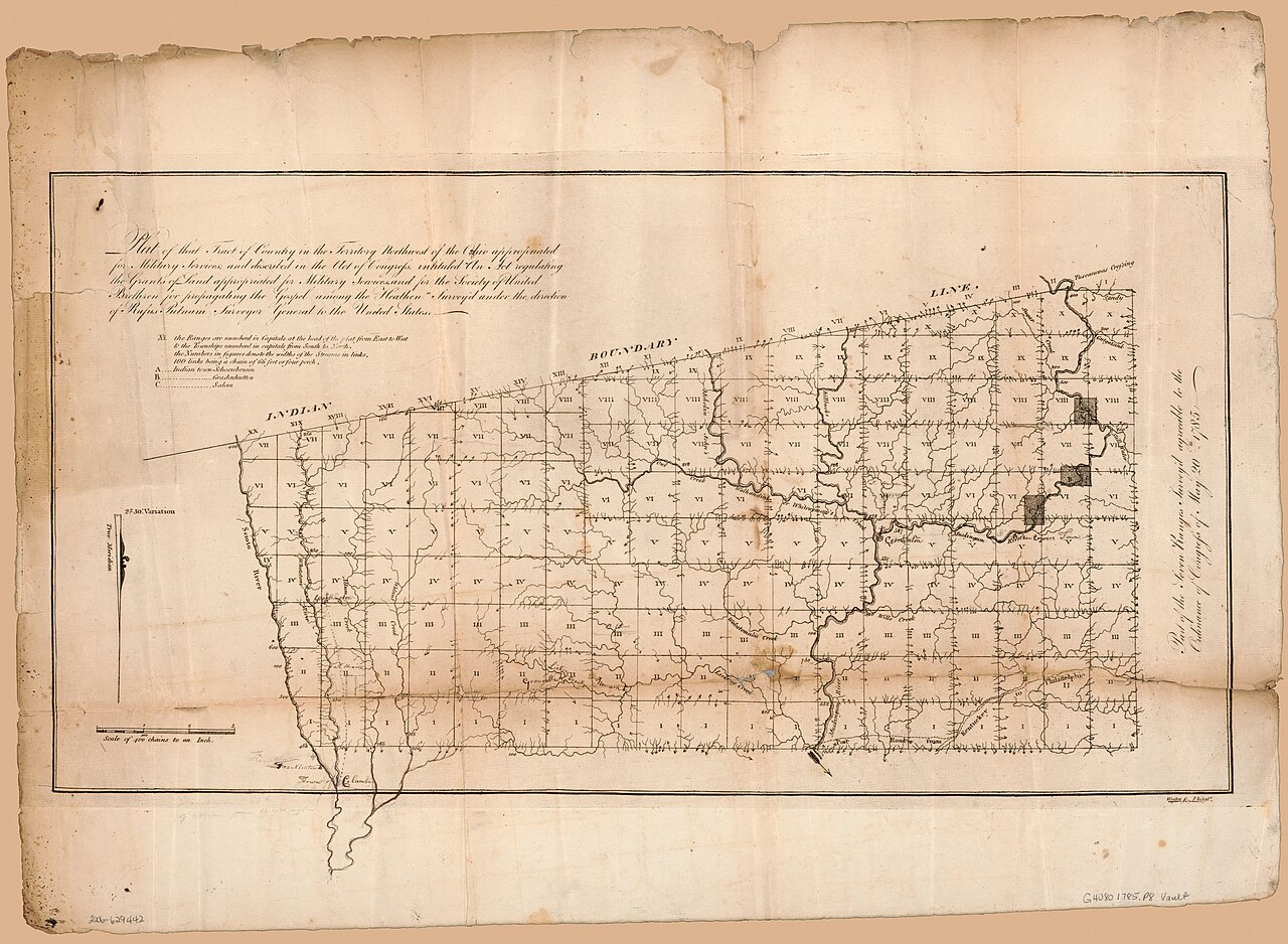
Plat of Military Tract Northwest of the Ohio
Rufus Putnam · 1798
A 1798 hand-drawn survey plat dividing lands in the Northwest Territory into townships, part of the land system St. Clair governed as territorial governor.
Shows the land system St. Clair administered as governor of the Northwest Territory.
Free Humy account · No credit card · 120,912 sources to read
About this source
What it is
This is a hand-drawn survey plat from 1798, made by Rufus Putnam under the ordinance of Congress for surveying the "seven ranges." It shows a grid of numbered townships, boundary lines, and river courses.
Why it matters
The map reflects how land in the Northwest Territory was divided for settlement. Arthur St. Clair governed this territory as its first governor, overseeing the political system under which such surveys took place. The plat reveals how surveyors and officials worked together to organize new land for American expansion.
Look closer
- What details does the surveyor include to make the land usable for settlers?
- Why might accurate boundaries have mattered so much to the government and to settlers?
- What does this map leave out about the people already living on this land?
This document is part of the curated material that grounds the AI version of Arthur St. Clair on Humy.ai — when students ask about related events, the AI can quote it and cite it.
More Arthur St. Clair sources
Browse all 68 →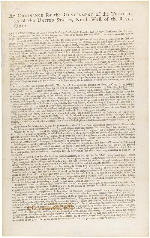 Document
Primary source
Northwest Ordinance
Confederation Congress · 13 July 1787
 Document
Primary source
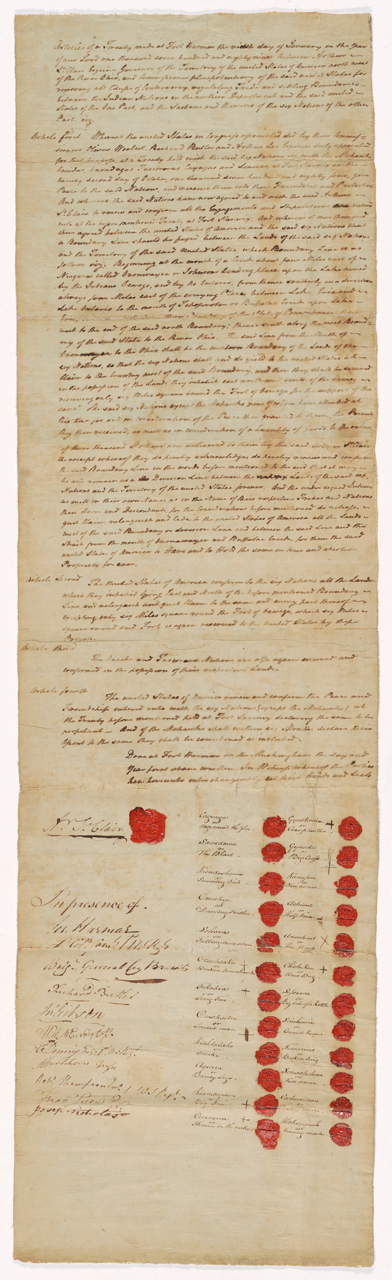
Treaty of Fort Harmar
9 January 1789
 Painting
Primary source
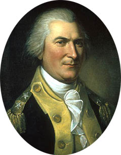
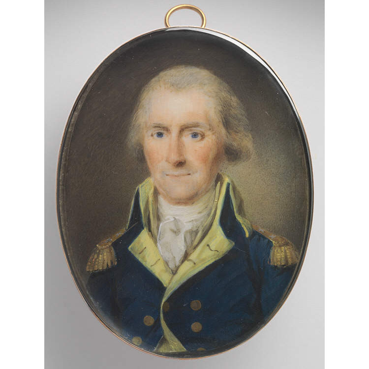
Portrait of Arthur St. Clair
Charles Willson Peale · 1782
 Painting
Primary source
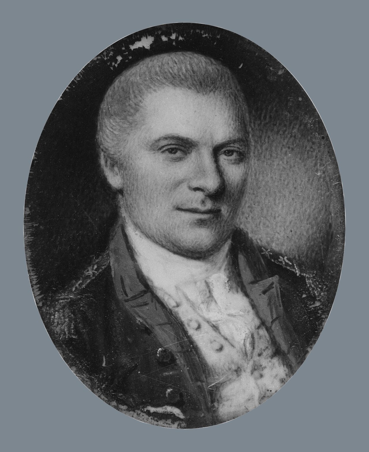
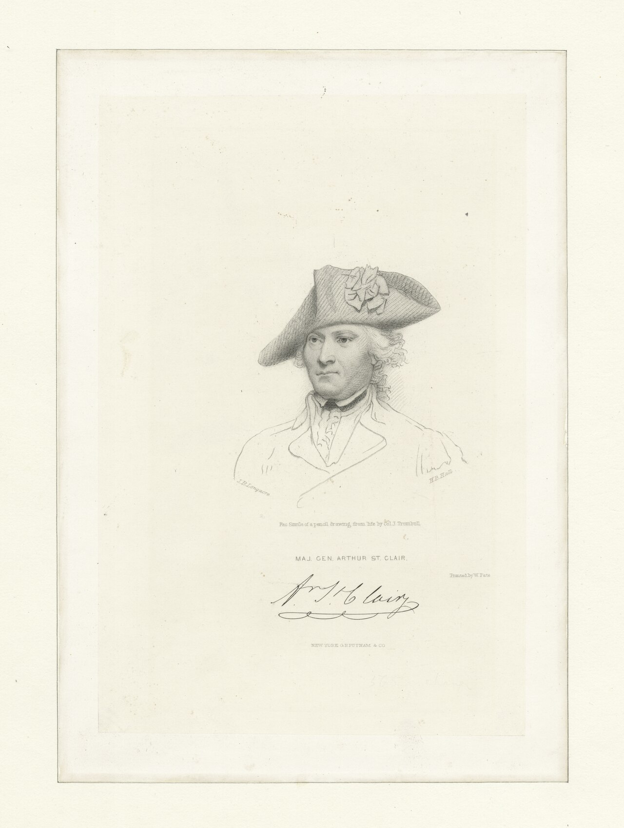
Arthur St. Clair
Henri Elouis · 1795

Free account
Read every Arthur St. Clair source
Sign up free →
Ready when you are
Start chatting with Arthur St. Clair now.
20 messages free · No credit card · Available in 50+ languages.