


Primary sourceDocument1884
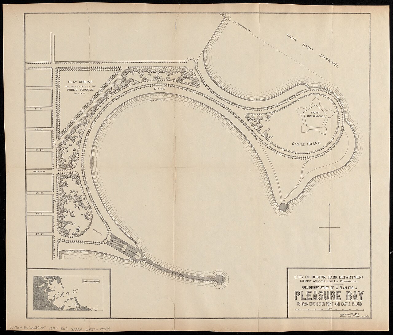
Pleasure Bay Preliminary Plan
Frederick Law Olmsted · 1884
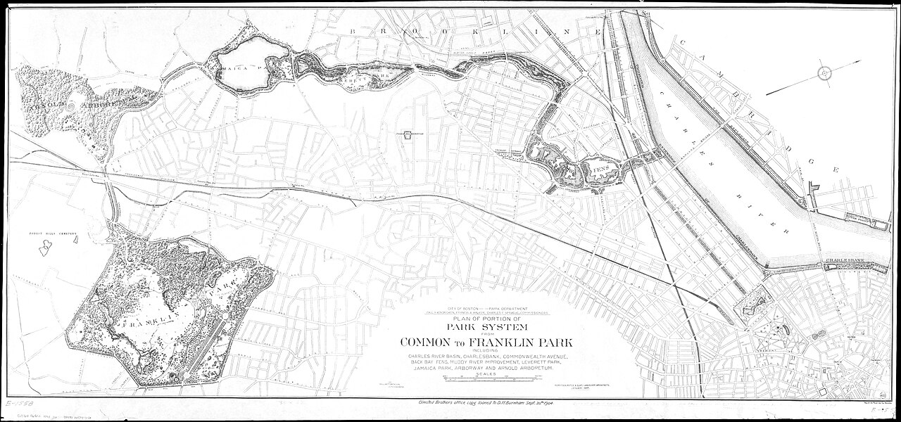
Olmsted's 1884 preliminary study map for a Pleasure Bay between Dorchester Point and Castle Island in Boston Harbor.
A map drawn by Olmsted himself showing one of his designs for public park land in Boston.
About this source
What it is
This is a preliminary study map made by Frederick Law Olmsted in 1884. It is titled 'Pleasure Bay between Dorchester Point and Castle Island.' According to the media description, it shows a curved bay, Fort Independence on Castle Island, a playground for public schools, a strand, the Main Ship Channel, and a street grid, with a Boston Harbor inset. The record is held through the Digital Commonwealth.
Why it matters
The map shows Olmsted working as a designer of public land, planning a waterfront for people in Boston. Its features, including a playground for public schools, show that the plan was meant for ordinary city residents as well as for visitors.
Look closer
- What features on the map were meant for public use, and which were there already?
- Why would a designer include a harbor inset and a street grid?
- Whose needs might this plan have served best, and whose might it have overlooked?
This document is part of the curated material that grounds the AI version of Frederick Law Olmsted on Humy.ai — when students ask about related events, the AI can quote it and cite it.
More Frederick Law Olmsted sources
Browse all 92 →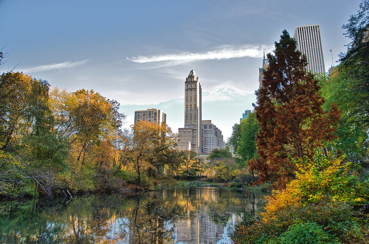 Artifact
Primary source
Central Park
Frederick Law Olmsted and Calvert Vaux · 1856
 Book
Primary source
Journeys and Explorations in the Cotton Kingdom
Frederick Law Olmsted · 1861
 Painting
Primary source
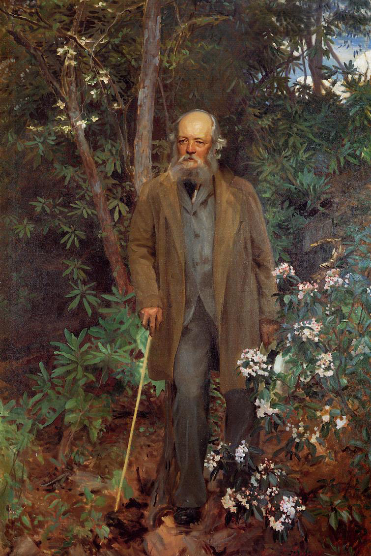
Frederick Law Olmsted
John Singer Sargent · 1895
 Artifact
Primary source
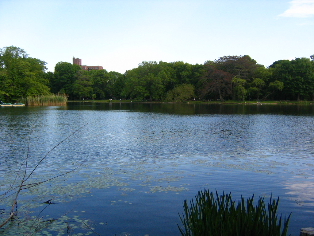
Prospect Park
Frederick Law Olmsted and Calvert Vaux · 1867

Free account
Read every Frederick Law Olmsted source
Sign up free →
Ready when you are
Start chatting with Frederick Law Olmsted now.
20 messages free · No credit card · Available in 50+ languages.