


Secondary sourceDocument1912
Political Map of Asia in the 13th Century
John George Bartholomew · 1912
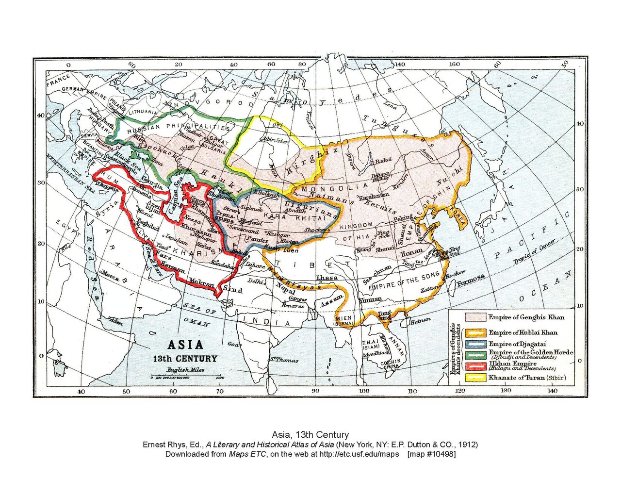
A 1912 historical atlas map showing the Mongol empires of the 1200s, including the territory ruled by Kublai Khan.
This map depicts the extent of Kublai Khan's empire within the wider Mongol world of the 13th century.
About this source
What it is
This is a printed map made in 1912 by John George Bartholomew for a historical atlas of Asia. It shows the political divisions of Asia in the 13th century, marking out the empire of Genghis Khan and the khanates that followed him, including the empire ruled by Kublai Khan.
Why it matters
This map is a later, modern historian's reconstruction, not a document from the Mongol period itself. It helps students see the scale of the territory that Kublai Khan controlled as part of the larger Mongol world, divided among Genghis Khan's successors into several khanates.
Look closer
- Since this map was drawn in 1912, centuries after the events, what choices might the mapmaker have made in dividing the territories?
- What does the map suggest about how Kublai Khan's empire related to the other Mongol khanates?
- What information might a map like this leave out about daily life or local rule within these huge territories?
This document is part of the curated material that grounds the AI version of Kublai Khan on Humy.ai — when students ask about related events, the AI can quote it and cite it.
More Kublai Khan sources
Browse all 81 →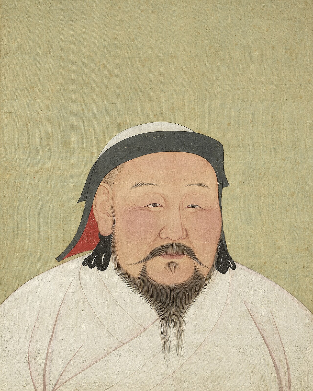 Painting
Secondary source
Portrait of Kublai Khan
Circle of Anige
 Book
Primary source
The Injustice to Dou E
Guan Hanqing · 1292
 Book
Secondary source
The Travels of Marco Polo
Rustichello da Pisa · 1298
 Book
Primary source
Goryeosa
Chŏng Inji · completed 1451
Free account
Read every Kublai Khan source
Sign up free →
Ready when you are
Start chatting with Kublai Khan now.
20 messages free · No credit card · Available in 50+ languages.