


Primary sourcePhotographc. 1860-1865
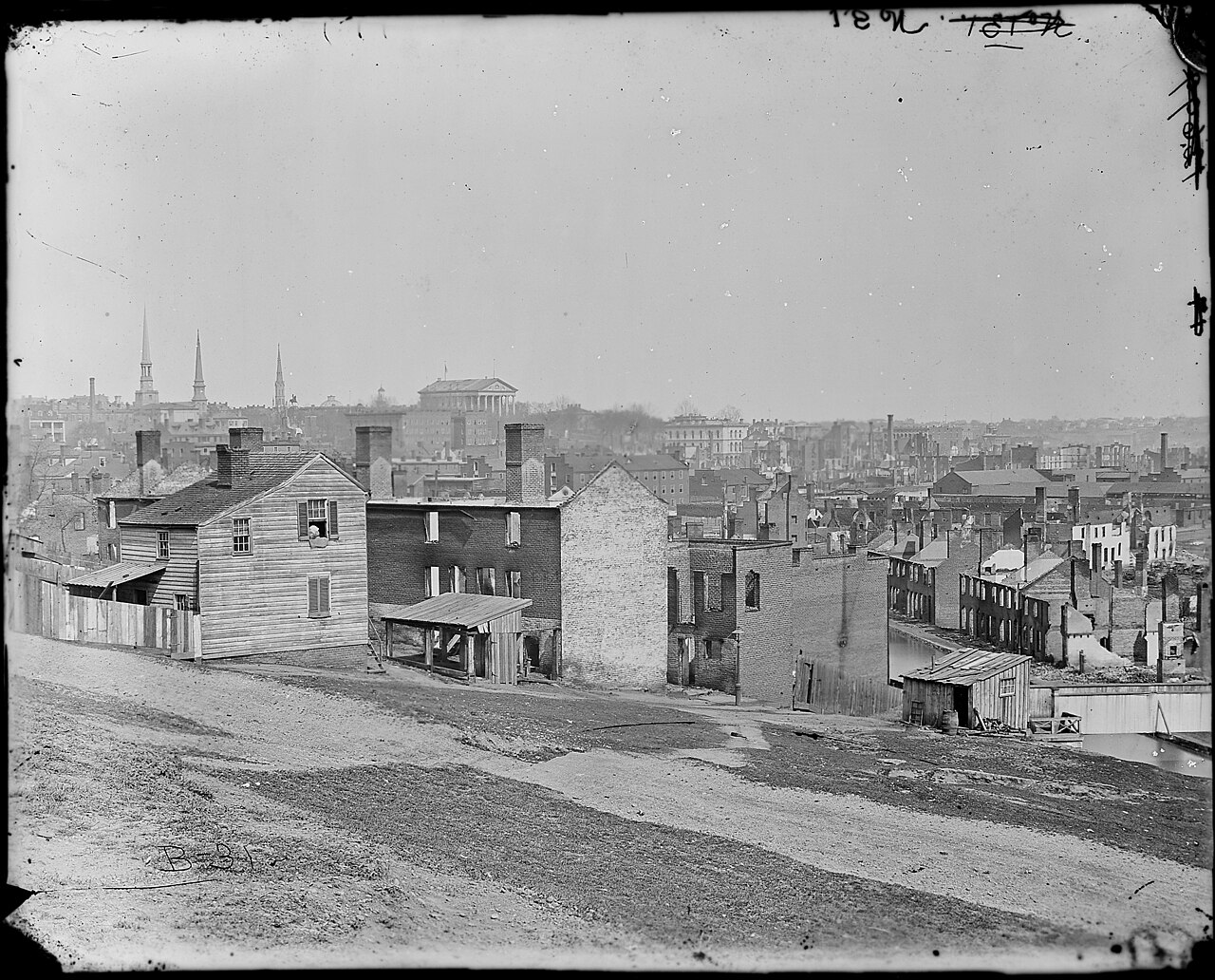
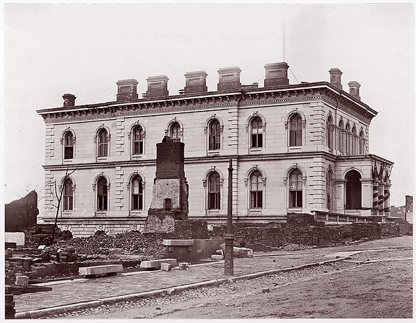
Richmond, after the Evacuation
Mathew Benjamin Brady · c. 1860-1865
A National Archives photograph from the Mathew Brady collection showing a Richmond street damaged after the Confederate evacuation.
This photograph of Richmond's ruin shows the city where Bowser spied on the Confederacy from inside its government.
About this source
What it is
This black-and-white photograph is part of the Mathew Brady Photographs of Civil War-Era Personalities and Scenes, held by the U.S. National Archives. It shows a hillside street in Richmond, Virginia, after the Confederate evacuation. The exact date is uncertain, though the series covers roughly 1860 to 1865.
Why it matters
Brady's photographic team documented the Civil War extensively, and this image preserves the appearance of Richmond, the Confederate capital, at a moment of collapse. It shows the setting of Mary Bowser's wartime espionage, carried out inside the Confederate White House in this same city.
Look closer
- What details in the buildings suggest the aftermath of conflict?
- Why do you think the National Archives preserved this image as part of a larger photographic record?
- What questions remain about exactly when and why this photograph was taken?
This photograph is part of the curated material that grounds the AI version of Mary Bowser on Humy.ai — when students ask about related events, the AI can quote it and cite it.
More Mary Bowser sources
Browse all 37 →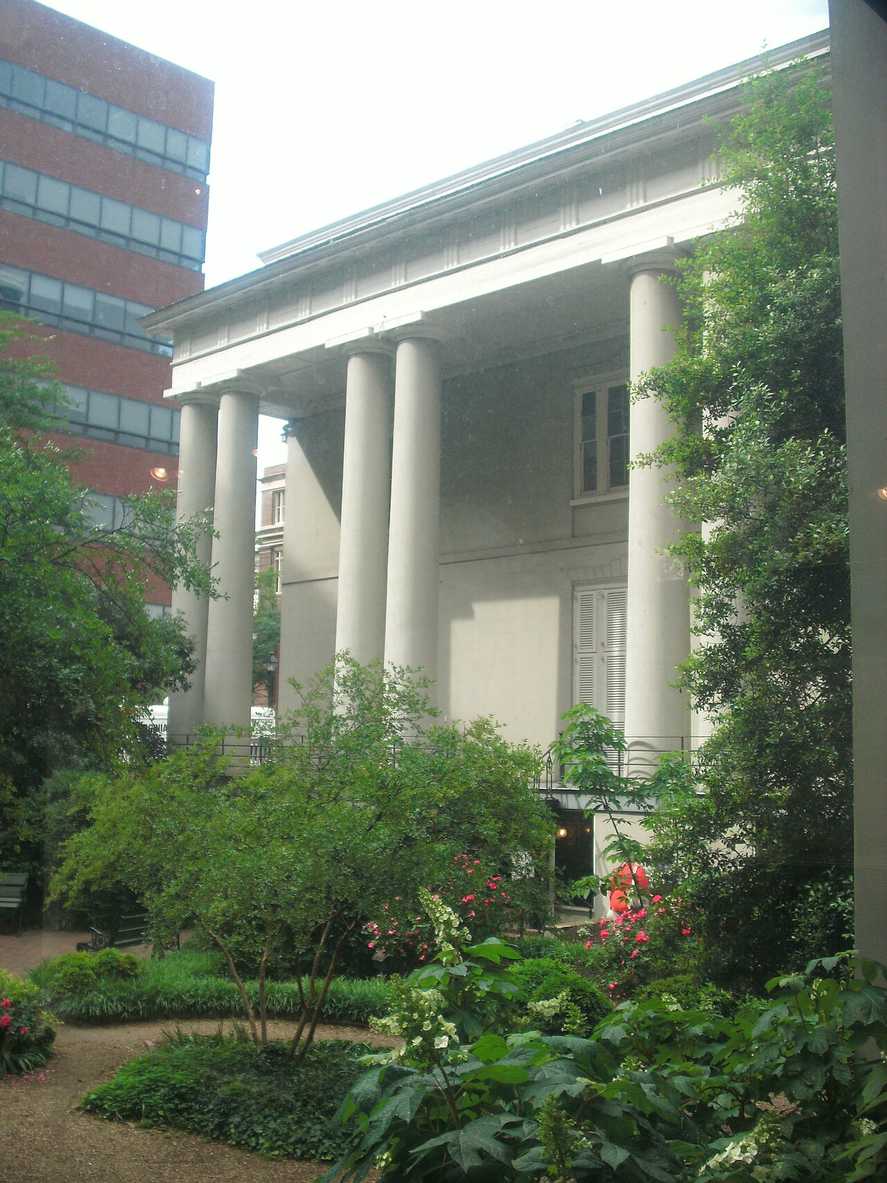 Artifact
Secondary source
White House of the Confederacy
Robert Mills · 1818
 Document
Primary source
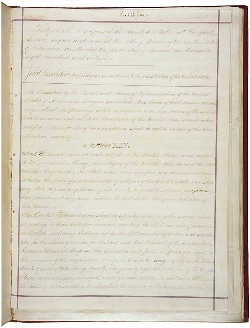
14th Amendment to the U.S. Constitution: Civil Rights
United States Congress · 1868
Primary source
The War of the Rebellion: Official Records, Volume 10 Part 2
United States War Department · 1880
 Document
Primary source
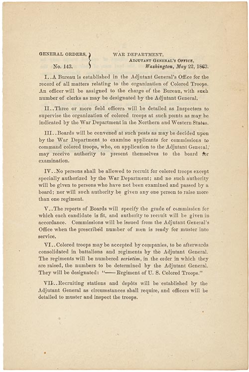
War Department General Order 143: Creation of the U.S. Colored Troops
22 May 1863
Free account
Read every Mary Bowser source
Sign up free →
Ready when you are
Start chatting with Mary Bowser now.
20 messages free · No credit card · Available in 50+ languages.