


Tertiary sourceDocument
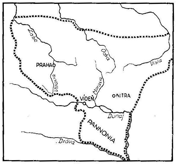
Říše Velkomoravská v době Svatoplukově
Unknown author
A historical map showing how older Czech historiography imagined the extent of Svatopluk's Great Moravian realm.
This later map depicts the territory Svatopluk is believed to have ruled, as imagined by Czech historians.
About this source
What it is
This is a black-and-white line map drawn by an unknown author, showing the territory of Great Moravia under Svatopluk I. It labels rivers such as the Labe, Odra, Visla, Morava, Váh, Dunaj and Drava, and places including Praha, Vídeň, Nitra and Pannonia, with dotted lines marking the claimed borders.
Why it matters
Maps like this were made long after Svatopluk's lifetime, during a period when Czech and Slovak historians were trying to reconstruct how far his power reached. It shows not what Svatopluk himself knew of his realm, but how later generations imagined and argued about it, especially in connection with the Magyar settlement of Hungary that followed Great Moravia's decline.
Look closer
- Why might a map made long after Svatopluk's death not be fully accurate?
- What does the choice of borders and labels tell you about who made this map and why?
- What is missing from this map that a modern historical map might include?
This document is part of the curated material that grounds the AI version of Svatopluk I of Moravia on Humy.ai — when students ask about related events, the AI can quote it and cite it.
More Svatopluk I of Moravia sources
Browse all 32 →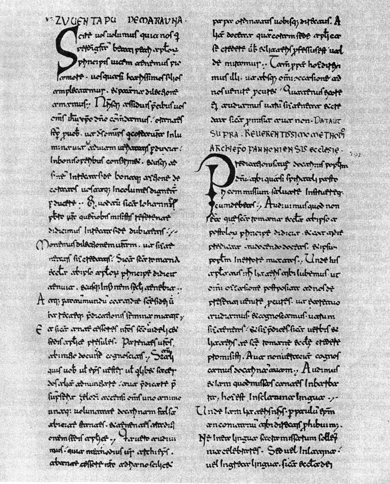 Letter
Primary source
Letter Scire vos volumus
Pope John VIII
 Book
Secondary source
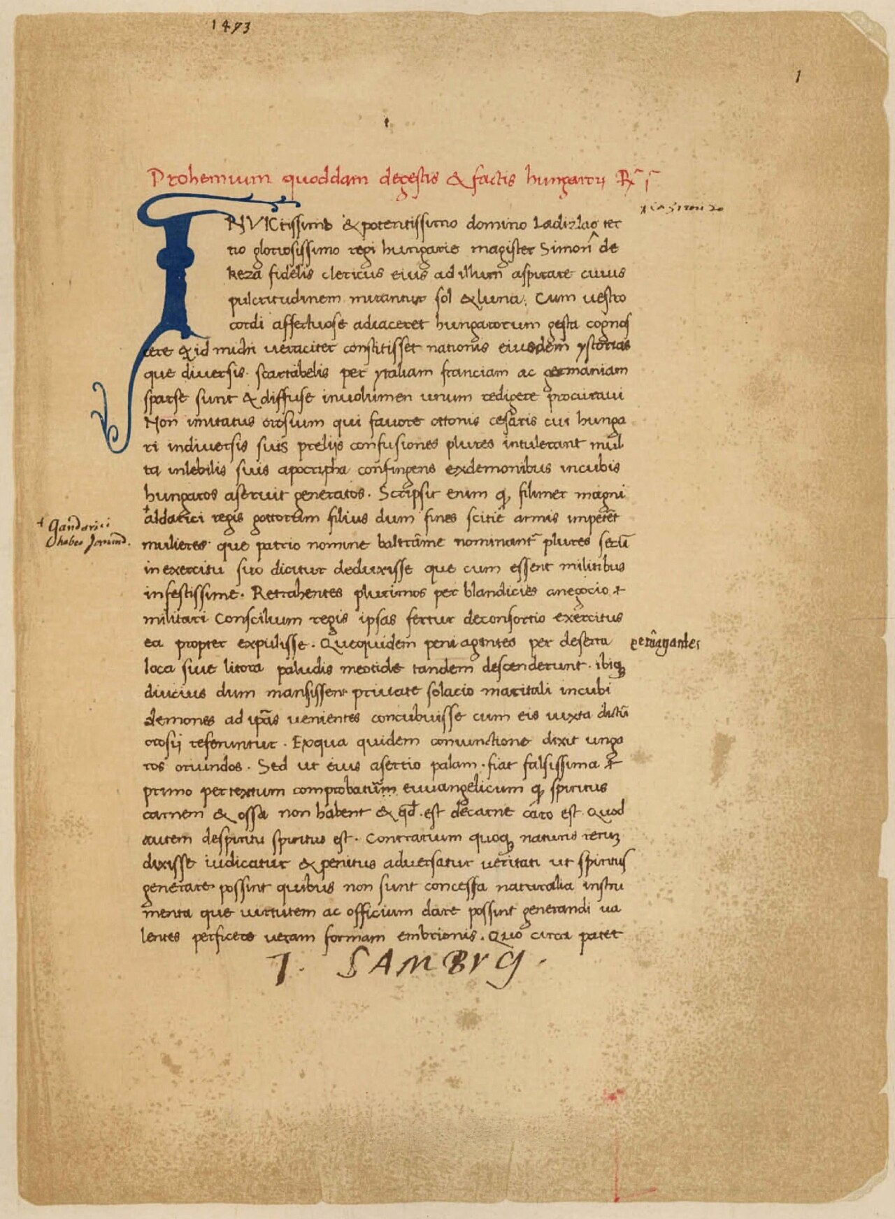
Gesta Hunnorum et Hungarorum
Simon of Kéza · c. 1282-1285
 Artifact
Primary source
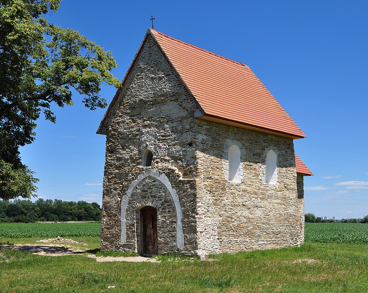
Church of St. Margaret of Antioch
9th-10th century
 Artifact
Secondary source
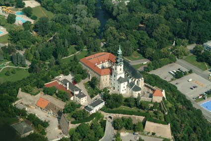
Nitra Castle
2000
Free account
Read every Svatopluk I of Moravia source
Sign up free →
Ready when you are
Start chatting with Svatopluk I of Moravia now.
20 messages free · No credit card · Available in 50+ languages.