


Secondary sourcePhotographcirca 1887
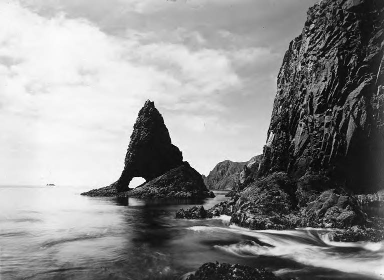
Rock Formation at Cape Saint Elias
Charles W. Scarborough · circa 1887
A late 19th-century photograph of a sea stack near Cape Saint Elias, Alaska, the area Bering's expedition first sighted in 1741.
Shows the rocky coastal landscape near the Alaskan cape Bering's expedition sighted in 1741.
About this source
What it is
This photograph, probably taken by Charles W. Scarborough around 1887, shows a tall, pointed sea stack with an arch at its base, near Cape Saint Elias, Alaska. Waves wash over rocks in the foreground, with cliffs and headlands in the distance.
Why it matters
Cape Saint Elias was the landfall sighted by Vitus Bering's 1741 expedition, an important moment in Russian exploration of the North Pacific. While this photograph was taken long after Bering's voyage, it shows the kind of rugged coastal landscape his expedition encountered, helping connect historical accounts to the physical place.
Look closer
- What might sailors on Bering's ships have thought when first seeing rock formations like this?
- Why do rocky coastlines like this one matter for ships trying to navigate or land safely?
- What does this image not tell us about Bering's actual experience of this coast?
This photograph is part of the curated material that grounds the AI version of Vitus Bering on Humy.ai — when students ask about related events, the AI can quote it and cite it.
More Vitus Bering sources
Meet the AI Vitus Bering →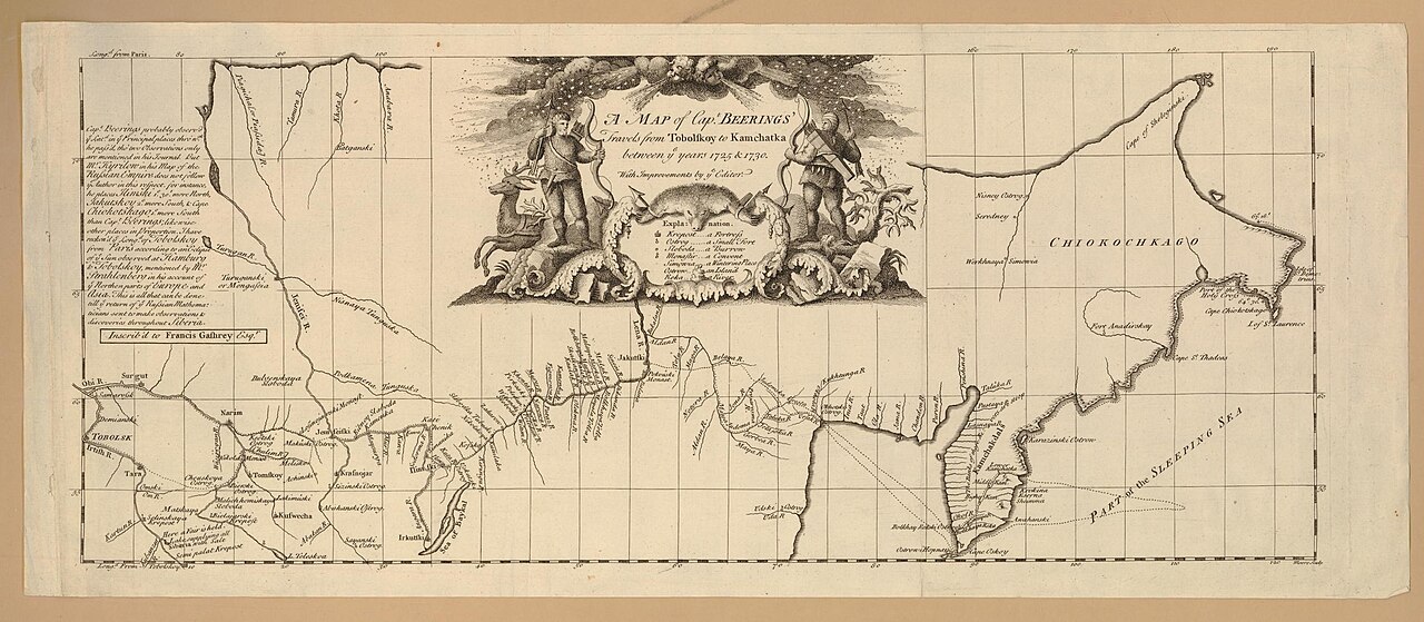 Document
Secondary source
Map of Captain Beerings' Travels from Tobolskoy to Kamchatka
between 1725 and 1730 (printed later)
 Book
Secondary source
Bering's Voyages: An Account of the Efforts of the Russians to Determine the Relation of Asia and America
Frank A. Golder · 1922–1925
 Book
Secondary source
Vitus Bering: the Discoverer of Bering Strait
Peter Lauridsen · 1889
Primary source
Early Expeditions to the Region of Bering Sea and Strait
Vitus Bering · 1891 (translation of earlier reports)
 Document
Primary source
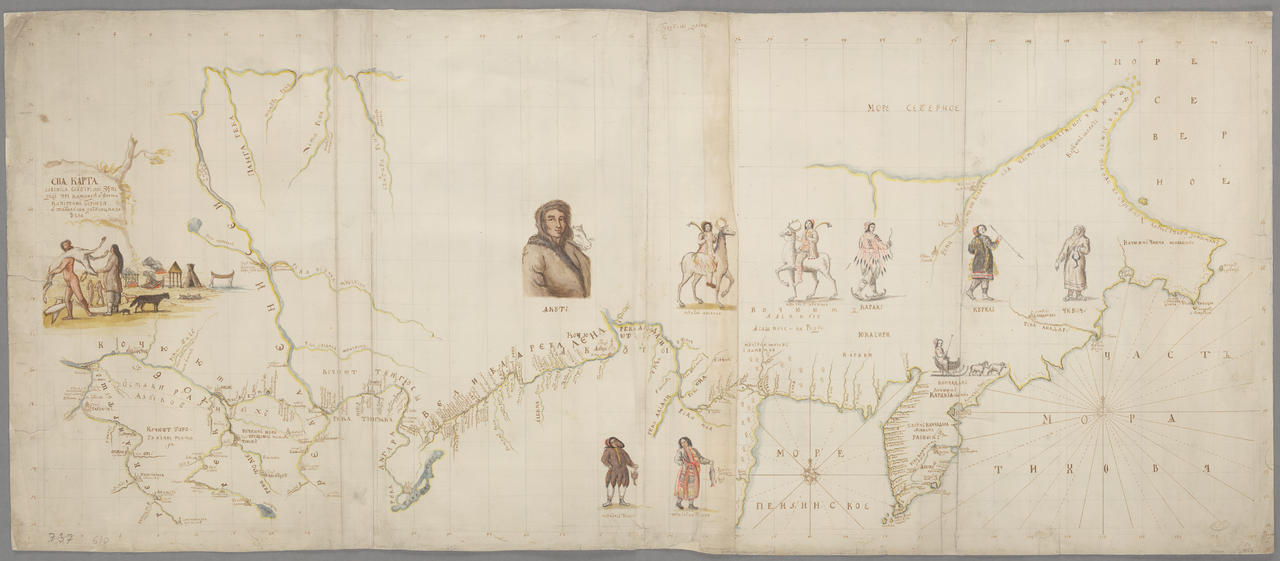
Chart of the Siberian Expedition under Bering, Tobolsk to Chukotka
Vitus Jonassen Bering · between 1725 and 1730
Ready when you are
Start chatting with Vitus Bering now.
20 messages free · No credit card · Available in 50+ languages.