


Secondary sourceDocumentcirca 1673 (after)
Rouge Trail Map
Louis Jolliet · circa 1673 (after)
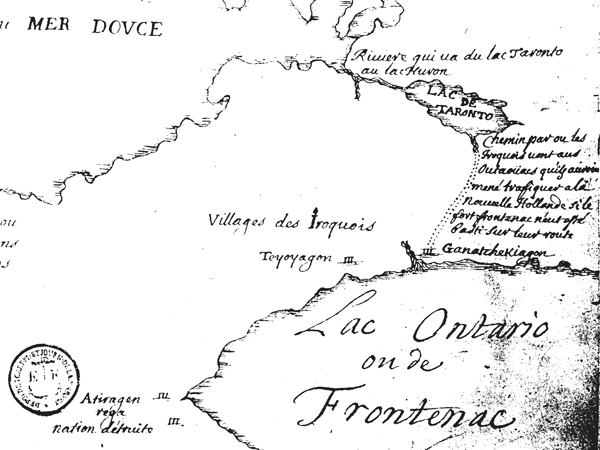
A manuscript map attributed to Louis Jolliet showing Lake Ontario and the Rouge trail, though its attribution and exact date are uncertain.
This map, attributed to Jolliet, shows the Rouge trail and reflects his work as a mapmaker, though the attribution is uncertain.
About this source
What it is
This is a hand-drawn ink map ascribed to Louis Jolliet, made sometime after 1673. It shows Lake Ontario, labeled as 'Lac Ontario ou de Frontenac,' along with Iroquois villages, the location called 'Ganatchekiagon,' and a dotted trail with handwritten notes, likely the Rouge River trail.
Why it matters
Maps like this one were essential tools for French exploration and trade in North America, recording geography and Indigenous settlements. Although the attribution to Jolliet is uncertain, the map reflects the kind of surveying and mapmaking work explorers like him carried out.
Look closer
- What details on the map suggest it was made by someone with firsthand knowledge of the area?
- Why might historians be unsure about who really made this map?
- What is missing from the map that modern maps would usually include?
This document is part of the curated material that grounds the AI version of Louis Jolliet on Humy.ai — when students ask about related events, the AI can quote it and cite it.
More Louis Jolliet sources
Meet the AI Louis Jolliet →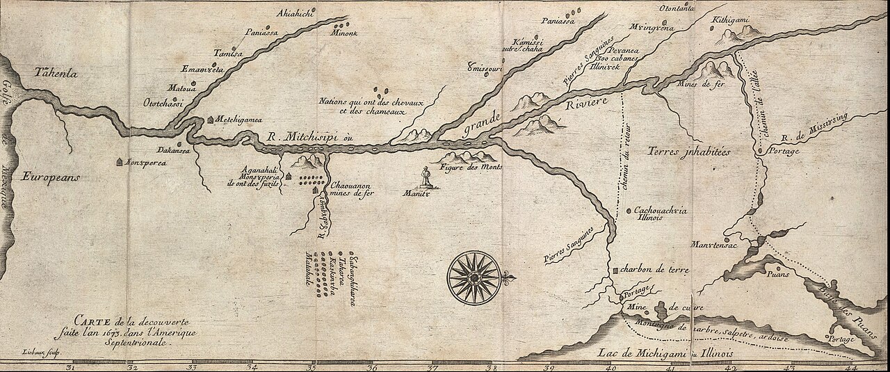 Document
Secondary source
Map of the Mississippi from the Marquette and Jolliet Expedition
Melchisédech Thévenot · c. 1681
 Book
Secondary source
Louis Jolliet, découvreur du Mississippi: étude biographique
Ernest Gagnon · 1913
 Document
Primary source
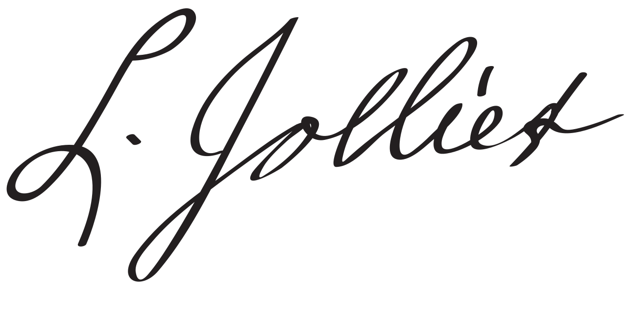
Signature of Louis Jolliet
Louis Jolliet
 Book
Primary source
Recueil de voyages de Mr Thévenot
Melchisédech Thévenot · 1681
Secondary source
Early Narratives of the Northwest, 1634-1699
Louise Phelps Kellogg · 1917
Ready when you are
Start chatting with Louis Jolliet now.
20 messages free · No credit card · Available in 50+ languages.