


Secondary sourceDocument19th century
Route of the First Kamchatka Expedition
Vasily Berkh · 19th century
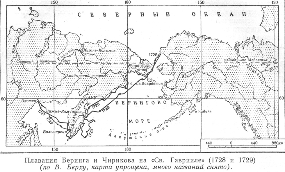
A later historical map by Vasily Berkh tracing the routes of Bering and Chirikov's 1728-1729 voyages.
This later map by historian Vasily Berkh traces the voyages Bering led during the First Kamchatka Expedition.
About this source
What it is
This simplified historical map, made by 19th-century historian Vasily Berkh, shows the voyages of the ship Sv. Gavriil in 1728 and 1729, led by Bering and Chirikov. It traces routes from Okhotsk and Kamchatka toward the Alaskan coast across the Bering Sea and Aleutian islands.
Why it matters
Berkh created this map afterward to help explain and preserve the record of the First Kamchatka Expedition, which Bering commanded. It shows how later historians used original survey data to reconstruct and interpret Bering and Chirikov's achievements.
Look closer
- Why might a historian redraw a map decades after the original voyage?
- What choices did Berkh make to simplify the routes for readers?
- What might be lost or changed when a map is redrawn long after the events it shows?
This document is part of the curated material that grounds the AI version of Vitus Bering on Humy.ai — when students ask about related events, the AI can quote it and cite it.
More Vitus Bering sources
Meet the AI Vitus Bering →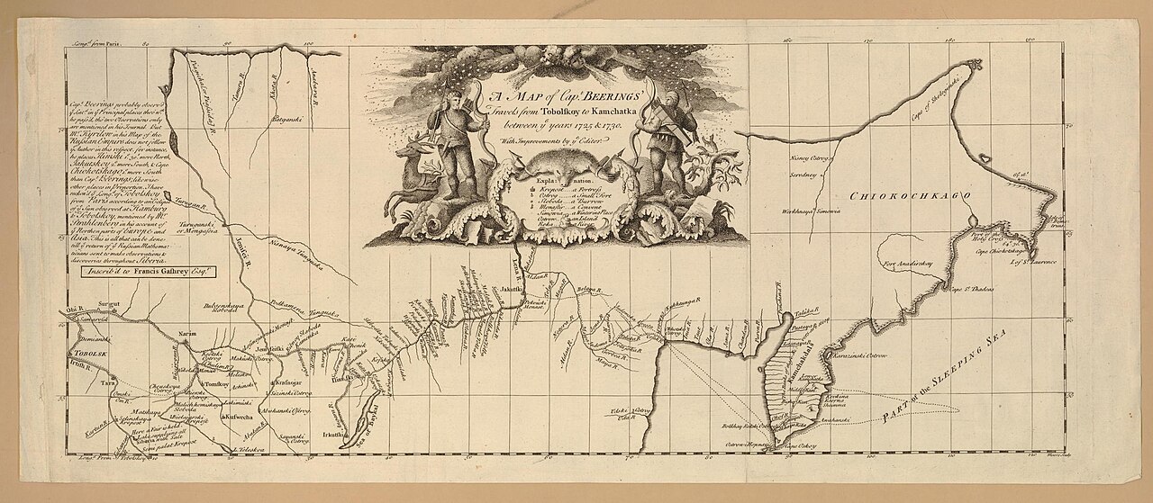 Document
Secondary source
Map of Captain Beerings' Travels from Tobolskoy to Kamchatka
between 1725 and 1730 (printed later)
 Book
Secondary source
Bering's Voyages: An Account of the Efforts of the Russians to Determine the Relation of Asia and America
Frank A. Golder · 1922–1925
 Book
Secondary source
Vitus Bering: the Discoverer of Bering Strait
Peter Lauridsen · 1889
Primary source
Early Expeditions to the Region of Bering Sea and Strait
Vitus Bering · 1891 (translation of earlier reports)
 Document
Primary source
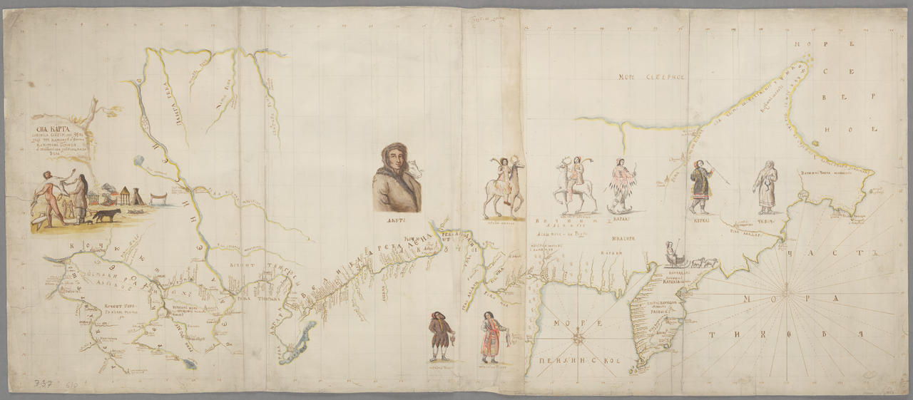
Chart of the Siberian Expedition under Bering, Tobolsk to Chukotka
Vitus Jonassen Bering · between 1725 and 1730
Ready when you are
Start chatting with Vitus Bering now.
20 messages free · No credit card · Available in 50+ languages.