


Primary sourceDocument1741
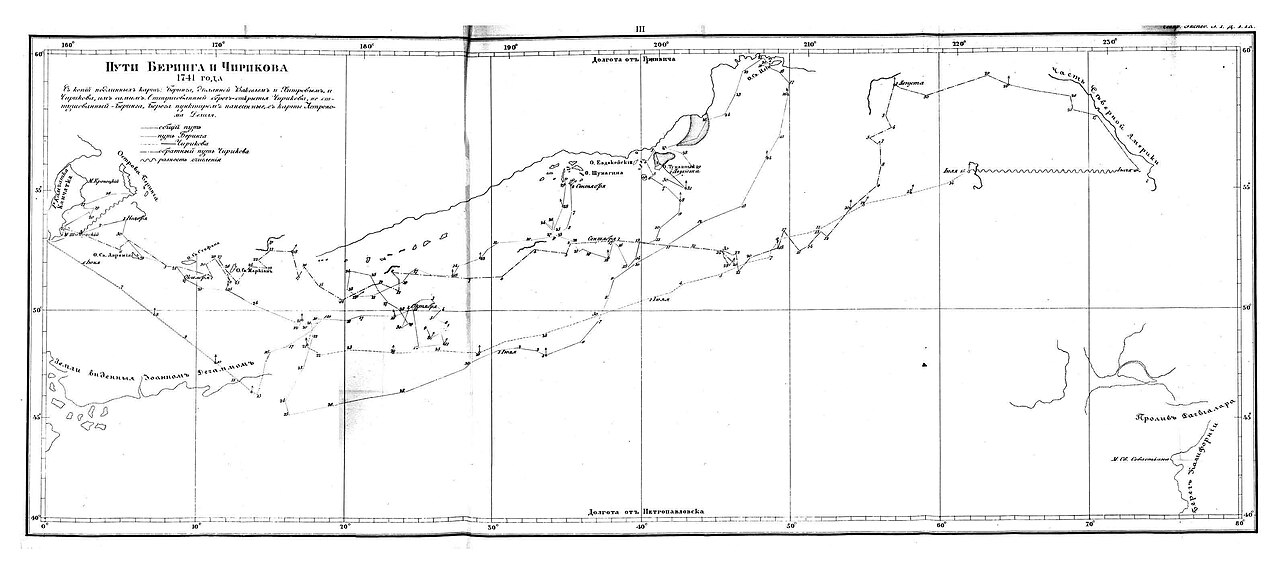
Routes of Bering and Chirikov, 1741
Russian cartographers, 1733-1743 (copied 1851) · 1741
A map tracing the 1741 voyage routes of Bering and Chirikov across the North Pacific.
This map directly traces Bering's 1741 voyage route, the expedition during which he died.
About this source
What it is
This map shows the 1741 routes taken by Vitus Bering and Alexei Chirikov across the North Pacific, between Siberia and Alaska. It was drawn by Russian cartographers working between 1733 and 1743, and later copied in 1851.
Why it matters
This map documents the key voyage of Bering's second Kamchatka expedition, during which he and Chirikov reached the coast of Alaska. It is a primary record of the routes taken, made close to the time of the voyage, and shows how Russian explorers charted unknown waters.
Look closer
- What do the numbered stops along the route tell you about how the voyage was recorded?
- Why might Bering's and Chirikov's ships have taken different paths?
- What does the level of detail in the coastlines suggest about how carefully the voyage was documented?
This document is part of the curated material that grounds the AI version of Vitus Bering on Humy.ai — when students ask about related events, the AI can quote it and cite it.
More Vitus Bering sources
Meet the AI Vitus Bering →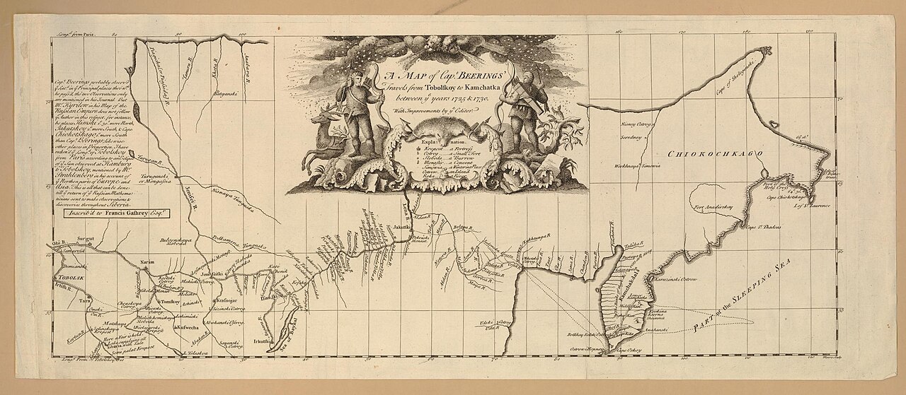 Document
Secondary source
Map of Captain Beerings' Travels from Tobolskoy to Kamchatka
between 1725 and 1730 (printed later)
 Book
Secondary source
Bering's Voyages: An Account of the Efforts of the Russians to Determine the Relation of Asia and America
Frank A. Golder · 1922–1925
 Book
Secondary source
Vitus Bering: the Discoverer of Bering Strait
Peter Lauridsen · 1889
Primary source
Early Expeditions to the Region of Bering Sea and Strait
Vitus Bering · 1891 (translation of earlier reports)
 Document
Primary source
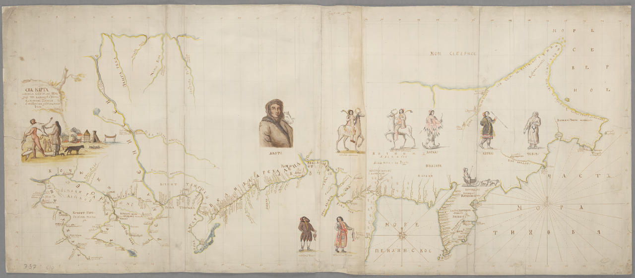
Chart of the Siberian Expedition under Bering, Tobolsk to Chukotka
Vitus Jonassen Bering · between 1725 and 1730
Ready when you are
Start chatting with Vitus Bering now.
20 messages free · No credit card · Available in 50+ languages.