


Secondary sourcePhotograph8 July 2012
San Juan Bautista Trailhead, Anza Trail
NPS · 8 July 2012
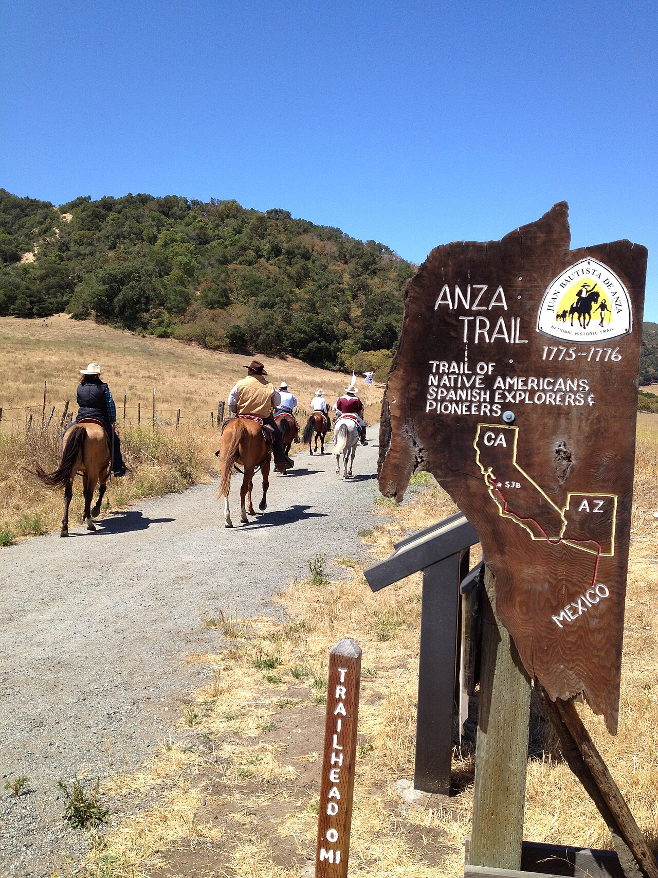
A 2012 photograph of riders on a gravel trail beside an Anza Trail sign showing a map of California, Arizona and Mexico.
Shows the modern Anza Trail in use by riders, a later commemoration of the route Anza led rather than a source from his time.
About this source
What it is
This is a color photograph taken on 8 July 2012 by the National Park Service. It shows riders on horseback on a gravel trail in dry grassy hills under a clear blue sky. A wooden Anza Trail sign on the right shows a map of California, Arizona and Mexico, with a trailhead marker in front.
Why it matters
The sign marks the start of the Anza Trail, which follows the route of the expedition led by Juan Bautista de Anza, a Basque explorer and governor. The photograph is a modern picture of people using the trail for recreation, not a record from Anza's time. It shows how the route is remembered and used today.
Look closer
- What does the map on the sign show about the area the trail crosses?
- Why might a trail be marked for riders today, and who is it meant for?
- What does this scene leave out about the people who traveled this land before the trail was named?
This photograph is part of the curated material that grounds the AI version of Juan Bautista de Anza on Humy.ai — when students ask about related events, the AI can quote it and cite it.
More Juan Bautista de Anza sources
Meet the AI Juan Bautista de Anza →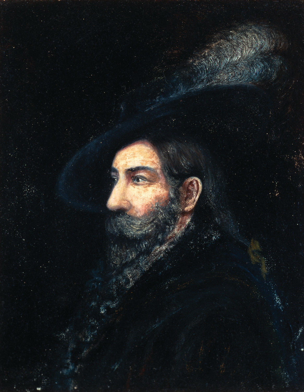 Painting
Primary source
Portrait of Juan Bautista de Anza
Fray Orci · 1774
 Diary entry
Primary source
Anza's Diary of the Second California Expedition
Juan Bautista de Anza · 1775–1776
 Artifact
Secondary source
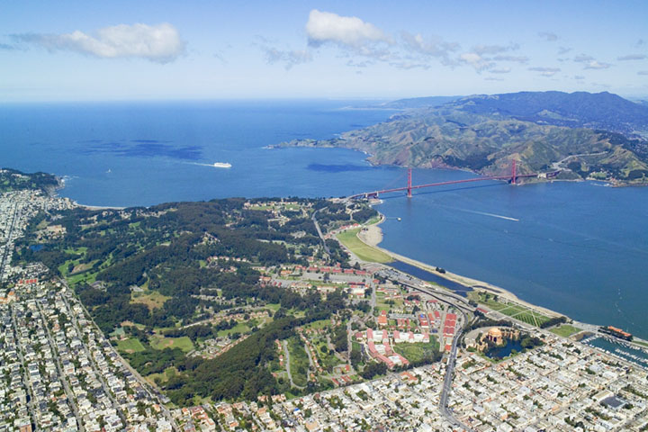
Presidio of San Francisco
1776
 Document
Primary source
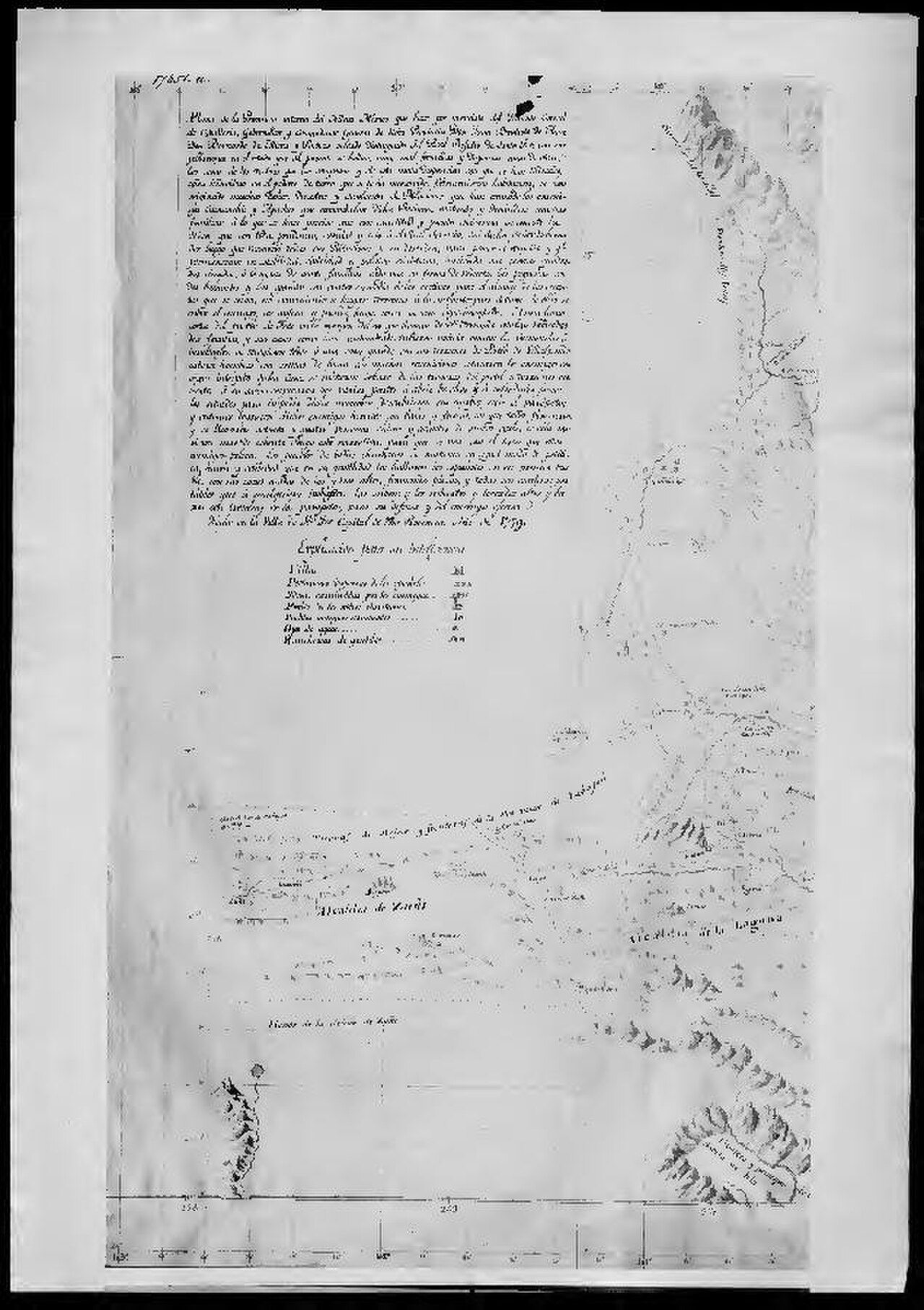
Map of New Mexico by Bernardo de Miera y Pacheco
Bernardo de Miera y Pacheco · 1779
 Artifact
Secondary source
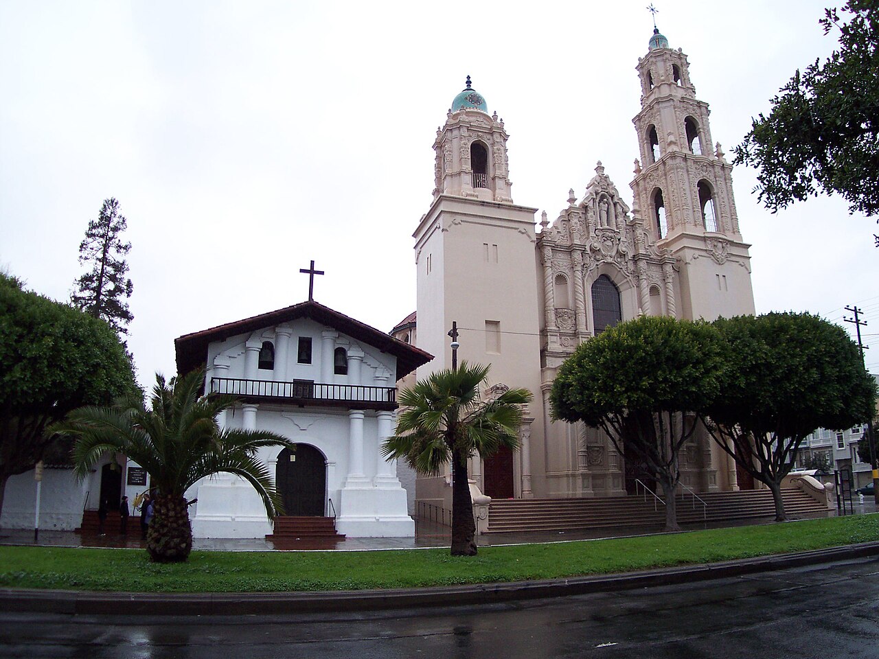
Mission San Francisco de Asís
1776
Ready when you are
Start chatting with Juan Bautista de Anza now.
20 messages free · No credit card · Available in 50+ languages.