


Primary sourceDocument1895
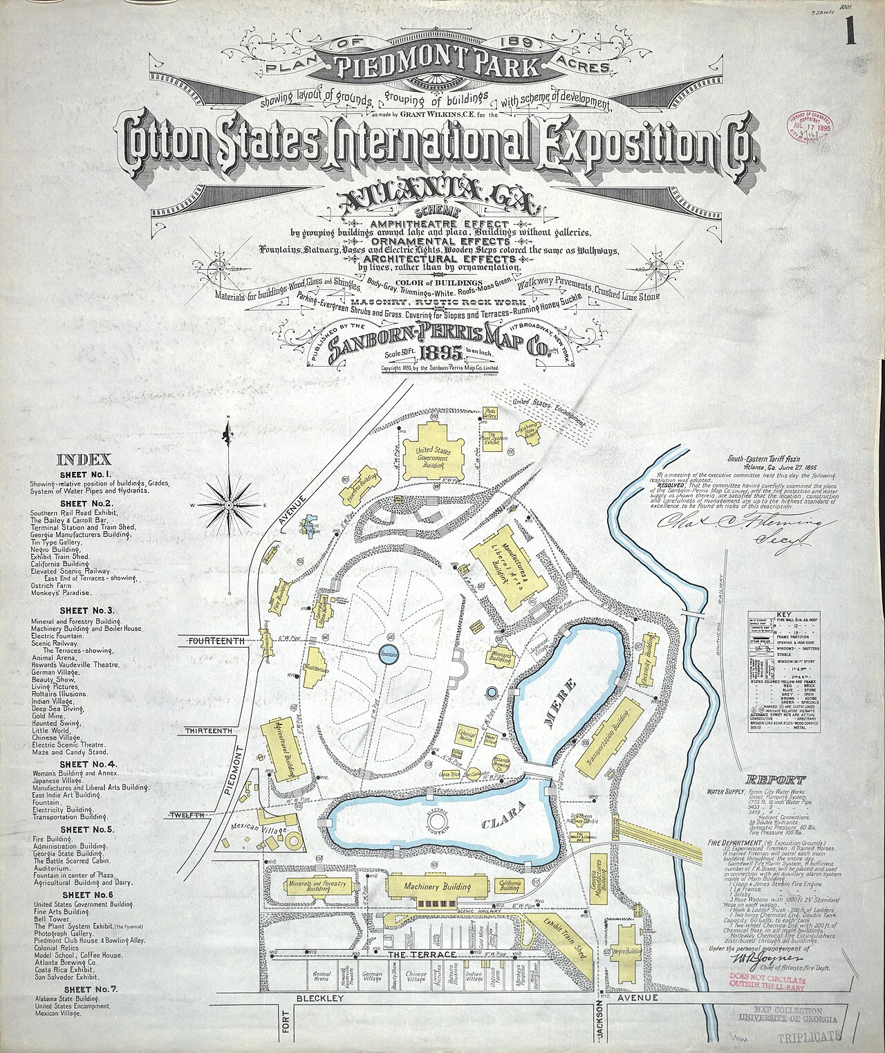
Sanborn-Perris map of the 1895 Cotton States Exposition grounds
Grant Wilkins · 1895
A printed fire-insurance style map of the grounds of the 1895 Cotton States and International Exposition in Atlanta. It shows the layout of buildings and the plan for Piedmont Park.
The map shows the 1895 Atlanta fair grounds, the setting of the city Grady lived in, though it does not depict him.
About this source
What it is
This is a map of the grounds for the 1895 Cotton States and International Exposition in Atlanta, Georgia. It was created by Grant Wilkins and published by the Sanborn-Perris Map Company Limited in 1895. The map was lithographically printed and hand colored with the aid of wax paper stencils. It shows the layout of the grounds, the grouping of buildings, and a scheme of development for Piedmont Park. The map is titled Plan of 189 Acres Piedmont Park and includes an index of sheets, a key, a report panel, and building outlines around a lake labeled Meer and a lagoon labeled Clara.
Why it matters
The map records how the fair was planned in 1895, the year of the exposition. Henry W. Grady, a journalist from Atlanta, is connected to the period and city in which the fair took place. The map does not show Grady himself or record his words, so it helps students understand the setting of his later public life rather than his own thoughts. Maps like this one were made to guide planning, so they show intended arrangements rather than everything that happened at the fair.
Look closer
- What does the key and index tell you about how this map was meant to be read?
- Why might a map made for planning and insurance-style records leave out people, events, and daily life at the fair?
- How does the hand coloring change the way the layout is presented, and who might have used this map?
This document is part of the curated material that grounds the AI version of Henry W. Grady on Humy.ai — when students ask about related events, the AI can quote it and cite it.
More Henry W. Grady sources
Browse all 53 →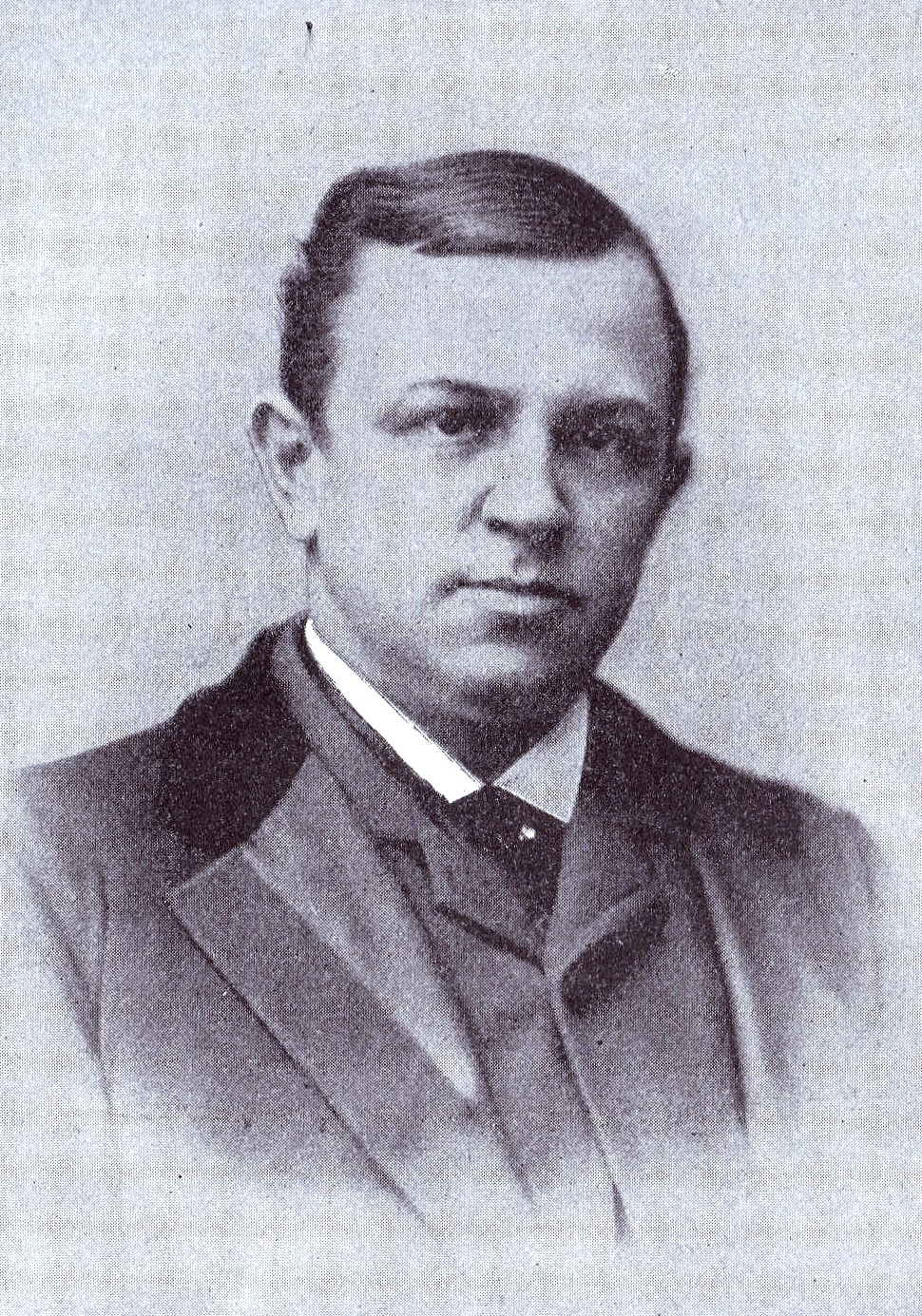 Photograph
Primary source
Portrait of Henry W. Grady
Primary source
The Freedman's Case in Equity
George Washington Cable · January 1885
 Sculpture
Secondary source
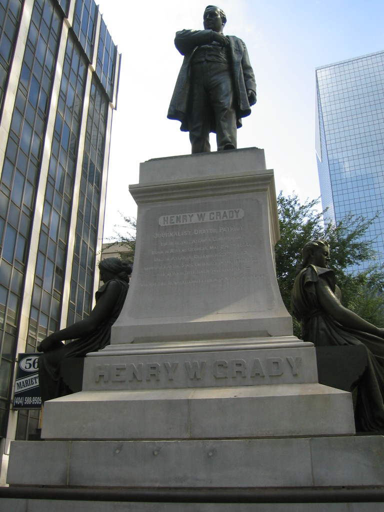
Statue of Henry W. Grady
Alexander Doyle · 1891
 Document
Primary source
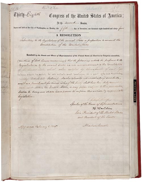
13th Amendment to the U.S. Constitution
1865
Free account
Read every Henry W. Grady source
Sign up free →
Ready when you are
Start chatting with Henry W. Grady now.
20 messages free · No credit card · Available in 50+ languages.