


Secondary sourceDocument1911
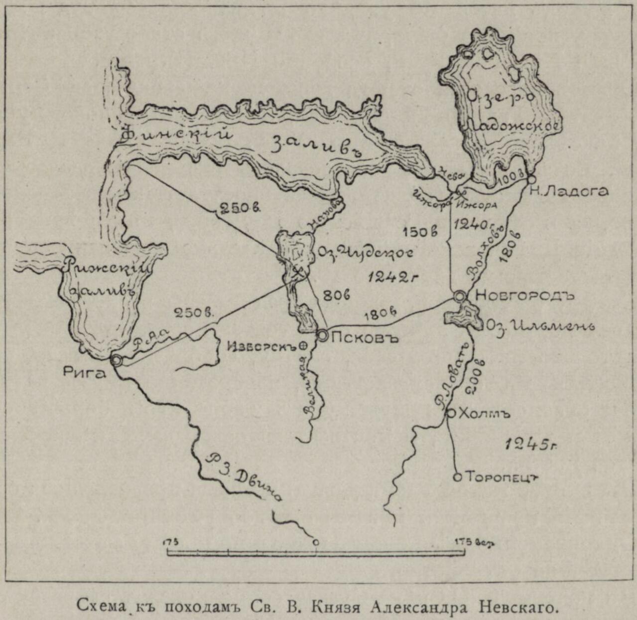
Scheme of the Campaigns of Prince Alexander Nevsky
1911
A 1911 historical map tracing the military campaigns and routes of Alexander Nevsky, used to study his battles.
This map charts the routes and years of Nevsky's military campaigns, helping to study his role as a military leader.
About this source
What it is
This is a black-and-white map made in 1911, titled 'Scheme of the campaigns of Saint Grand Prince Alexander Nevsky' in Russian. It shows the region around the Gulf of Finland, Lake Ladoga, Lake Peipus, Lake Ilmen, and towns including Riga, Pskov, Novgorod, Holm, and Toropets, with marked routes, distances, and the years 1242 and 1245.
Why it matters
Maps like this were made long after Nevsky's lifetime to help historians and students understand where and how his military campaigns took place. The years 1242 and 1245 point to key moments in his career as a military leader defending Rus' territories. This source shows how historians reconstruct historical events using geography.
Look closer
- What do the marked routes and distances tell you about the scale of Nevsky's campaigns?
- Why might historians in 1911 have wanted to create a detailed map like this?
- What information might be missing from a map that a written account could provide instead?
This document is part of the curated material that grounds the AI version of Alexander Nevsky on Humy.ai — when students ask about related events, the AI can quote it and cite it.
More Alexander Nevsky sources
Browse all 93 →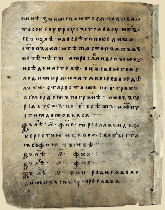 Document
Primary source
Novgorod First Chronicle
13th century (covering events from 1016)
 Document
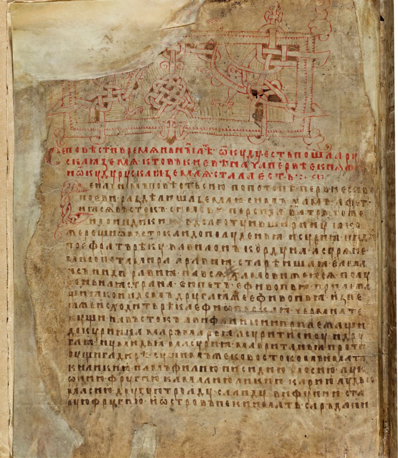
Secondary source
Laurentian Codex
Laurentius · 1377
 Artifact
Primary source
Seal of Alexander Nevsky
13th century
 Artifact
Primary source
Helmet of Yaroslav Vsevolodovich
Rus' armourers · early 13th century
Free account
Read every Alexander Nevsky source
Sign up free →
Ready when you are
Start chatting with Alexander Nevsky now.
20 messages free · No credit card · Available in 50+ languages.