


Secondary sourceDocument11 November 2016
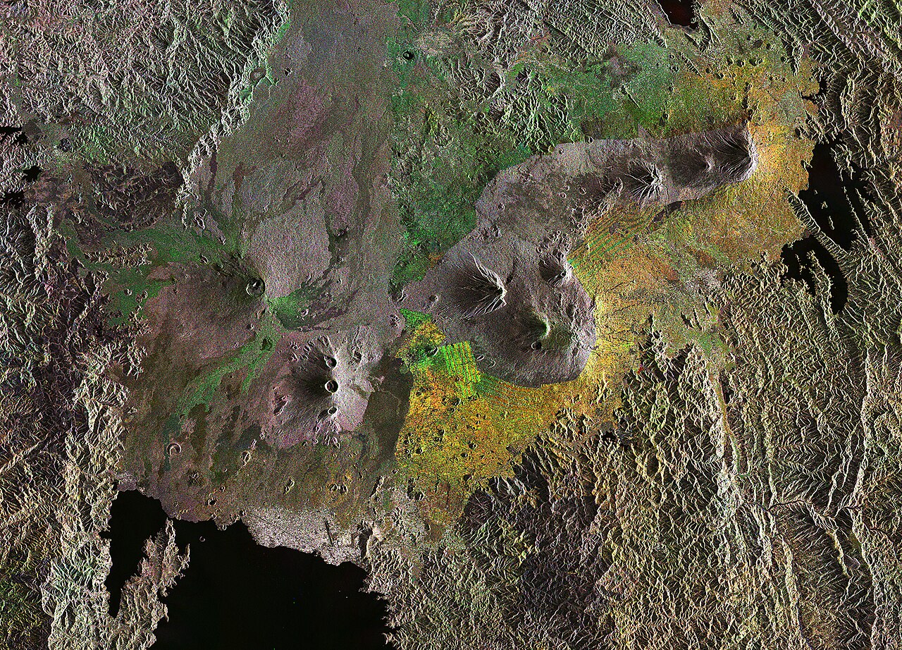
Sentinel-1 radar composite of the Virunga Mountains, 2016
European Space Agency · 11 November 2016
A satellite radar image of the Virunga volcano chain in East Africa, the region where Dian Fossey conducted her mountain gorilla research.
Satellite map of the Virunga volcano region, showing the geography and conservation pressures around Fossey's research site.
About this source
What it is
A colourised radar composite image made by the European Space Agency in 2016 using Sentinel-1 satellite data, showing the Virunga Mountains, a chain of volcanoes on the border of Rwanda, Uganda and the Democratic Republic of the Congo.
Why it matters
This image shows the Albertine Rift, one of Africa's most biodiverse regions, where two of the eight volcanoes are still active. It was in this landscape that Dian Fossey built her research camp and studied mountain gorillas for years. The image also reveals the pressure of agriculture and human activity around the protected national parks, illustrating the conservation challenges tied to her work.
Look closer
- What do the colour differences in the image tell you about changes on the land?
- Why might scientists use radar rather than ordinary photography to study this region?
- How does this image connect to the conservation efforts Fossey was part of?
This document is part of the curated material that grounds the AI version of Dian Fossey on Humy.ai — when students ask about related events, the AI can quote it and cite it.
More Dian Fossey sources
Browse all 23 →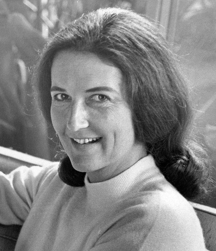 Photograph
Primary source
Portrait of Dian Fossey
1968
 Artifact
Secondary source
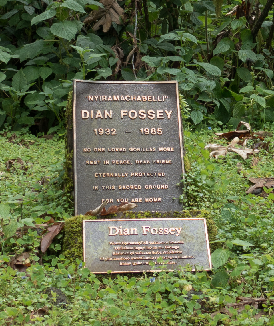
Grave of Dian Fossey
 Newspaper article
Primary source
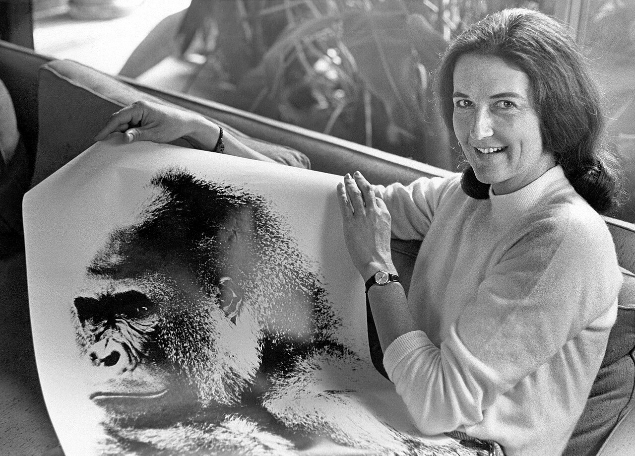
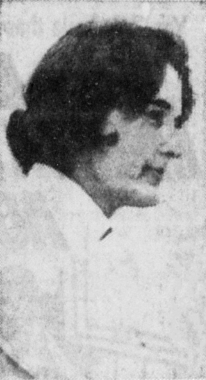
Dian Fossey Redwood City Tribune Photograph
31 October 1968
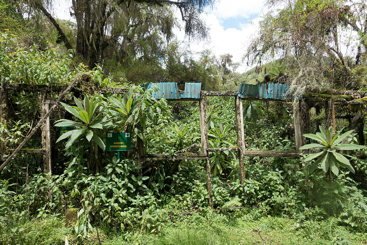 Artifact
Primary source
Karisoke Research Center
Dian Fossey · 1967

Free account
Read every Dian Fossey source
Sign up free →
Ready when you are
Start chatting with Dian Fossey now.
20 messages free · No credit card · Available in 50+ languages.