


Secondary sourceDocument1595
Septentrionalium Terrarum descriptio
Gerardus Mercator · 1595
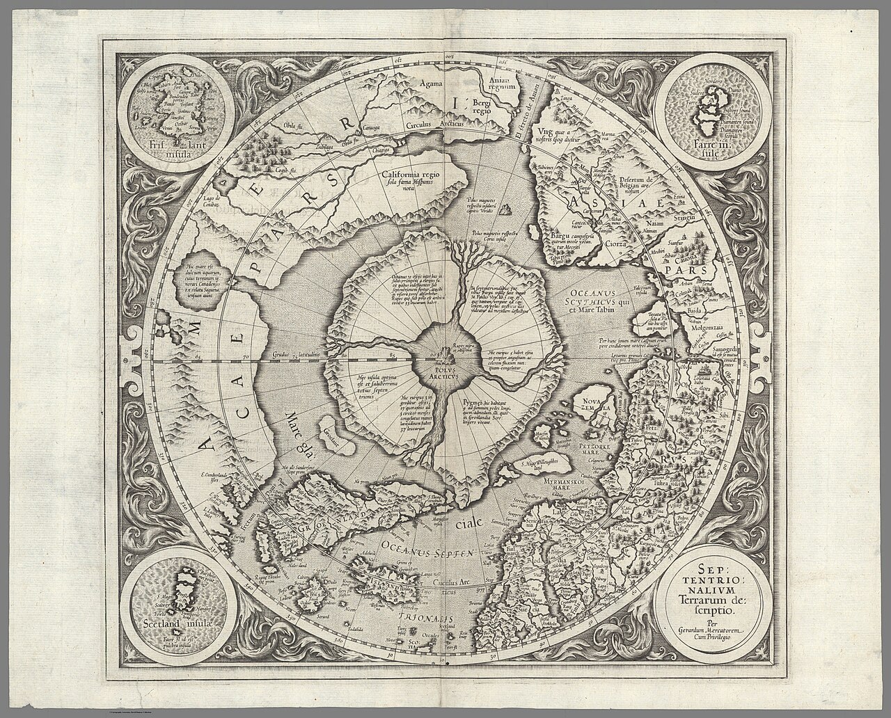
A 1595 engraved map of the North Polar region by Gerardus Mercator, the first separately published map of the Arctic. It shows the Arctic geography Hudson sought, though it does not name him.
It shows the Arctic geography that Hudson sought on his northern voyages, but the map does not name him.
About this source
What it is
This is an engraved map titled Septentrionalium Terrarum descriptio by Gerardus Mercator. It is a circular map of the North Polar region, centered on a dark central island surrounded by rivers and mountains, with four inset circular cartouches, a decorative border, and Latin place labels. The record describes it as a rare first state, originally published in 1595 in the posthumous part III of Mercator's Atlas. The verso carries Latin text, titled Polus Arcticus Ac Terrarum Circumiacention descriptio. The image is a digital copy from the David Rumsey Map Collection.
Why it matters
Mercator is best known for his world projection, which distorts areas near the poles. This Arctic map was drawn from an inset on his 1569 world map and clarified a region that was distorted there. The map reflects the geographic theories of its time, including the belief that four rivers carried the world's oceans toward a whirlpool at the pole. Explorers such as Henry Hudson, who searched for northern passages, worked with maps like this one.
Look closer
- What does the map show at the center, and why would a mapmaker of this time draw it that way?
- How does this map differ from the way you picture the Arctic today?
- What does the map leave out, given that few European mapmakers had been to these regions?
This document is part of the curated material that grounds the AI version of Henry Hudson on Humy.ai — when students ask about related events, the AI can quote it and cite it.
More Henry Hudson sources
Meet the AI Henry Hudson → Diary entry
Primary source
Robert Juet's Journal of the Third Voyage of Henry Hudson
Robert Juet · 1609 (printed 1625)
 Document
Secondary source
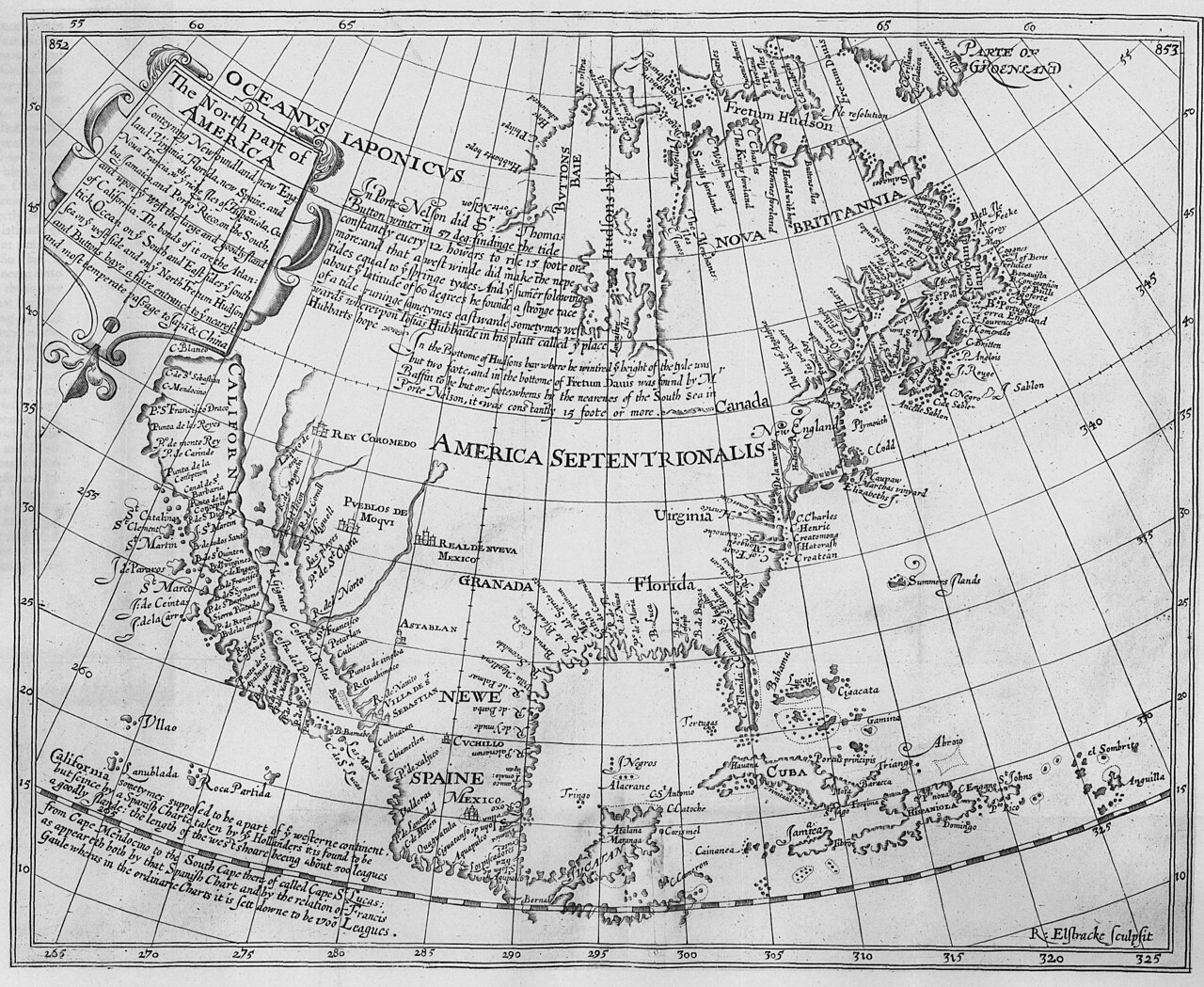
The North Part of America
Henry Briggs · 1625
Secondary source
Hakluytus Posthumus, or Purchas His Pilgrimes
Samuel Purchas · 1625
 Sculpture
Secondary source
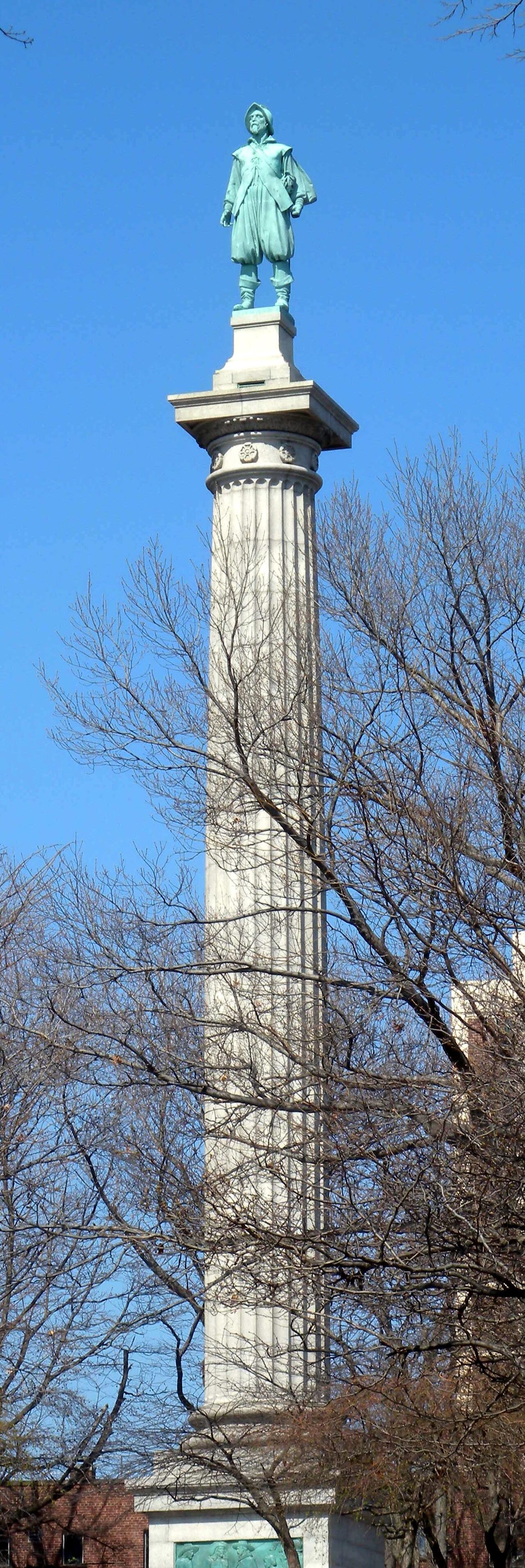
Henry Hudson Memorial (Henry Hudson Park monument)
Karl Gruppe (statue, from a model by Karl Bitter); Walter Cook (column design) · 1938
 Painting
Secondary source
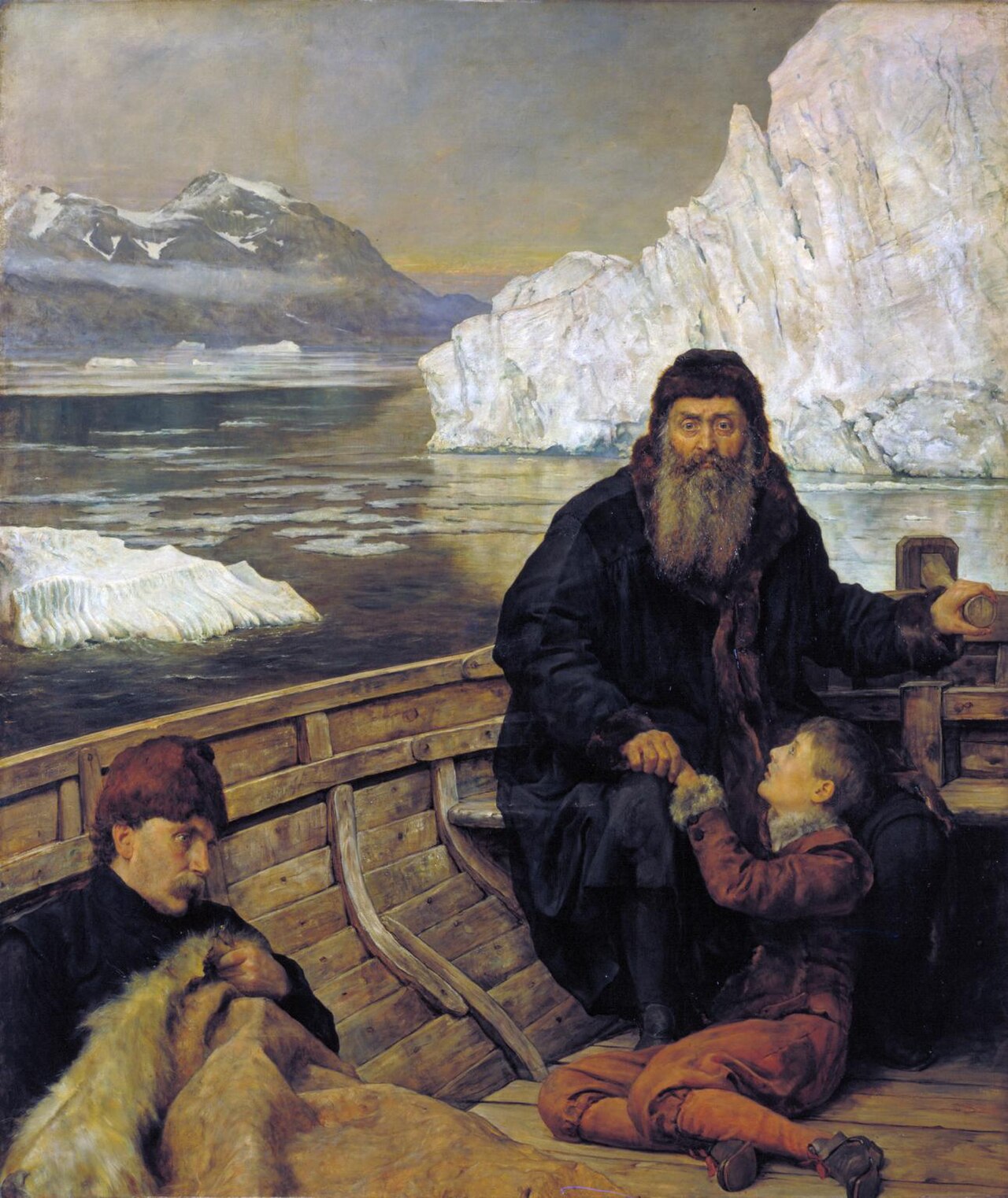
Last Voyage Of Henry Hudson
John Collier · 1881
Ready when you are
Start chatting with Henry Hudson now.
20 messages free · No credit card · Available in 50+ languages.