


Primary sourceDocument1759
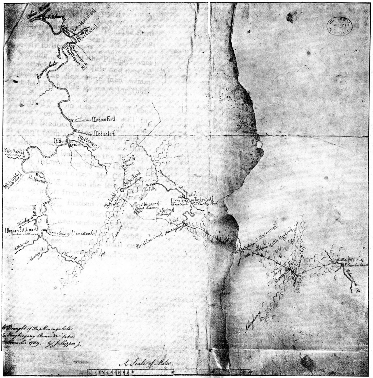
Shippen's Draught of the Monongahela and Youghiogheny Rivers
Shippen · 1759
A 1759 map of the Monongahela and Youghiogheny Rivers and Braddock's Road, drawn in the Ohio Country region Christopher Gist knew well.
A map of the Braddock Road country Gist knew well from his own travels, surveys, and guiding work in the region.
About this source
What it is
This is a map made in 1759 by Shippen, showing the Monongahela and Youghiogheny Rivers along with Braddock's Road, including the Great Crossing where Braddock's Road met Burd's Road. The original is held by the Pennsylvania Historical Society; this reproduction appears in a work by Archer Butler Hulbert.
Why it matters
Drawn during Christopher Gist's lifetime, the map depicts the exact river country and road network Gist traveled and helped survey as a guide and scout for British colonial expansion into the Ohio Valley. It reflects how colonists mapped and claimed contested frontier land during the period of conflict with France and Native nations.
Look closer
- What features did the mapmaker think were most important to mark: forts, fords, roads?
- How might this map have been used by travelers moving through the region?
- What is left off a map like this, and whose knowledge of the land might be missing?
This document is part of the curated material that grounds the AI version of Christopher Gist on Humy.ai — when students ask about related events, the AI can quote it and cite it.
More Christopher Gist sources
Meet the AI Christopher Gist →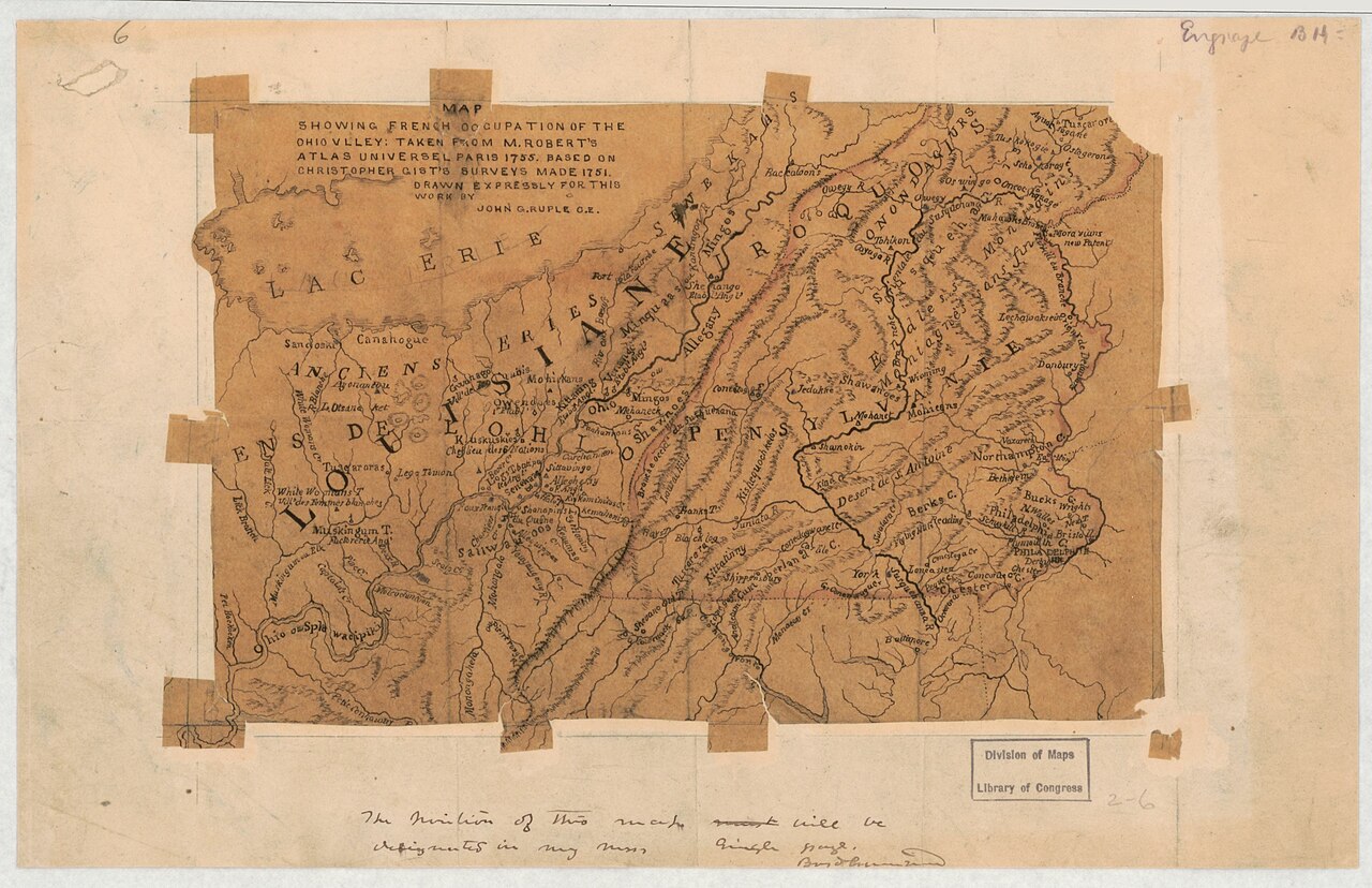 Document
Secondary source
Map Showing French Occupation of the Ohio Valley
John G. Ruple · 1755 (based on 1751 surveys)
Primary source
Journal of Captain William Trent from Logstown to Pickawillany, A.D. 1752
William Trent · 1752 (published 1871)
 Document
Primary source
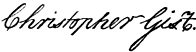
Signature of Christopher Gist
Christopher Gist
 Document
Primary source
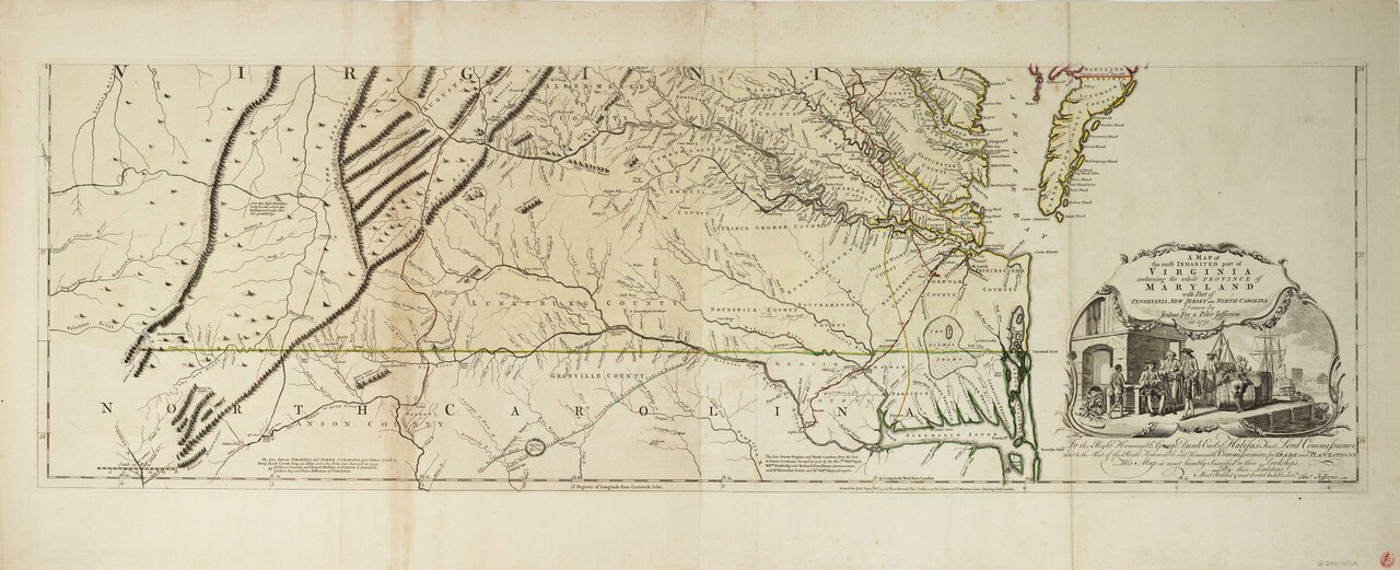
Fry-Jefferson Map of Virginia
Joshua Fry and Peter Jefferson · 1751 (revised 1755)
 Book
Secondary source
A Topographical Description of Such Parts of North America
Thomas Pownall · 1776
Ready when you are
Start chatting with Christopher Gist now.
20 messages free · No credit card · Available in 50+ languages.