


Primary sourceDocument1813
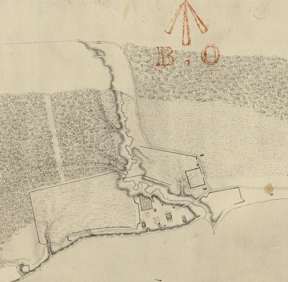
Sketch of Fort York and Garrison Creek, Upper Canada
George Williams · 1813
An 1813 sketch of Fort York and its surroundings, the ground where Zebulon Pike was killed during the Battle of York.
Shows Fort York, the site where Pike was mortally wounded in the 1813 explosion.
About this source
What it is
This 1813 ink and pencil sketch by George Williams shows Garrison Creek winding down to a shoreline, where a cluster of buildings and an enclosed fort-like area stand. Red lettering and a north arrow appear at the top of the drawing.
Why it matters
This is a direct record of the ground around Fort York during the War of 1812. It was here that American forces, including Zebulon Pike, attacked in 1813, and where Pike was mortally wounded in an explosion at the fort. The sketch helps show how the fort's location and layout shaped the fighting.
Look closer
- Why might the mapmaker have marked a north arrow and used red ink for certain details?
- What can the layout of buildings tell us about the fort's defenses?
- What would this sketch not be able to tell us about the actual battle?
This document is part of the curated material that grounds the AI version of Zebulon Pike on Humy.ai — when students ask about related events, the AI can quote it and cite it.
More Zebulon Pike sources
Meet the AI Zebulon Pike →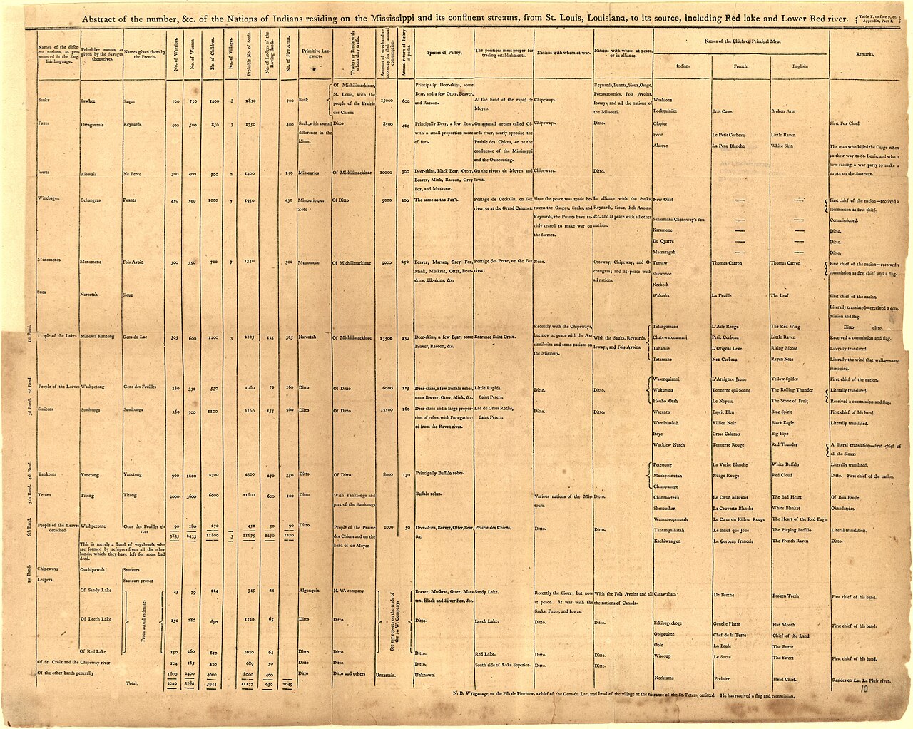 Book
Primary source
An Account of Expeditions to the Sources of the Mississippi, and through the Western Parts of Louisiana
Zebulon Montgomery Pike · 1810
 Artifact
Secondary source
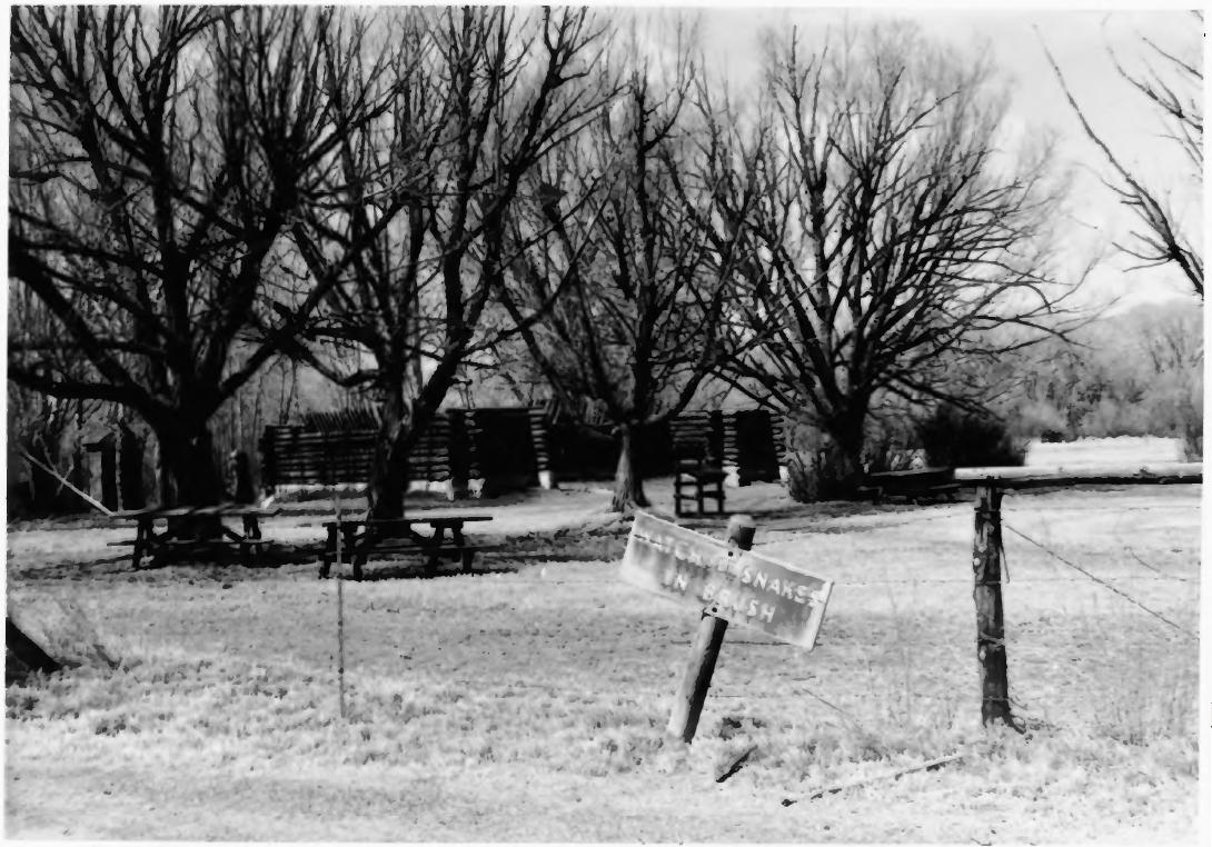
Pike's Stockade
Zebulon Pike's expedition · 1807 (reconstructed later)
 Painting
Primary source
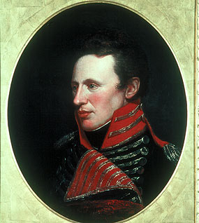
Portrait of Zebulon Pike
Charles Willson Peale
 Artifact
Primary source
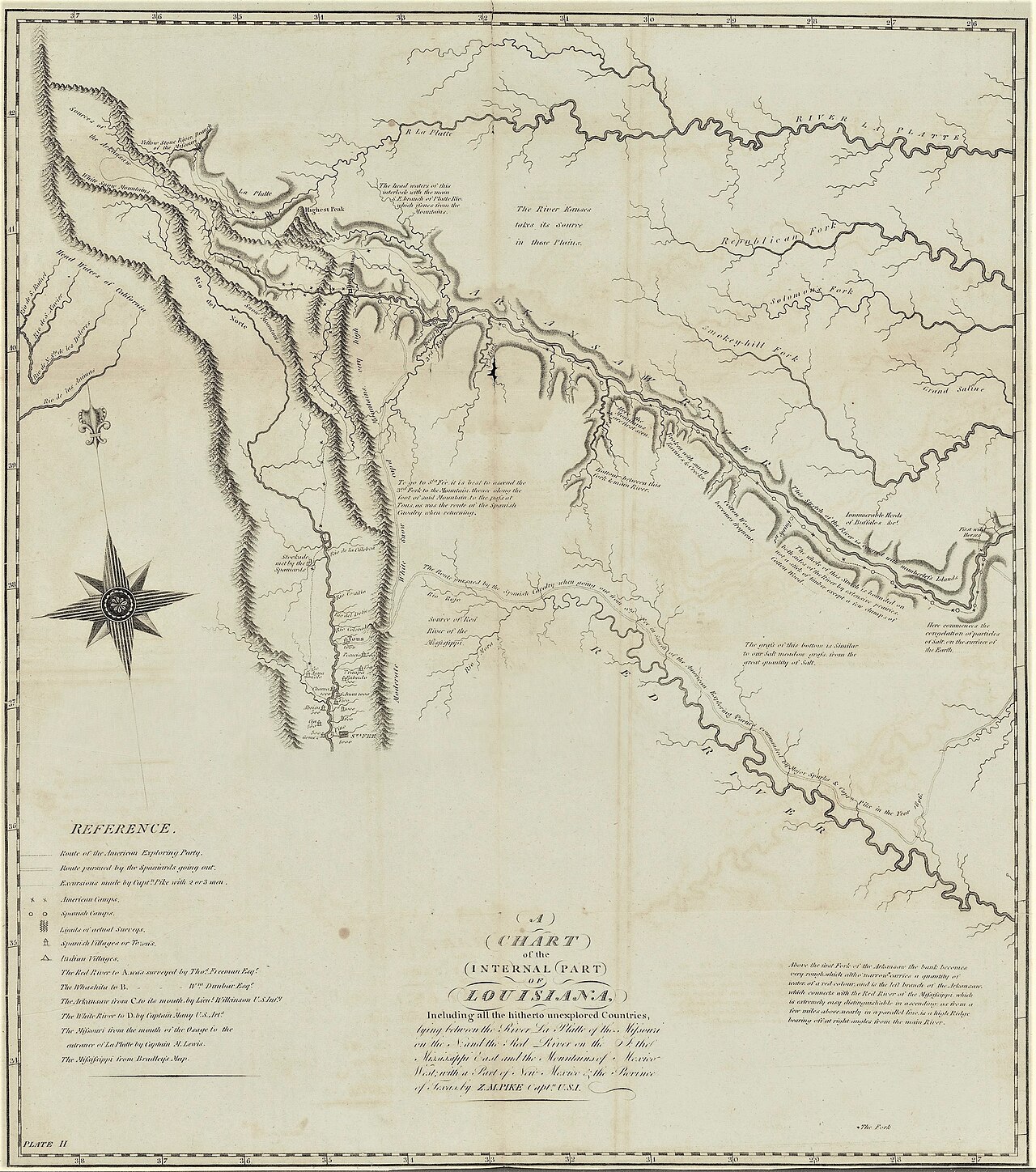
A Chart of the Internal Part of Louisiana
Zebulon Pike · 1810
 Artifact
Secondary source
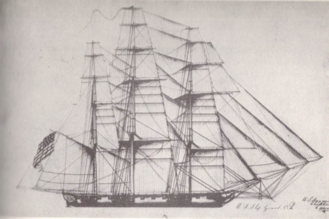
USS General Pike
Henry Eckford · 1813
Ready when you are
Start chatting with Zebulon Pike now.
20 messages free · No credit card · Available in 50+ languages.