


Primary sourceDocument
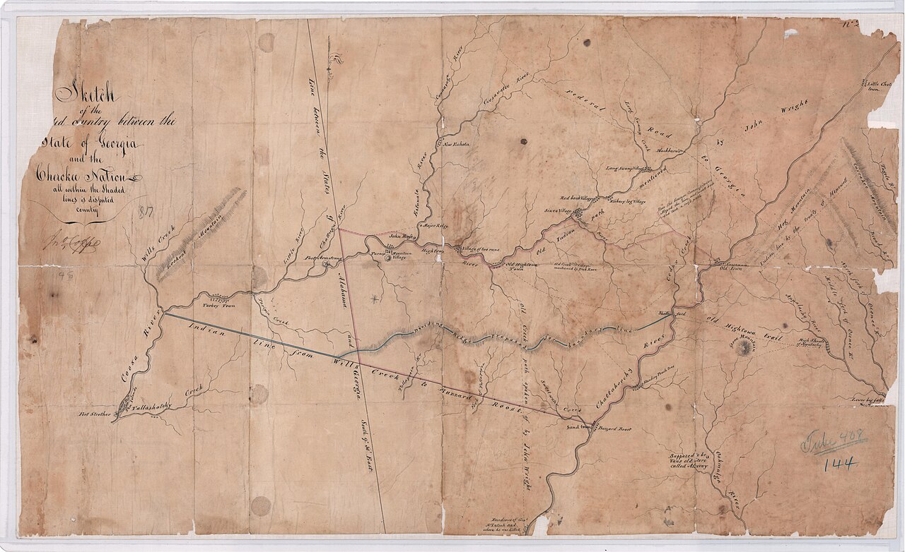
Sketch of the Ceded Country between the State of Georgia and the Chicka Nation
John Coffee
A hand-drawn manuscript map by John Coffee of the Alabama–Georgia frontier, showing Fort Armstrong and Fort Strother from the Creek War that launched Jackson's military career.
The map shows the terrain of the Creek War, the campaign in which Jackson rose to military prominence.
About this source
What it is
This is a hand-drawn manuscript map made by John Coffee, showing what is now northeast Alabama and northwest Georgia. It marks Fort Armstrong, Fort Strother, Cherokee towns and other landmarks in brown ink, with a boundary line drawn in blue and red.
Why it matters
The map records the terrain of the Creek War, the campaign that first made Andrew Jackson famous as a military commander. Forts like Strother and Armstrong were key bases during that fighting. Maps such as this show how officers like Coffee planned movement through unfamiliar land, including territory belonging to Cherokee and Creek peoples.
Look closer
- What kinds of features did the mapmaker choose to include, and what might that tell you about his purpose?
- Whose land is being mapped, and whose names or towns are shown or left out?
- How might a map like this have been used by soldiers at the time?
This document is part of the curated material that grounds the AI version of Andrew Jackson on Humy.ai — when students ask about related events, the AI can quote it and cite it.
More Andrew Jackson sources
Meet the AI Andrew Jackson →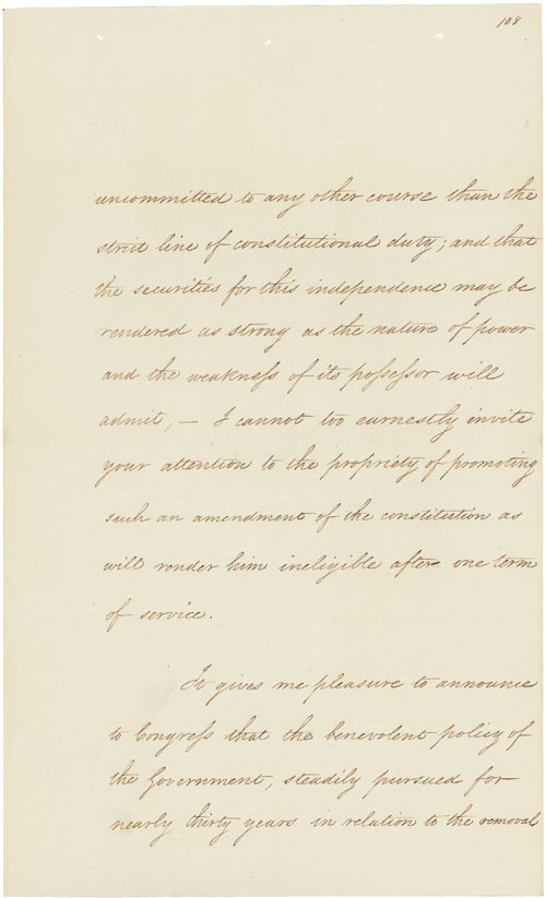 Speech
Primary source
Message to Congress On Indian Removal
Andrew Jackson · 6 December 1830
 Painting
Primary source
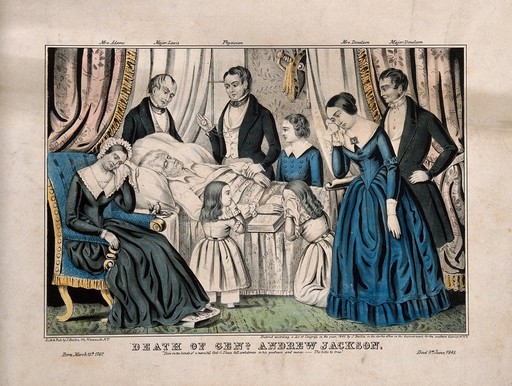
Death of General Andrew Jackson
1845
 Painting
Primary source
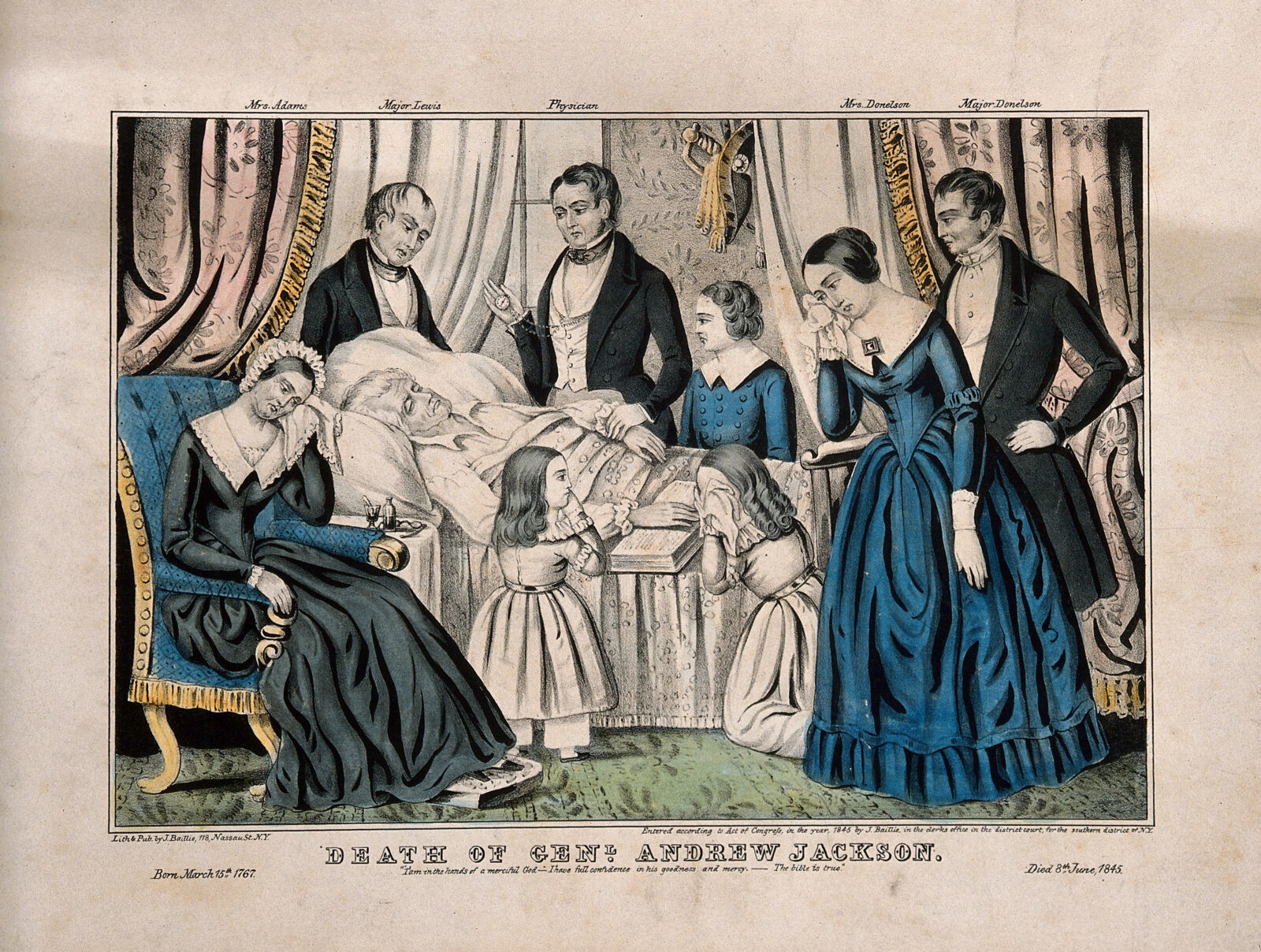
The Death of President Andrew Jackson
1845
Primary source
Indian Removal Act
United States Congress · 28 May 1830
 Photograph
Secondary source
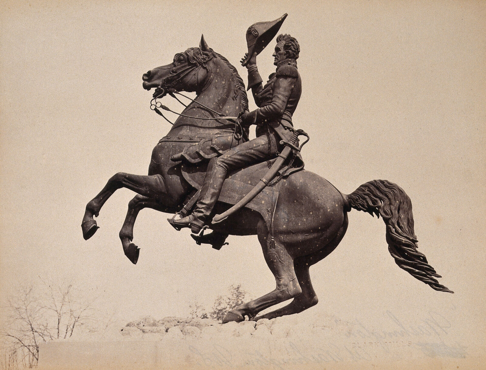
Photograph of the Andrew Jackson Equestrian Statue, Lafayette Park
Clark Mills · c. 1880
Ready when you are
Start chatting with Andrew Jackson now.
20 messages free · No credit card · Available in 50+ languages.