


Primary sourceArtifact1799
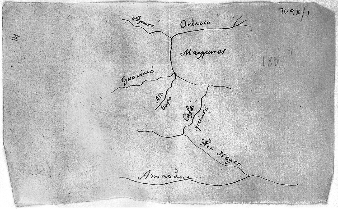
Sketch of the Orinoco-Casiquiare-Amazon River System
Alexander von Humboldt · 1799
Humboldt's own 1799 hand-drawn map of the river system he surveyed in South America, linking the Orinoco and Amazon basins.
Humboldt drew this map himself while surveying the river system during his South American expedition.
About this source
What it is
This is a handwritten pen sketch made by Alexander von Humboldt in 1799, showing the river network connecting the Orinoco, Casiquiare and Amazon rivers. It labels key waterways such as the Apure, Guaviare, Atabapo, Casiquiare, Rio Negro and Amazon.
Why it matters
This sketch documents one of Humboldt's most important geographical discoveries: proof that the Casiquiare channel naturally links the Orinoco and Amazon river systems, something many Europeans had doubted. It reflects his method of direct, firsthand observation and surveying during his American expedition.
Look closer
- What does the handwriting and labeling tell you about how Humboldt worked in the field?
- Why would proving a connection between two river systems matter to geographers of his time?
- What tools might Humboldt have used to make this sketch while traveling?
This artifact is part of the curated material that grounds the AI version of Alexander von Humboldt on Humy.ai — when students ask about related events, the AI can quote it and cite it.
More Alexander von Humboldt sources
Browse all 93 →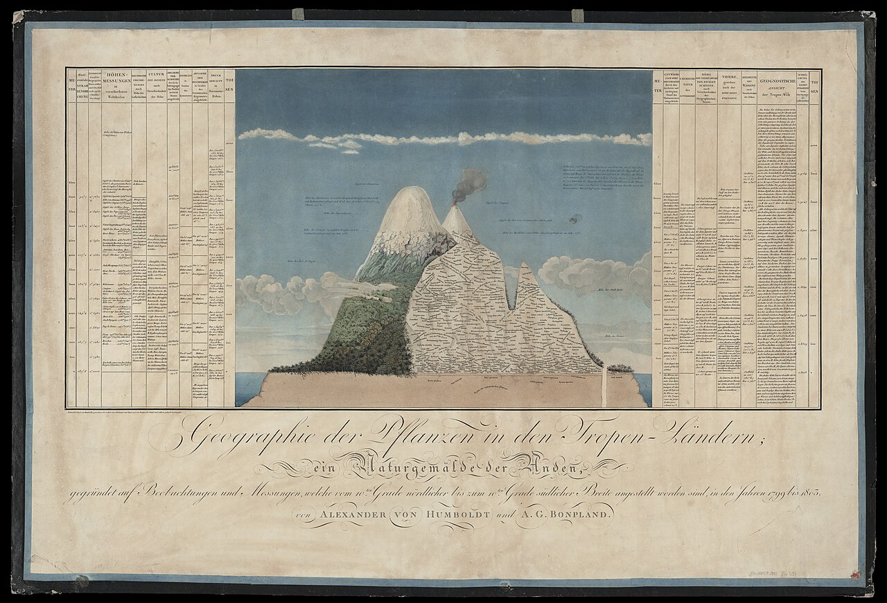 Artifact
Primary source
Naturgemälde der Anden
Alexander von Humboldt · 1805
 Book
Primary source
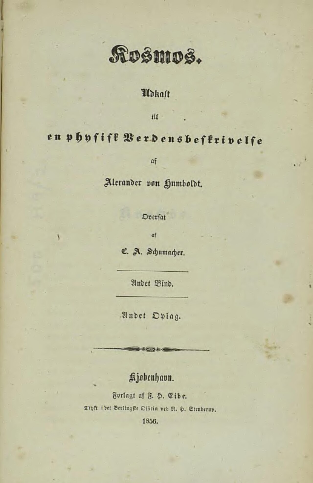
Cosmos
Alexander von Humboldt · 1845
 Painting
Primary source
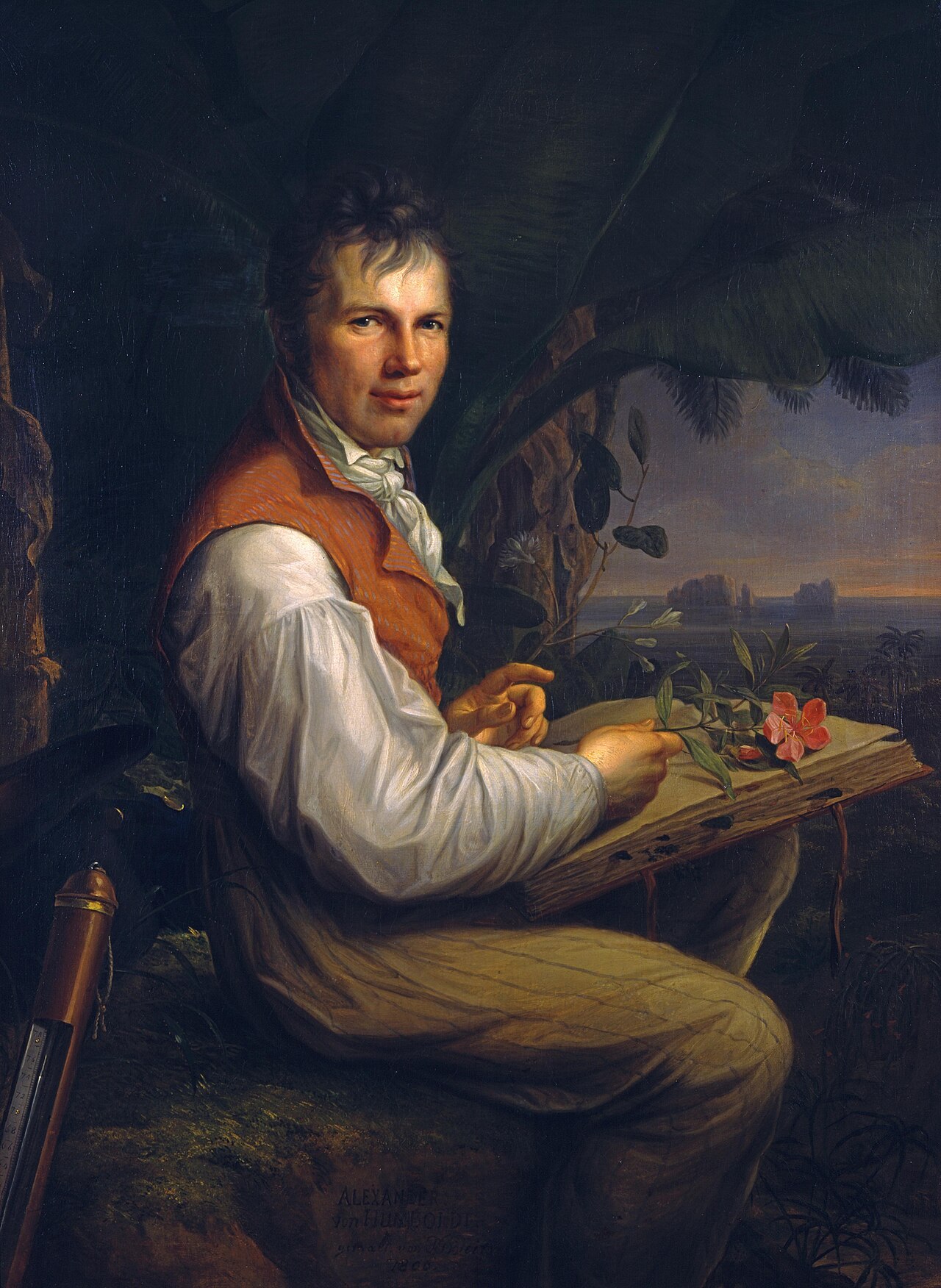
Portrait of Alexander von Humboldt
Friedrich Georg Weitsch · 1806
 Photograph
Primary source
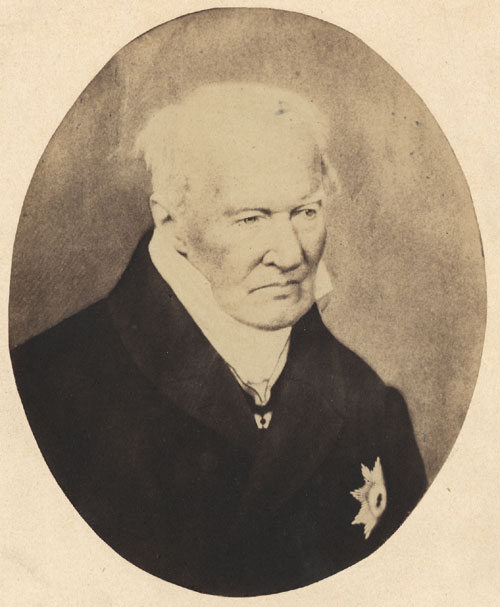
Alexander von Humboldt photo 1857
Verlag von L. Haase & Co. · 1857
Free account
Read every Alexander von Humboldt source
Sign up free →
Ready when you are
Start chatting with Alexander von Humboldt now.
20 messages free · No credit card · Available in 50+ languages.