


Primary sourceDocument1813
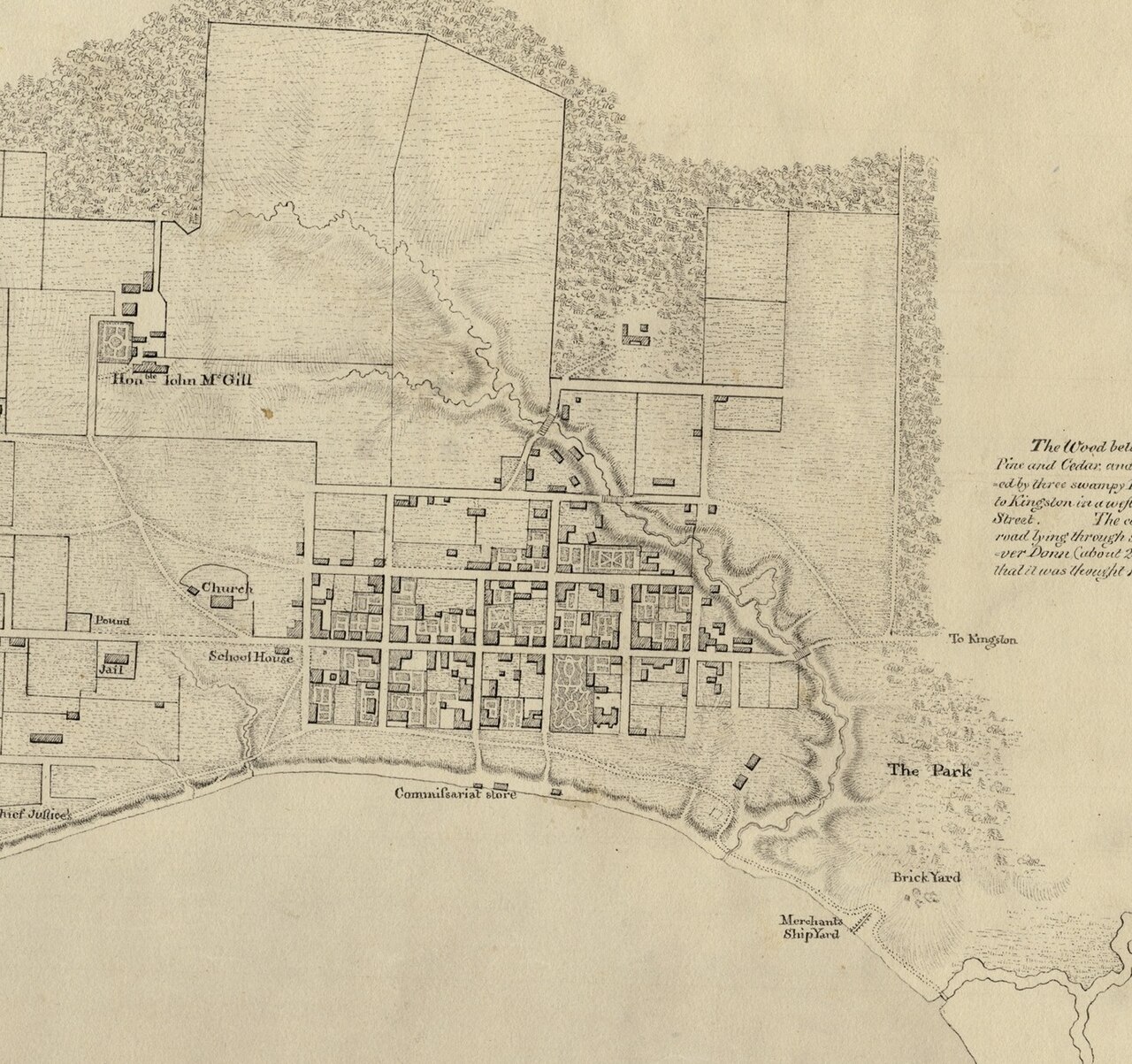
Sketch of York and Taddle Creek, Upper Canada
George Williams · 1813
An 1813 hand-drawn map of York, Upper Canada, labeling key buildings on the site of the battle in which Zebulon Pike was killed.
Maps the town of York, site of the battle where Pike was fatally wounded in 1813.
About this source
What it is
This 1813 ink map by George Williams shows the town of York, Upper Canada, with a grid of buildings along the shoreline and the winding Taddle Creek. It labels sites such as the Church, School House, Jail, Commissariat store, Brick Yard, Merchants Shipyard, and The Park.
Why it matters
The map documents the town as it stood during the War of 1812, around the time of the Battle of York, where American officer Zebulon Pike died. Detailed labeling of civic and military buildings shows how closely town life and military planning were connected in this period.
Look closer
- Why might a mapmaker label civilian buildings like the jail and school house on a military sketch?
- What does the level of detail suggest about who the map was meant for?
- What is missing from the map that might help us understand the battle itself?
This document is part of the curated material that grounds the AI version of Zebulon Pike on Humy.ai — when students ask about related events, the AI can quote it and cite it.
More Zebulon Pike sources
Meet the AI Zebulon Pike →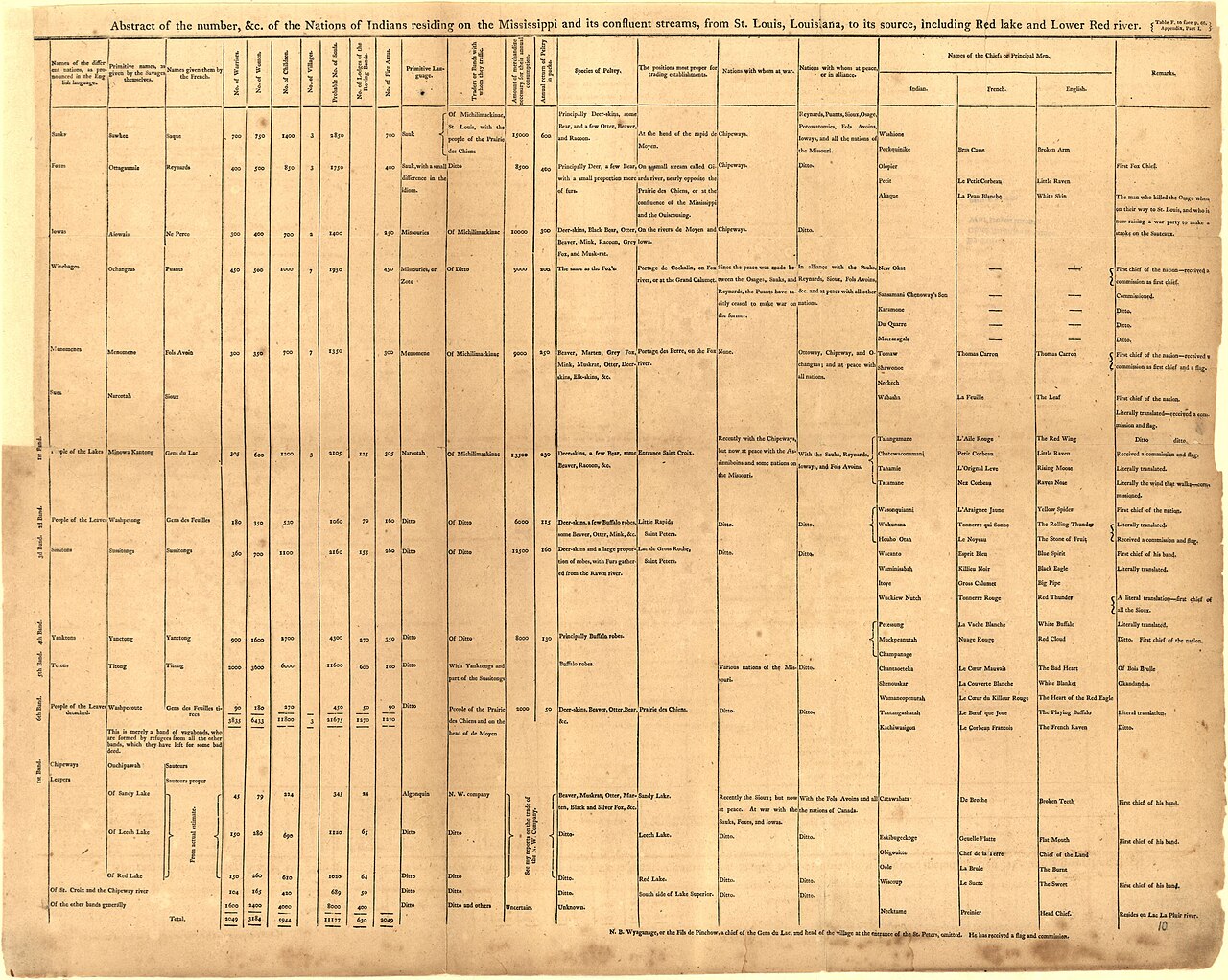 Book
Primary source
An Account of Expeditions to the Sources of the Mississippi, and through the Western Parts of Louisiana
Zebulon Montgomery Pike · 1810
 Artifact
Secondary source
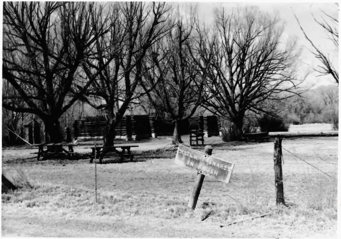
Pike's Stockade
Zebulon Pike's expedition · 1807 (reconstructed later)
 Painting
Primary source
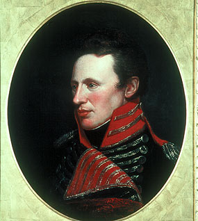
Portrait of Zebulon Pike
Charles Willson Peale
 Artifact
Primary source
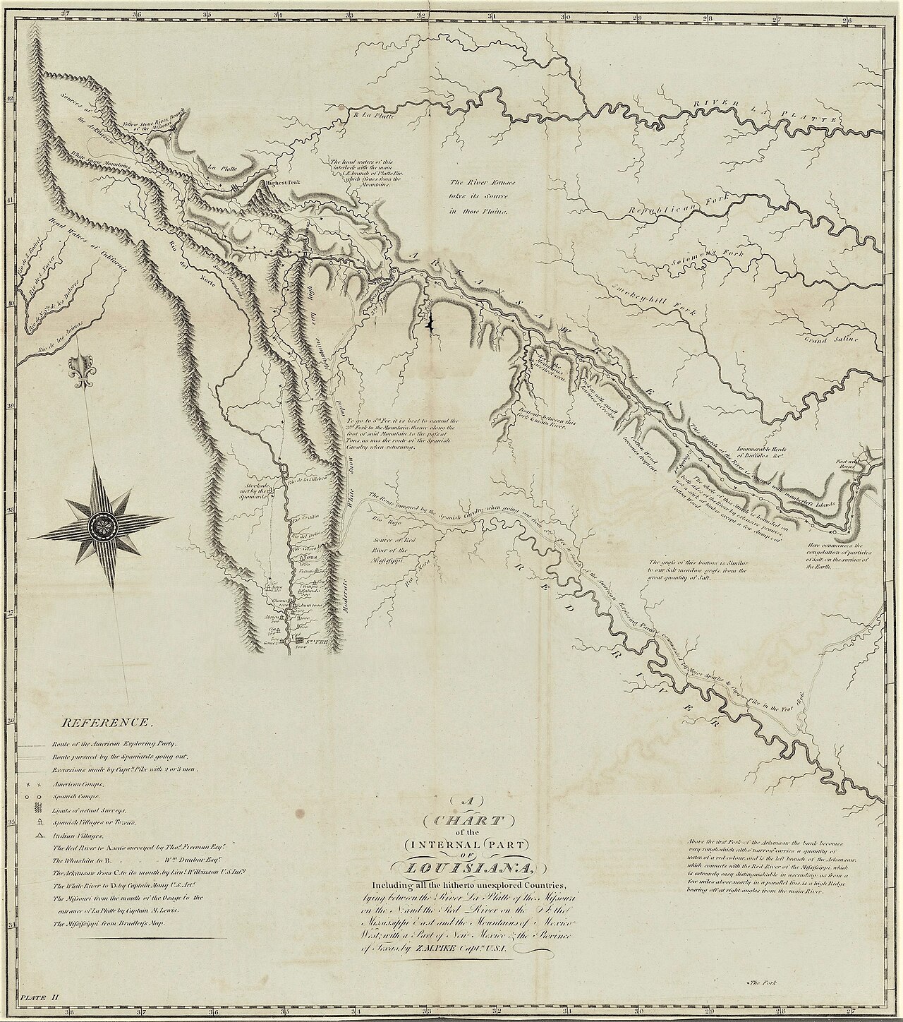
A Chart of the Internal Part of Louisiana
Zebulon Pike · 1810
 Artifact
Secondary source
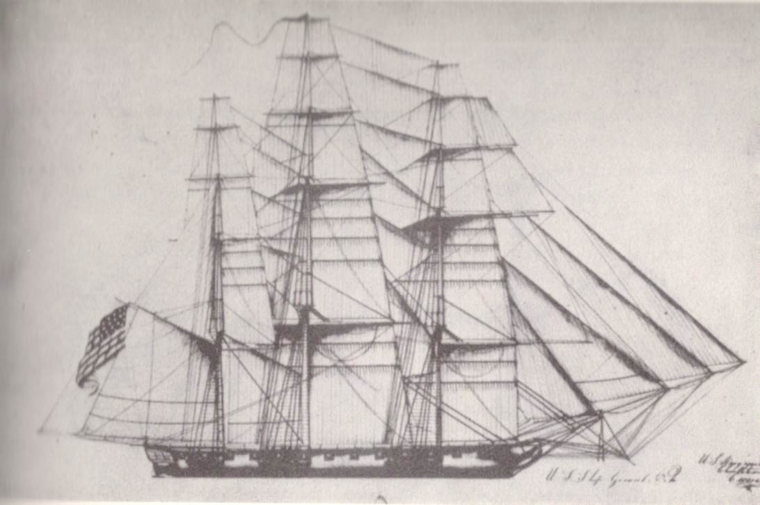
USS General Pike
Henry Eckford · 1813
Ready when you are
Start chatting with Zebulon Pike now.
20 messages free · No credit card · Available in 50+ languages.