


Secondary sourcePhotograph8 September 2012
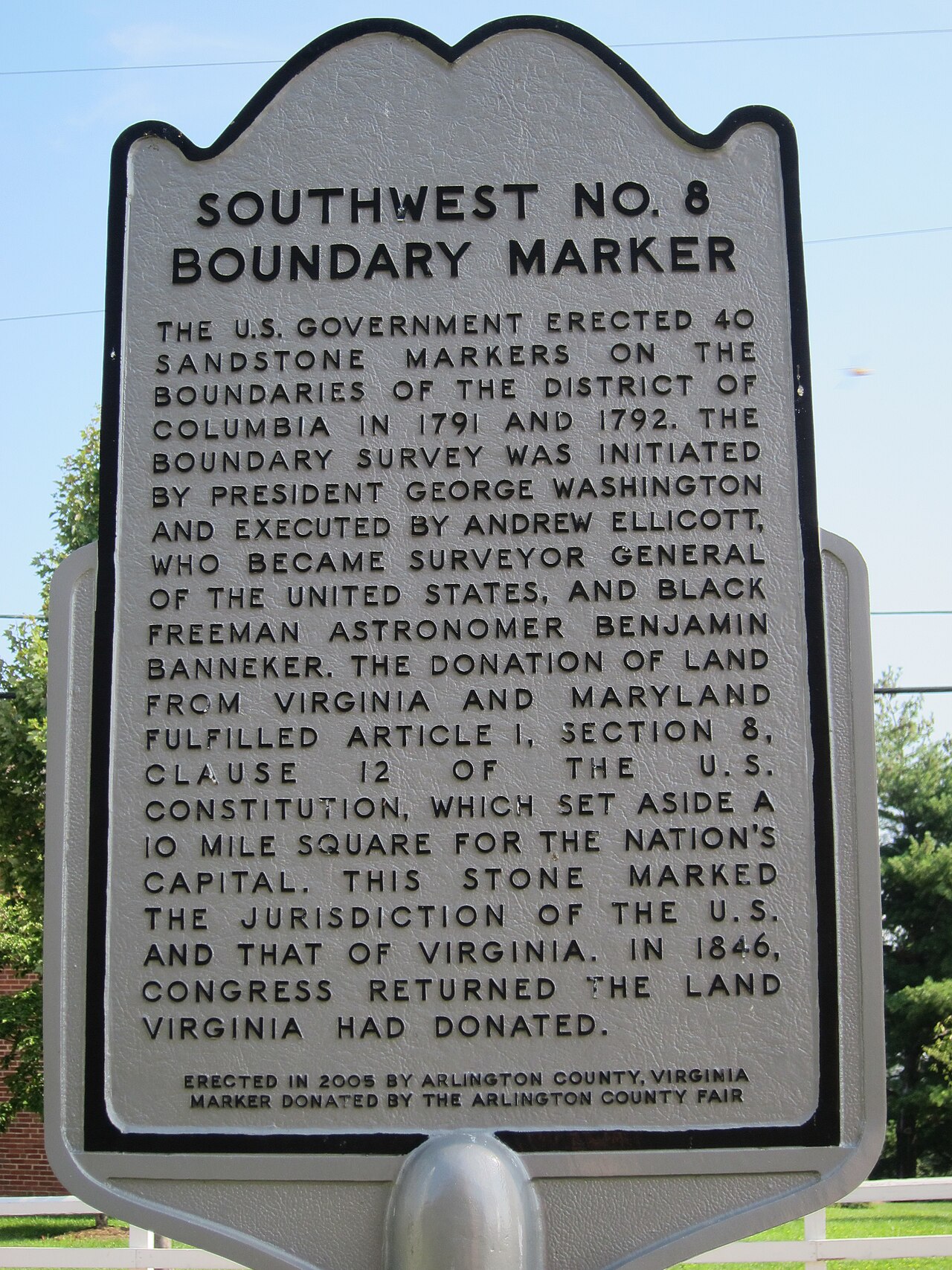
Southwest Boundary Stone No. 8, Original District of Columbia
Euclid 27 · 8 September 2012
A modern photograph of a historic marker describing one of the original boundary stones set during the 1791-92 survey Banneker helped establish.
Shows a surviving marker from the DC boundary survey that Banneker helped establish through his astronomical work.
About this source
What it is
This is a photograph, taken in 2012, of a metal historical marker describing Southwest Boundary Stone No. 8, one of the original sandstone markers placed between 1791 and 1792 to outline the District of Columbia.
Why it matters
The boundary stones mark the physical outcome of the survey led by Andrew Ellicott, which Benjamin Banneker assisted. They are a lasting, tangible trace of early scientific and surveying work that shaped the nation's capital.
Look closer
- Why might a boundary marker from the 1790s still need explanation today?
- What does the marker's survival tell us about how history is preserved?
- What is missing from this marker about who actually carried out the survey?
This photograph is part of the curated material that grounds the AI version of Benjamin Banneker on Humy.ai — when students ask about related events, the AI can quote it and cite it.
More Benjamin Banneker sources
Meet the AI Benjamin Banneker →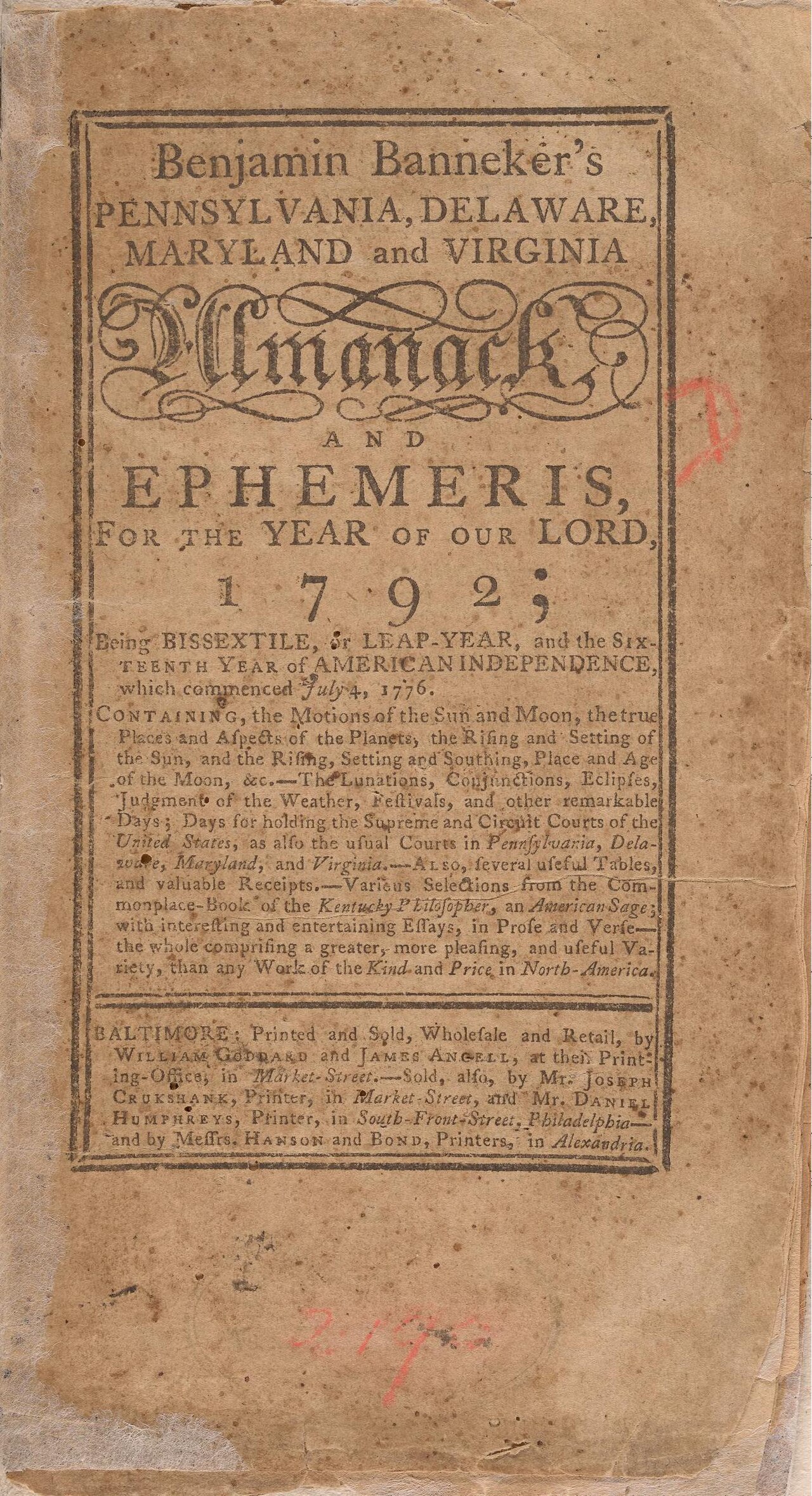 Book
Primary source
Benjamin Banneker's Pennsylvania, Delaware, Maryland and Virginia Almanack and Ephemeris for 1792
Benjamin Banneker · 1791
 Painting
Primary source
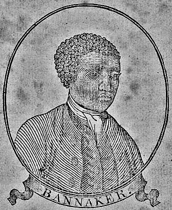
Benjamin Banneker woodcut, age 64
Unknown · 1795
Secondary source
De la littérature des Nègres
Henri Grégoire · 1808
 Artifact
Primary source
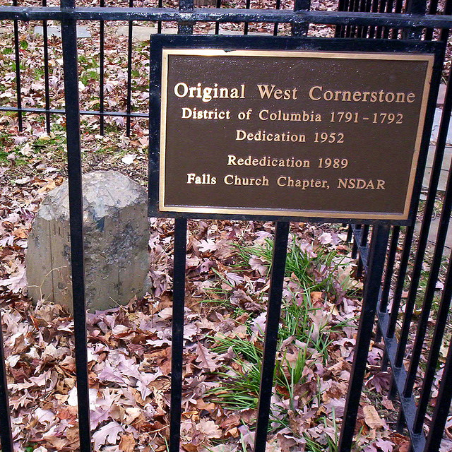
Boundary Stones of the original District of Columbia
Andrew Ellicott's survey team · 1791–1792
Primary source
The Talented Tenth
W. E. B. Du Bois · 1903
Ready when you are
Start chatting with Benjamin Banneker now.
20 messages free · No credit card · Available in 50+ languages.