


Primary sourceDocument1791
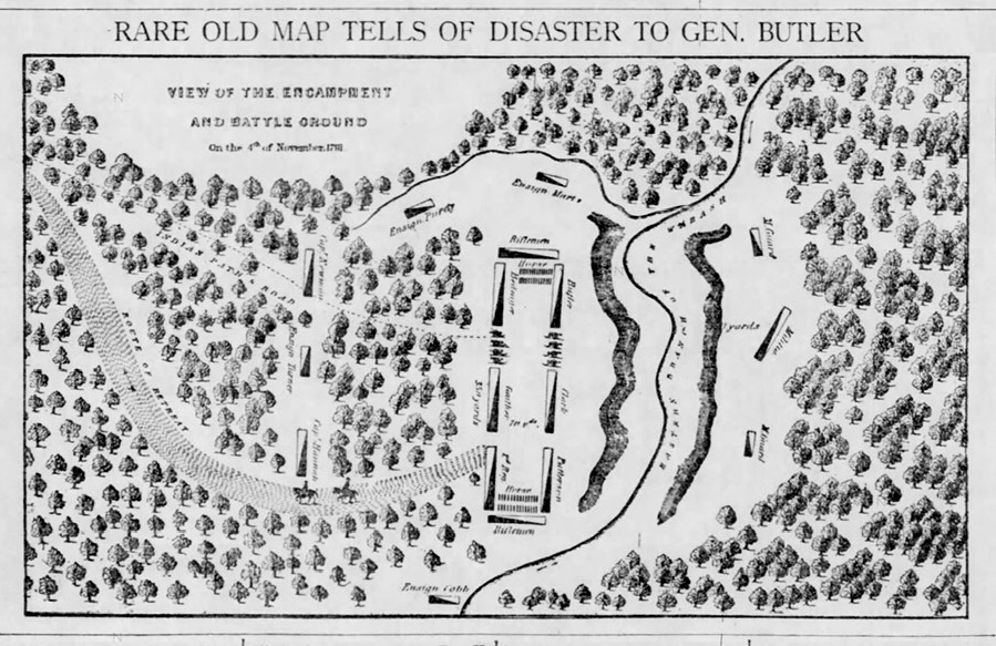
St. Clair's Defeat Map of Encampment and Battle Ground
Ebenezer Denny · 1791
A 1791 map by Major Ebenezer Denny showing the camp and battlefield where St. Clair's army was defeated.
A firsthand map of the battle where St. Clair commanded the defeated American army, drawn by an officer who served under him.
About this source
What it is
This is a map drawn in 1791 by Major Ebenezer Denny, an officer who served in the campaign commanded by Arthur St. Clair. It shows the encampment and battle ground from the fighting of 4 November 1791, with the terrain, river, troop lines, and cannon positions marked. The image available today is a newspaper reproduction of the original map.
Why it matters
This battle, known as St. Clair's Defeat, was one of the worst losses the United States Army ever suffered against Native American forces. Because Denny was present, his map is a firsthand record of the ground and the disaster that unfolded on it, directly tied to St. Clair's command.
Look closer
- What details did Denny choose to mark, and what might they tell us about what mattered to him as a soldier?
- How might a map drawn by a participant differ from one drawn later by someone who wasn't there?
- What does the map leave out about the people and experiences of that day?
This document is part of the curated material that grounds the AI version of Arthur St. Clair on Humy.ai — when students ask about related events, the AI can quote it and cite it.
More Arthur St. Clair sources
Browse all 68 →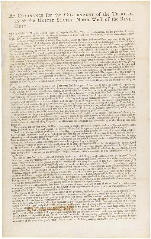 Document
Primary source
Northwest Ordinance
Confederation Congress · 13 July 1787
 Document
Primary source
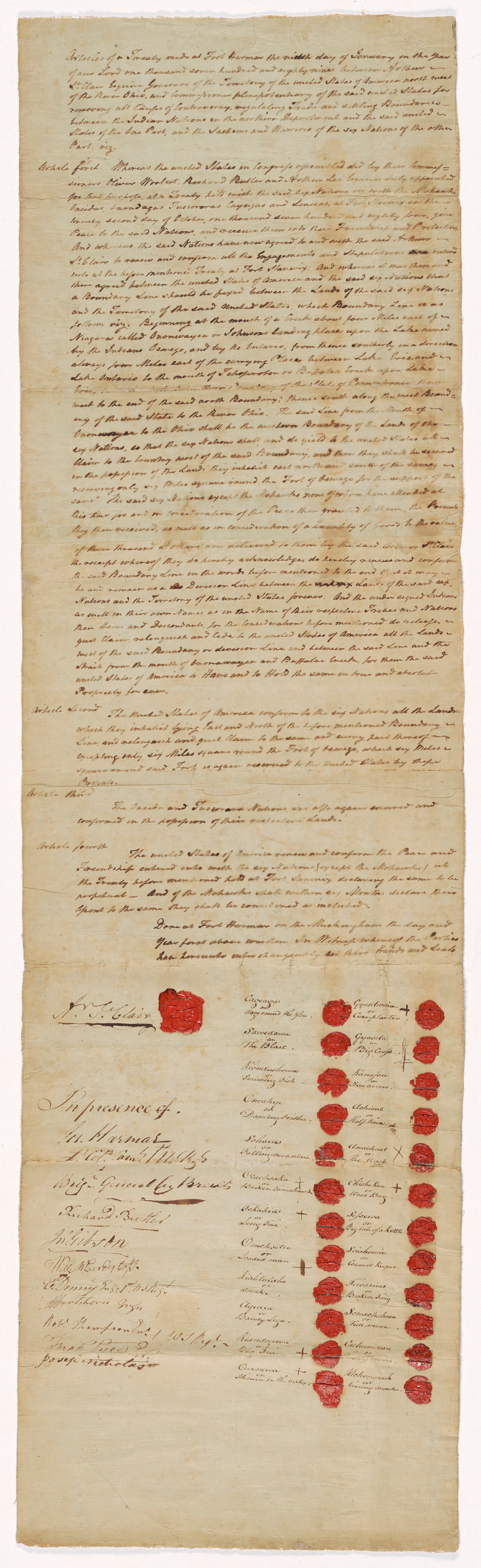
Treaty of Fort Harmar
9 January 1789
 Painting
Primary source
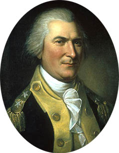
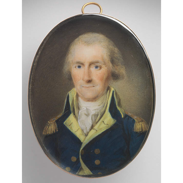
Portrait of Arthur St. Clair
Charles Willson Peale · 1782
 Painting
Primary source
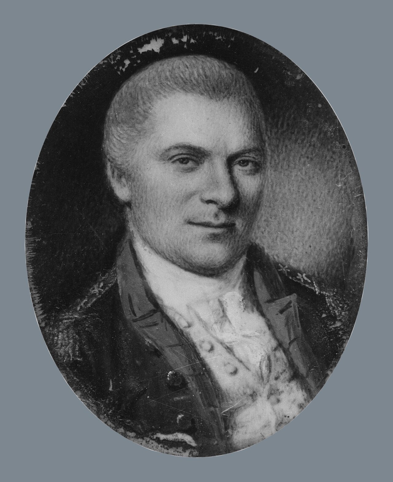
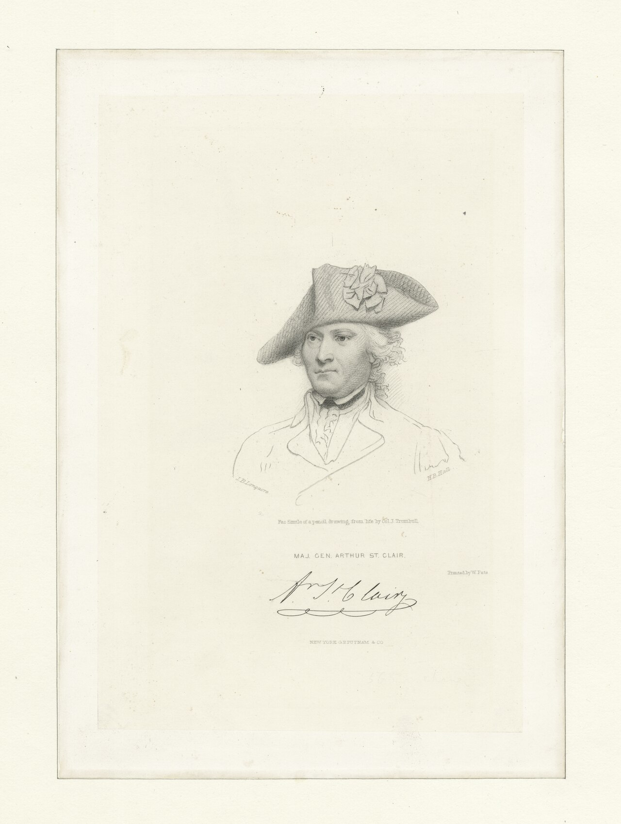
Arthur St. Clair
Henri Elouis · 1795

Free account
Read every Arthur St. Clair source
Sign up free →
Ready when you are
Start chatting with Arthur St. Clair now.
20 messages free · No credit card · Available in 50+ languages.