


Primary sourceDocument1614
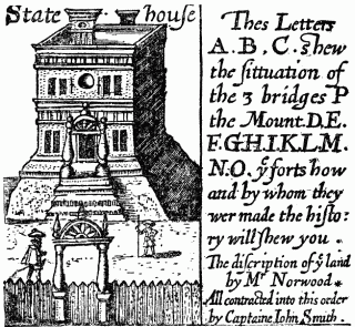
State House of Bermuda
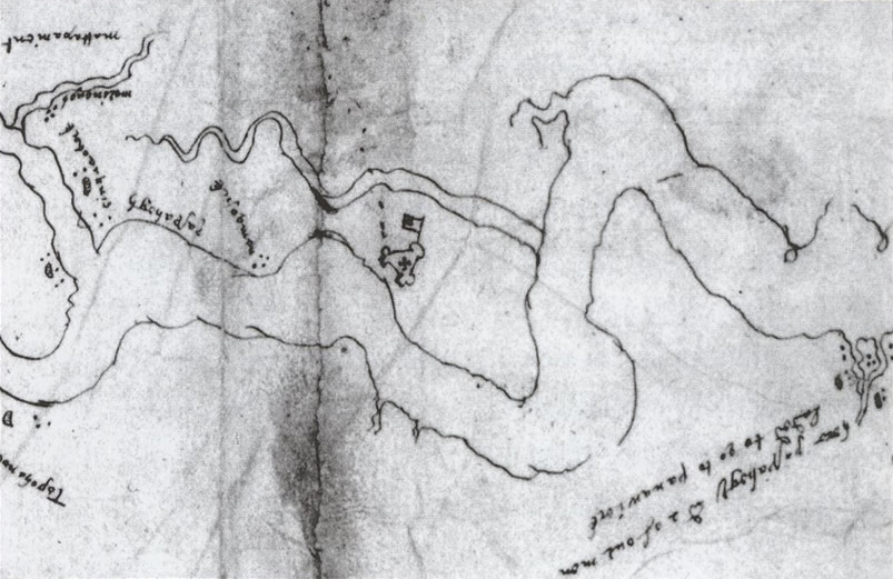
Captain John Smith · 1614
A 1614 map engraving by Captain John Smith depicting the buildings of the young Bermuda colony, including the State House, for English readers.
Smith created this map engraving himself to illustrate the Bermuda colony's buildings for English readers.
Free Humy account · No credit card · 120,912 sources to read
About this source
What it is
This is a detail from a 1614 map engraving of Bermuda made by Captain John Smith, showing the colony's buildings including the State House, with lettered descriptions of bridges, forts and land.
Why it matters
Smith was an English soldier and explorer who wrote and illustrated accounts of England's early colonies to inform readers back home. This map shows how colonial settlements were presented to an English audience as orderly and established, helping shape public understanding of overseas expansion.
Look closer
- What details did Smith choose to label and highlight on the map?
- Why might an explorer want to show a colony's buildings and defenses to people in England?
- What does the map leave out about daily life in the colony?
This document is part of the curated material that grounds the AI version of John Smith on Humy.ai — when students ask about related events, the AI can quote it and cite it.
More John Smith sources
Browse all 81 →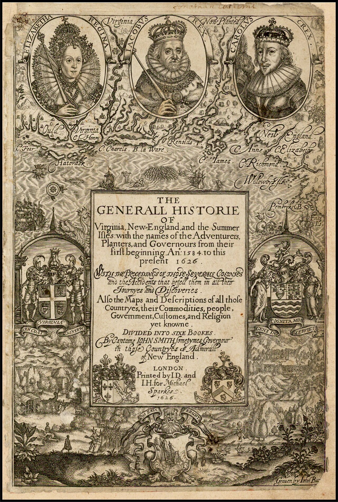 Book
Primary source
The Generall Historie of Virginia, New-England, and the Summer Isles
John Smith · 1624
Primary source
To the Most High and Virtuous Princess
John Smith · 1616
 Document
Primary source
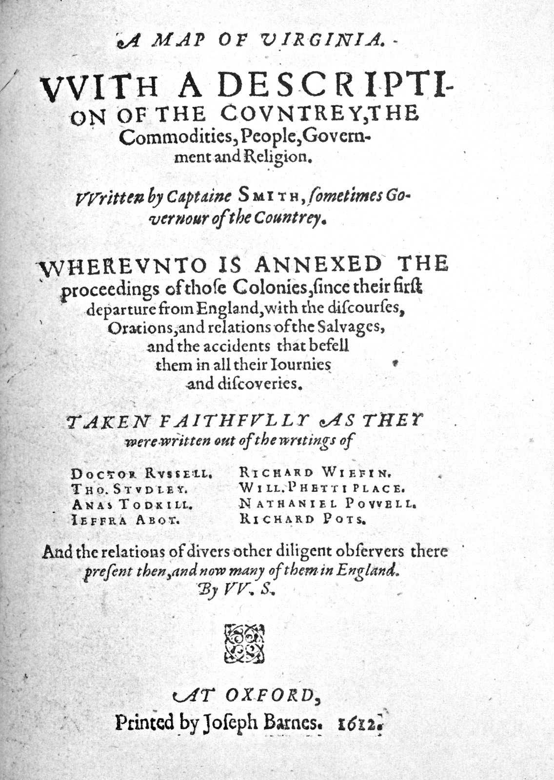
A Map of Virginia
John Smith · 1612
 Book
Primary source
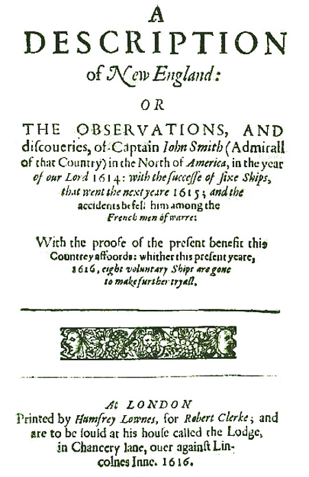
A Description of New England
John Smith · 1616
Free account
Read every John Smith source
Sign up free →
Ready when you are
Start chatting with John Smith now.
20 messages free · No credit card · Available in 50+ languages.