


Secondary sourceDocument2017-07-28
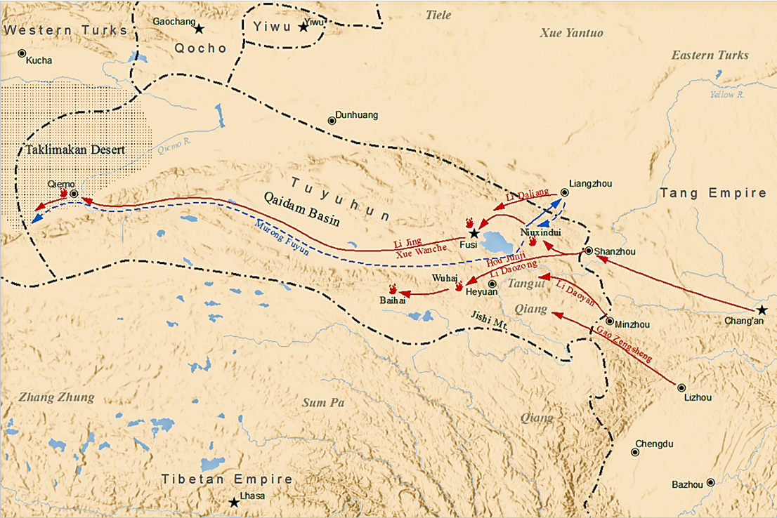
Tang-Tuyuhun War Map, 634 CE
SY · 2017-07-28
A modern teaching map showing Tang army routes led under Taizong's command against the Tuyuhun in 634 CE.
Illustrates a military campaign conducted during Taizong's reign, showing Tang expansion westward.
About this source
What it is
This is a modern map created in 2017 to illustrate the Tang campaign against the Tuyuhun kingdom in 634 CE. It shows red arrows tracing Tang army movements from cities like Chang'an westward, and blue dashed lines showing the Tuyuhun retreat, with commanders such as Li Jing and Li Daozong labeled.
Why it matters
This campaign took place during Emperor Taizong's reign and expanded Tang control over western territories. Maps like this help students understand the military strategy and geography behind Tang dynasty expansion, though the map itself was made centuries later by a modern illustrator.
Look closer
- Why might a modern mapmaker use arrows and colors to show this battle?
- What does this map leave out about the people who lived in Tuyuhun territory?
- How might ancient Tang historians have described this same campaign differently?
This document is part of the curated material that grounds the AI version of Taizong of Tang on Humy.ai — when students ask about related events, the AI can quote it and cite it.
More Taizong of Tang sources
Browse all 90 →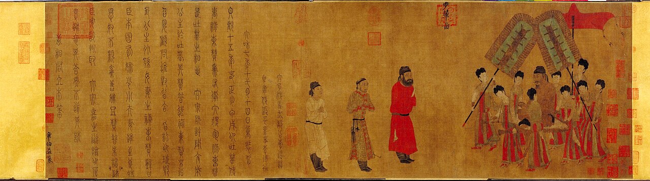 Painting
Secondary source
Bunian Tu
Yan Liben · c. 700 (possibly a later copy of an earlier original)
 Document
Primary source
Tang Code
624, revised 627 and 637
 Sculpture
Primary source
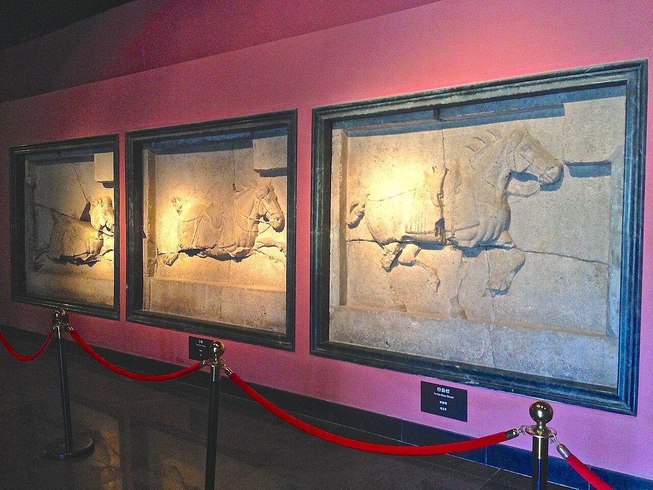
Six Steeds of Zhao Mausoleum
Yan Liben (attributed) · Tang dynasty (618-907)
Primary source
Difan
Emperor Taizong of Tang · 648
Free account
Read every Taizong of Tang source
Sign up free →
Ready when you are
Start chatting with Taizong of Tang now.
20 messages free · No credit card · Available in 50+ languages.