


Primary sourceDocument1794
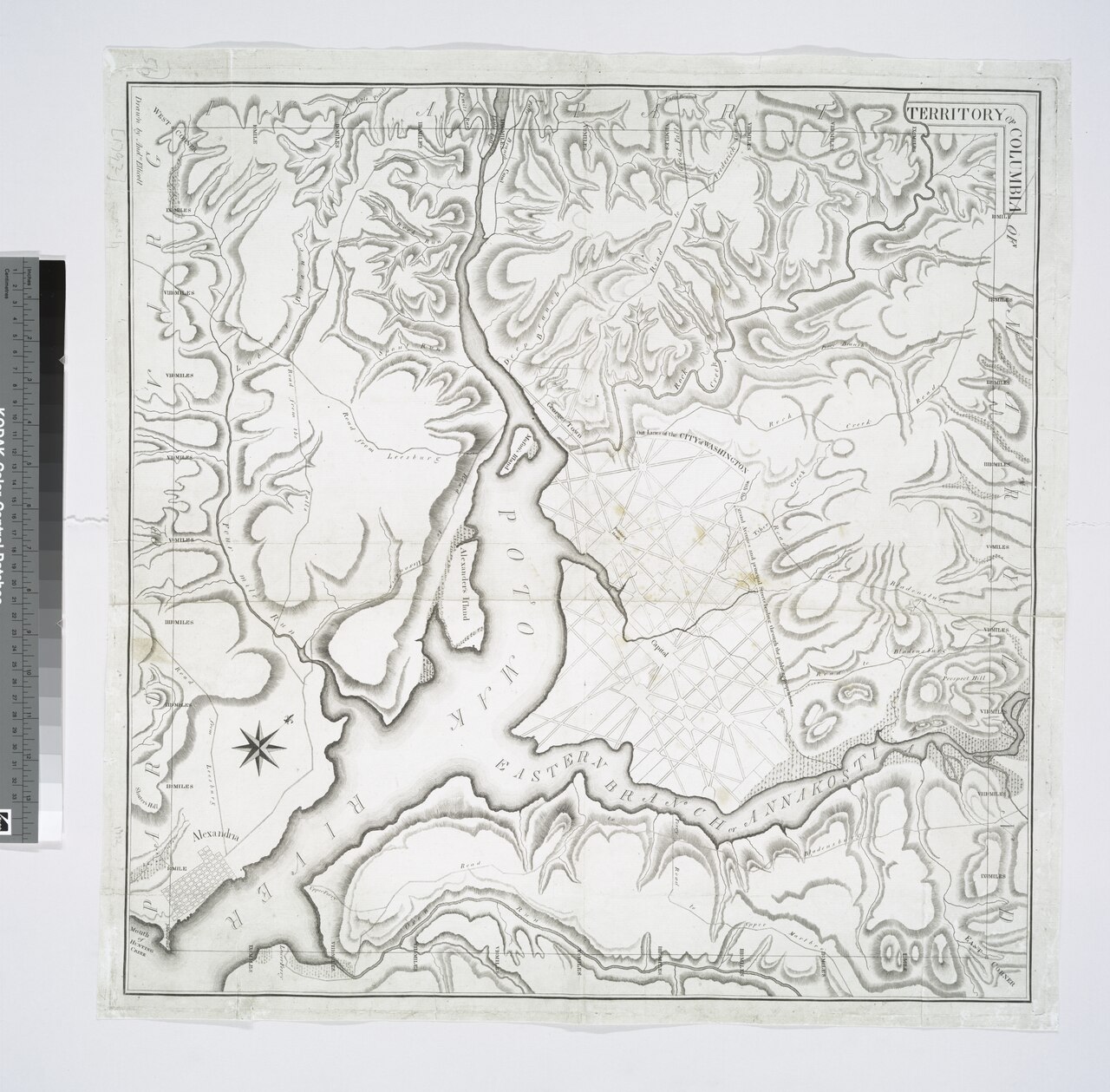
Territory of Columbia
Andrew Ellicott · 1794
An 18th-century hand-drawn map of the new federal district, made during the survey that Benjamin Banneker helped carry out.
Banneker assisted Ellicott with this federal district survey, making this map a primary record of his technical work.
About this source
What it is
This is a hand-drawn map titled Territory of Columbia, made in 1794 by surveyor Andrew Ellicott. It shows the Potomac River, the Eastern Branch, hills, Alexandria, and the planned street grid of the new federal city. It is held in a library map collection today.
Why it matters
The map records the survey of the land that became Washington, D.C. Benjamin Banneker, a free African American scientist and surveyor, assisted Andrew Ellicott with this survey. The map is direct evidence of the careful scientific work that laid out the nation's capital, and of the skilled people, including Banneker, who made it possible.
Look closer
- What details on the map show it was made for practical, technical use?
- Why might a surveyor need to show rivers, hills, and streets together?
- What does this map leave out about the people who actually did the surveying work?
This document is part of the curated material that grounds the AI version of Benjamin Banneker on Humy.ai — when students ask about related events, the AI can quote it and cite it.
More Benjamin Banneker sources
Meet the AI Benjamin Banneker →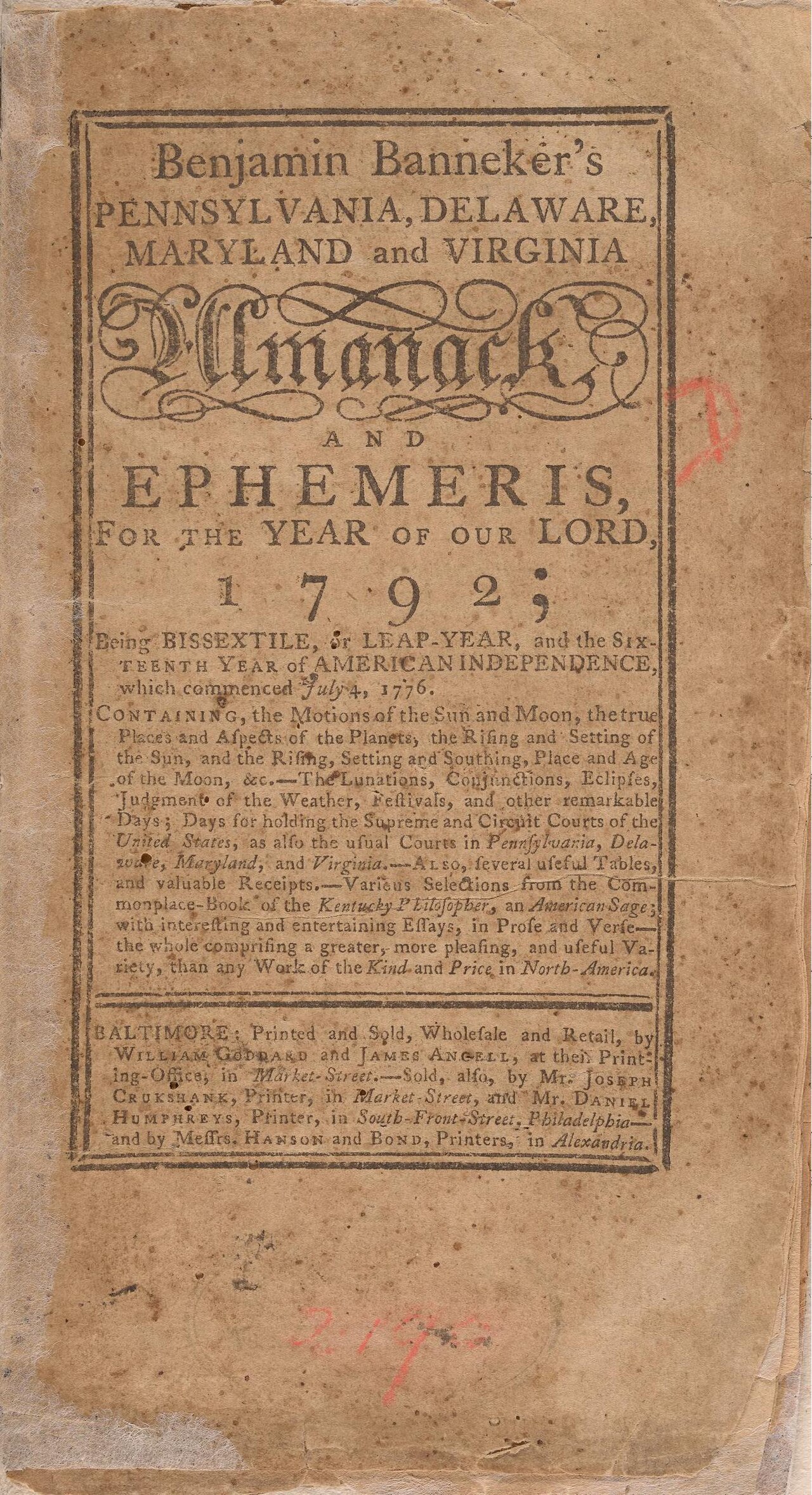 Book
Primary source
Benjamin Banneker's Pennsylvania, Delaware, Maryland and Virginia Almanack and Ephemeris for 1792
Benjamin Banneker · 1791
 Painting
Primary source
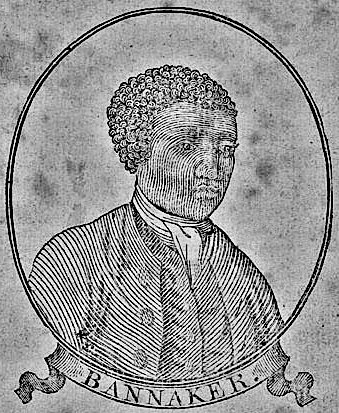
Benjamin Banneker woodcut, age 64
Unknown · 1795
Secondary source
De la littérature des Nègres
Henri Grégoire · 1808
 Artifact
Primary source
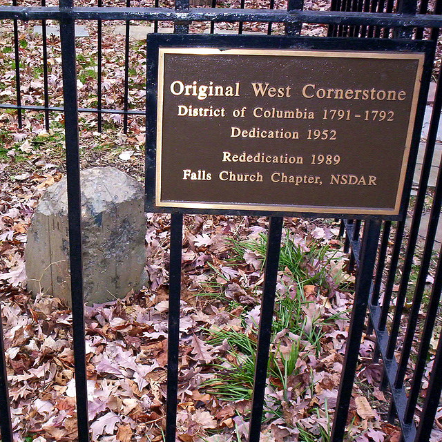
Boundary Stones of the original District of Columbia
Andrew Ellicott's survey team · 1791–1792
Primary source
The Talented Tenth
W. E. B. Du Bois · 1903
Ready when you are
Start chatting with Benjamin Banneker now.
20 messages free · No credit card · Available in 50+ languages.