


Primary sourceArtifact1900
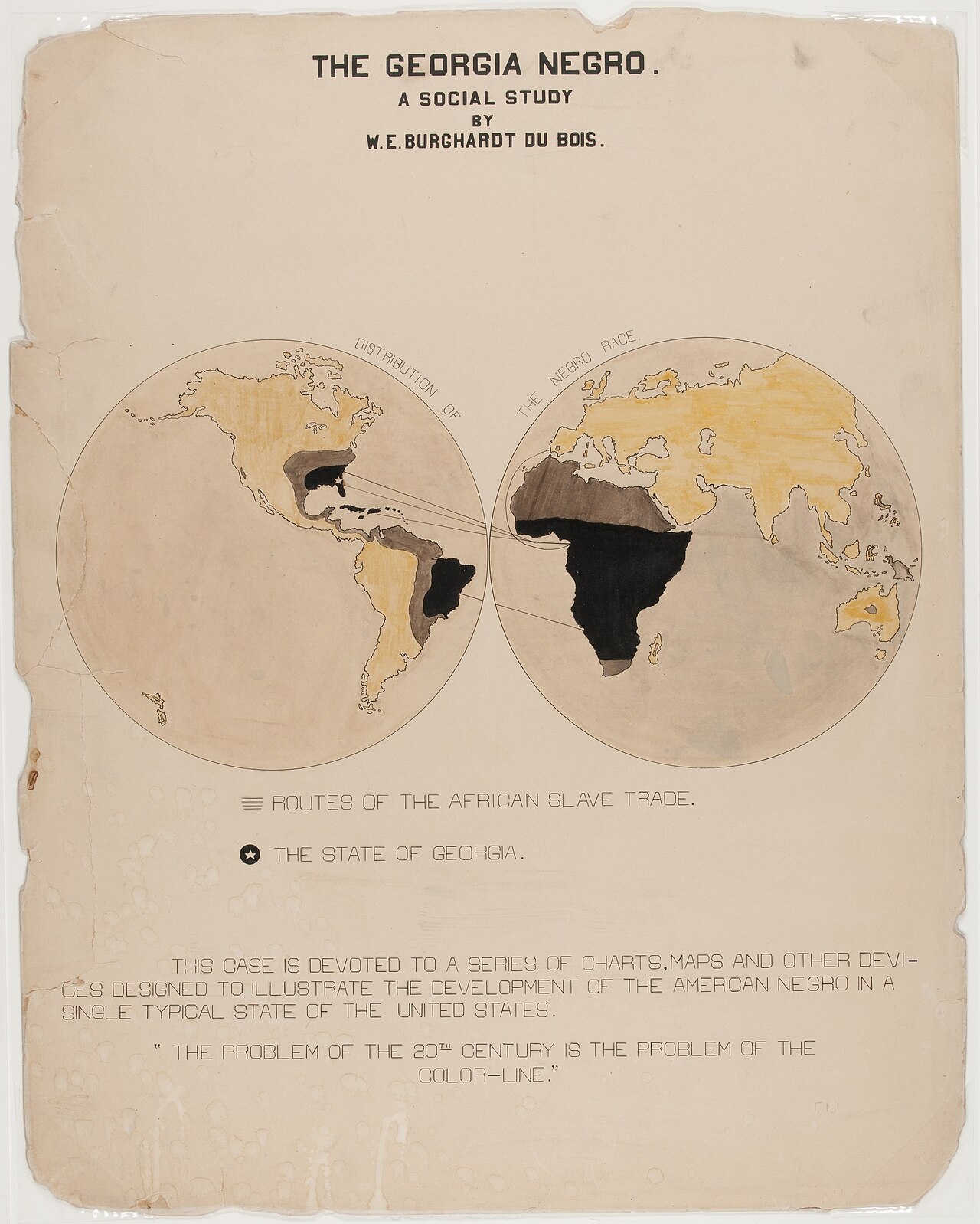
The Georgia Negro: chart of slave trade routes
W. E. Burghardt Du Bois · 1900
A hand-drawn chart by Du Bois showing routes of the African slave trade, made for the 1900 Paris Exposition.
Designed by Du Bois himself as a data visualization for the 1900 Paris Exposition exhibit on Black American progress.
About this source
What it is
This ink and watercolor chart was prepared by W. E. B. Du Bois for the Negro Exhibit of the American Section at the 1900 Paris Exposition. It shows routes of the African slave trade, with the state of Georgia marked with a star.
Why it matters
Du Bois designed this chart as part of a larger exhibit meant to show the economic and social progress of African Americans since emancipation. It reveals his skill at using visual data to make arguments about history and race to an international audience.
Look closer
- Why would Du Bois want to show slave trade routes to visitors at a world's fair?
- What does the choice to star Georgia suggest about the chart's purpose?
- What story does a map like this tell, and what does it leave out?
This artifact is part of the curated material that grounds the AI version of W.E.B. Du Bois on Humy.ai — when students ask about related events, the AI can quote it and cite it.
More W.E.B. Du Bois sources
Meet the AI W.E.B. Du Bois →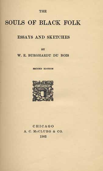 Book
Secondary source
The Souls of Black Folk
W. E. B. Du Bois · 18 April 1903
 Document
Primary source
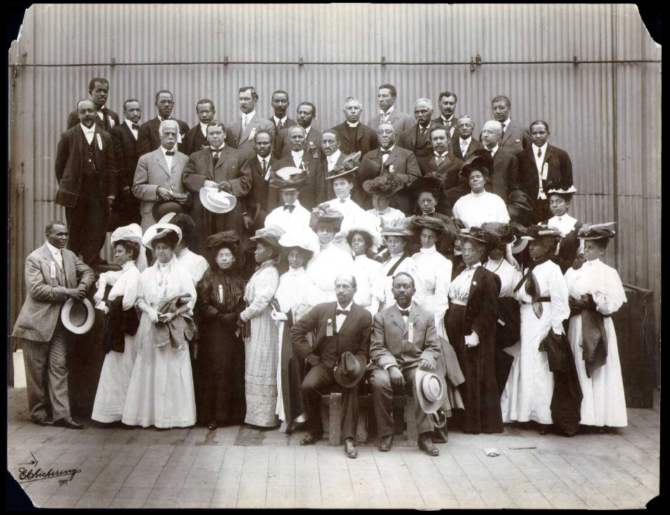
Niagara Movement
W. E. B. Du Bois · 1905
 Newspaper article
Primary source
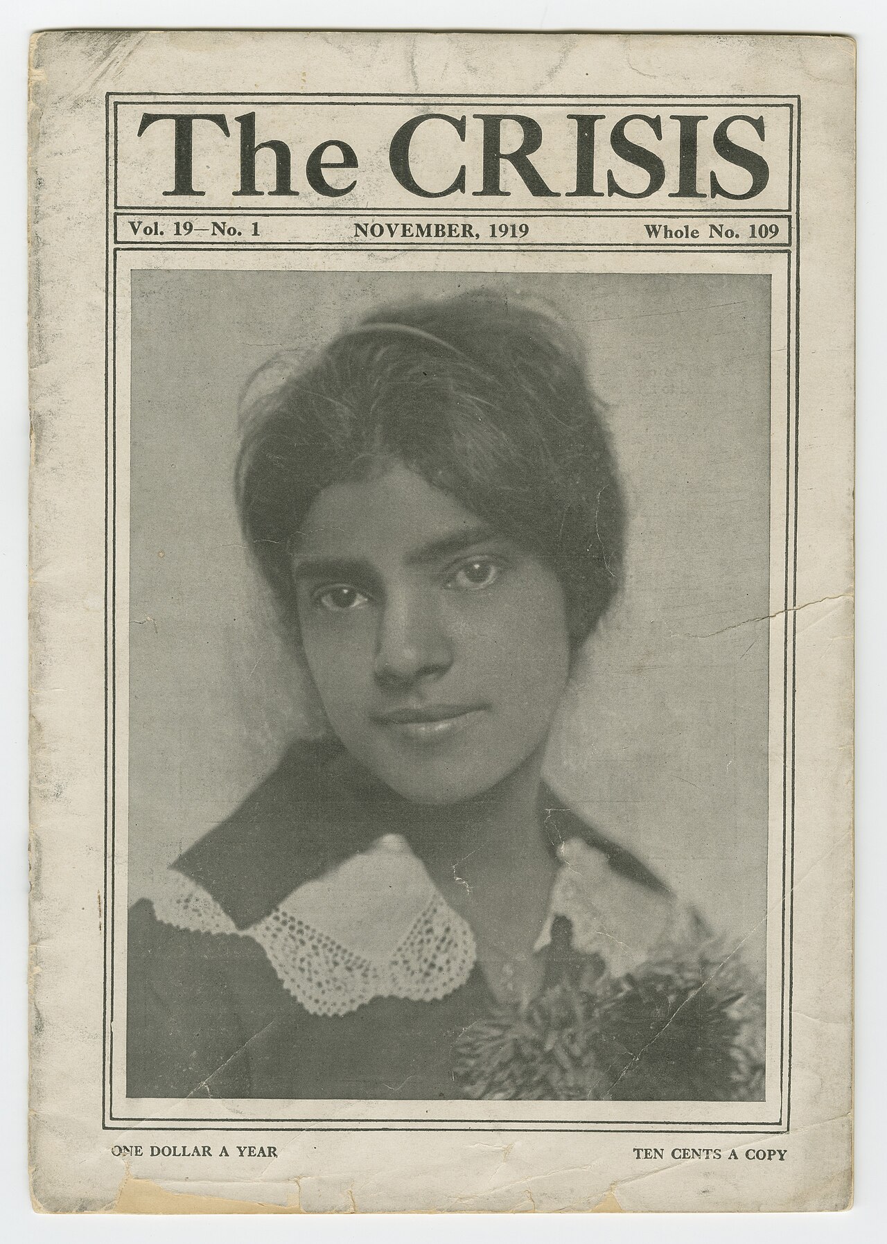
The Crisis
W. E. B. Du Bois · 1910
Primary source
The Talented Tenth
W. E. B. Du Bois · 1903
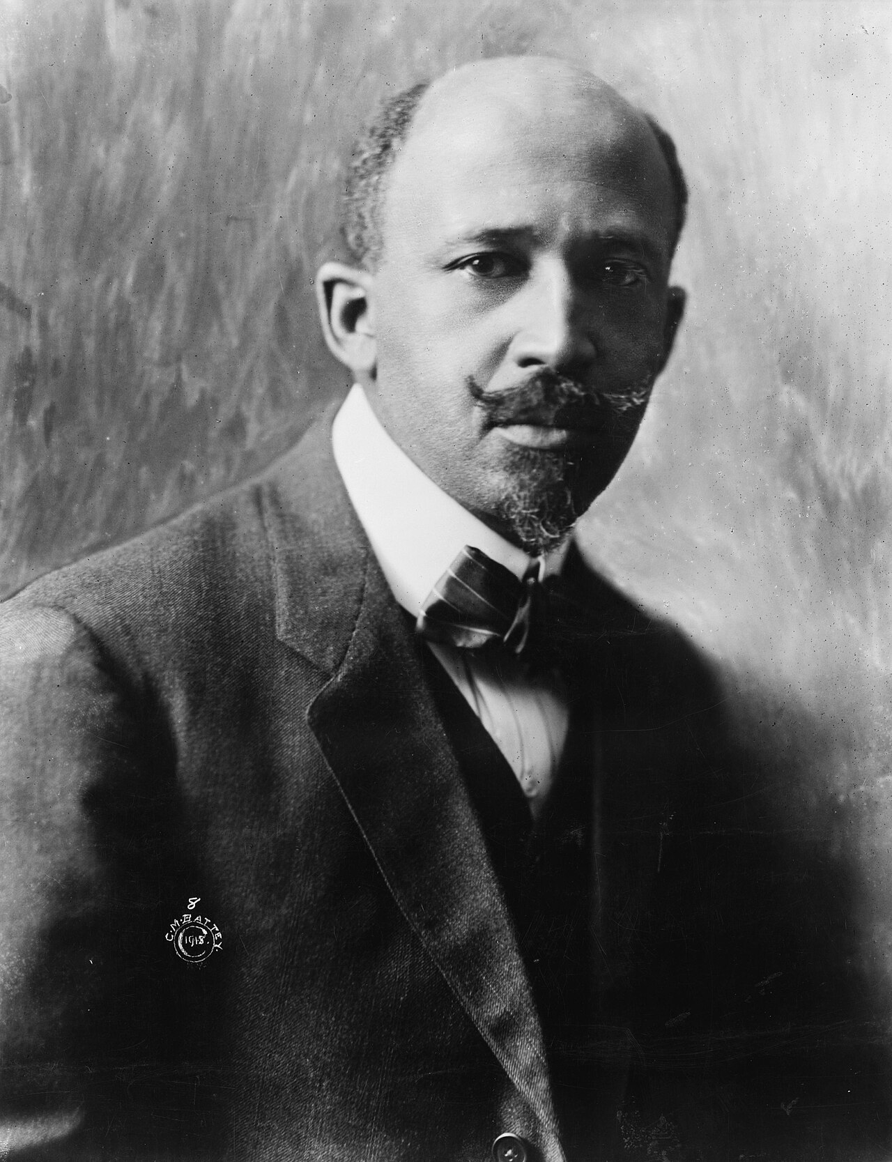 Photograph
Primary source
W. E. B. Du Bois, 1918 portrait
Cornelius Marion Battey · 1918
Ready when you are
Start chatting with W.E.B. Du Bois now.
20 messages free · No credit card · Available in 50+ languages.