


Primary sourceDocument1753
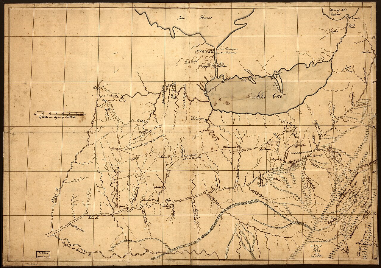
Trader's Map of the Ohio Country
John Patten · 1753
A hand-drawn 1753 trader's map of the Ohio Country, from the period of Christopher Gist's journeys through the region.
A map of the Ohio Country from the era of Gist's own journeys through the same region.
About this source
What it is
This is a manuscript map, drawn in pen-and-ink and watercolor, showing the Ohio Country around 1753. It is credited to John Patten and shows rivers, mountains, and place names of the region, with Lake Erie labeled at the top. It is held in the Library of Congress map collections.
Why it matters
Maps like this were essential tools for traders and explorers moving through unmapped territory claimed by rival European powers and inhabited by Native nations. It dates from the same years Christopher Gist was traveling and surveying the Ohio Country for British colonial interests, though his direct connection to this particular map is not confirmed.
Look closer
- What details did the mapmaker include, and what might they have left out?
- Who would have used a map like this, and why would accuracy matter to them?
- What does the map suggest about who controlled or wanted to control this land?
This document is part of the curated material that grounds the AI version of Christopher Gist on Humy.ai — when students ask about related events, the AI can quote it and cite it.
More Christopher Gist sources
Meet the AI Christopher Gist →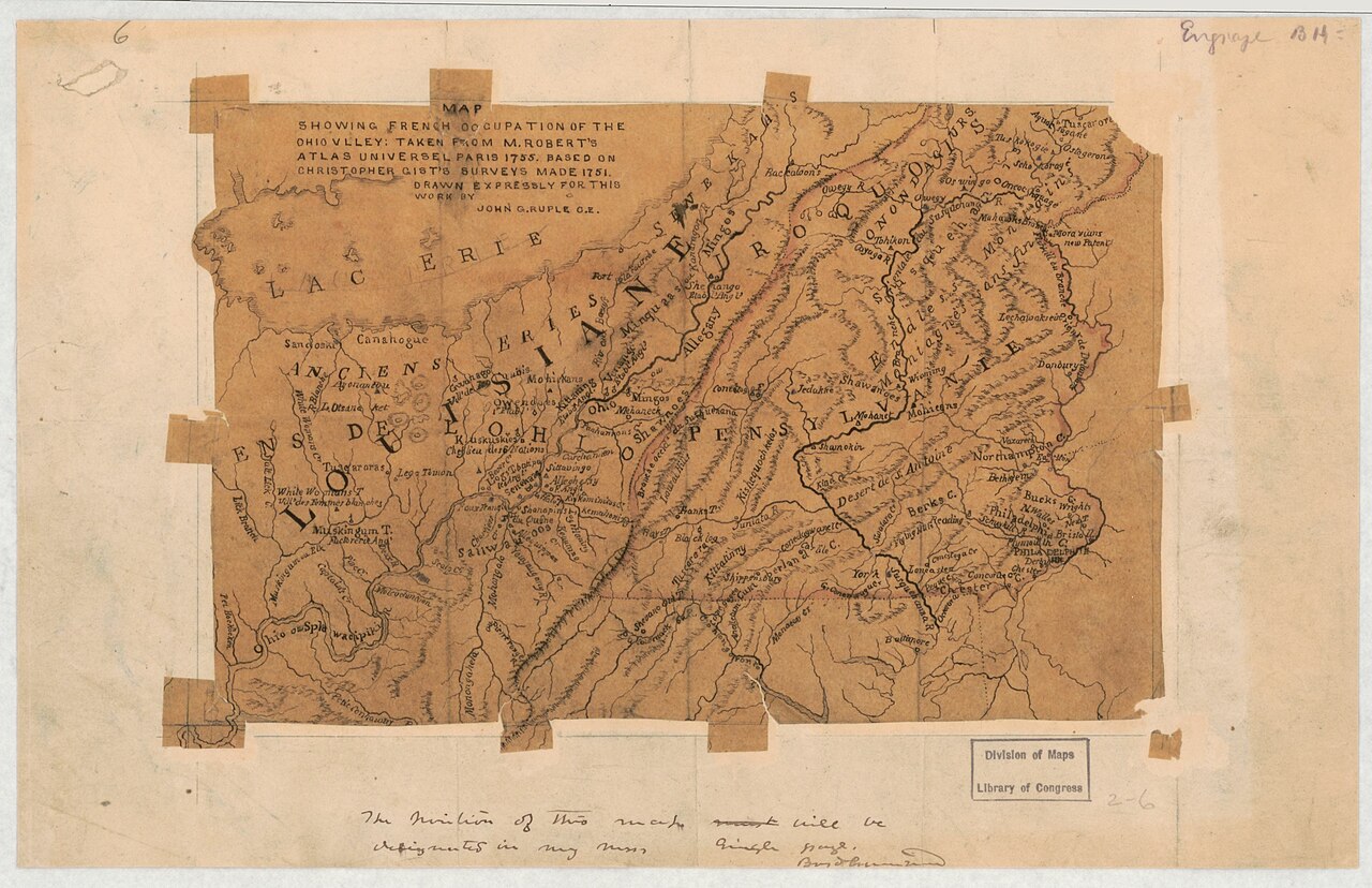 Document
Secondary source
Map Showing French Occupation of the Ohio Valley
John G. Ruple · 1755 (based on 1751 surveys)
Primary source
Journal of Captain William Trent from Logstown to Pickawillany, A.D. 1752
William Trent · 1752 (published 1871)
 Document
Primary source
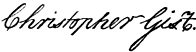
Signature of Christopher Gist
Christopher Gist
 Document
Primary source
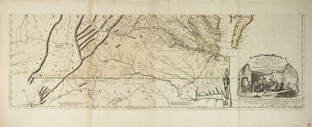
Fry-Jefferson Map of Virginia
Joshua Fry and Peter Jefferson · 1751 (revised 1755)
 Book
Secondary source
A Topographical Description of Such Parts of North America
Thomas Pownall · 1776
Ready when you are
Start chatting with Christopher Gist now.
20 messages free · No credit card · Available in 50+ languages.