


Primary sourceDiary entryJune 1801
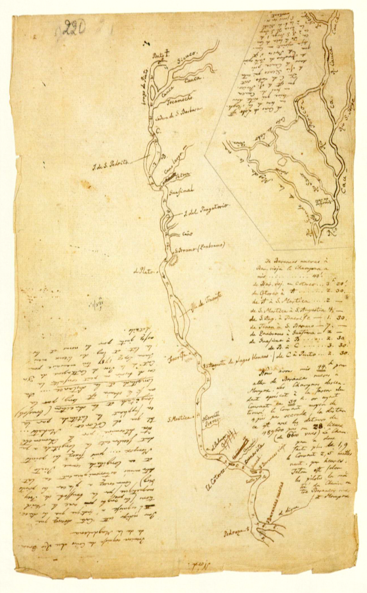
Travel Diary Page with First Map of the Magdalena River
Alexander von Humboldt · June 1801
A page from Alexander von Humboldt's own 1801 travel diary, containing his early hand-drawn map of the Magdalena River in Colombia.
This is Humboldt's own field diary page, showing his first hand-drawn map of the Magdalena River.
About this source
What it is
This is a page from Alexander von Humboldt's travel diary, written in June 1801, containing his first map of the Rio Grande de la Magdalena in present-day Colombia. The map is hand-drawn in ink, with the river running down the page, tributaries, labels and an inset map, oriented with south at the top.
Why it matters
This page shows Humboldt's working method in the field: sketching rivers and landscapes directly from observation while traveling, long before his findings were published as finished maps and books. It is a rare glimpse of raw exploration notes rather than a polished final product.
Look closer
- Why do you think Humboldt oriented the map with south at the top instead of north?
- What might the handwritten notes beside the map describe?
- How is a working field sketch like this different from a finished published map?
This diary entry is part of the curated material that grounds the AI version of Alexander von Humboldt on Humy.ai — when students ask about related events, the AI can quote it and cite it.
More Alexander von Humboldt sources
Browse all 93 →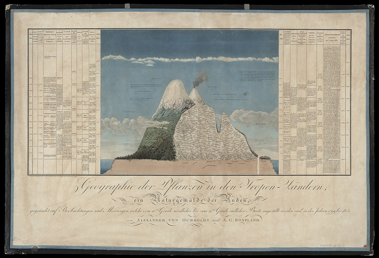 Artifact
Primary source
Naturgemälde der Anden
Alexander von Humboldt · 1805
 Book
Primary source
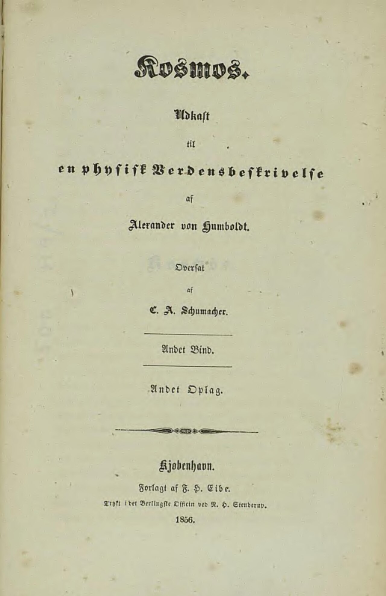
Cosmos
Alexander von Humboldt · 1845
 Painting
Primary source
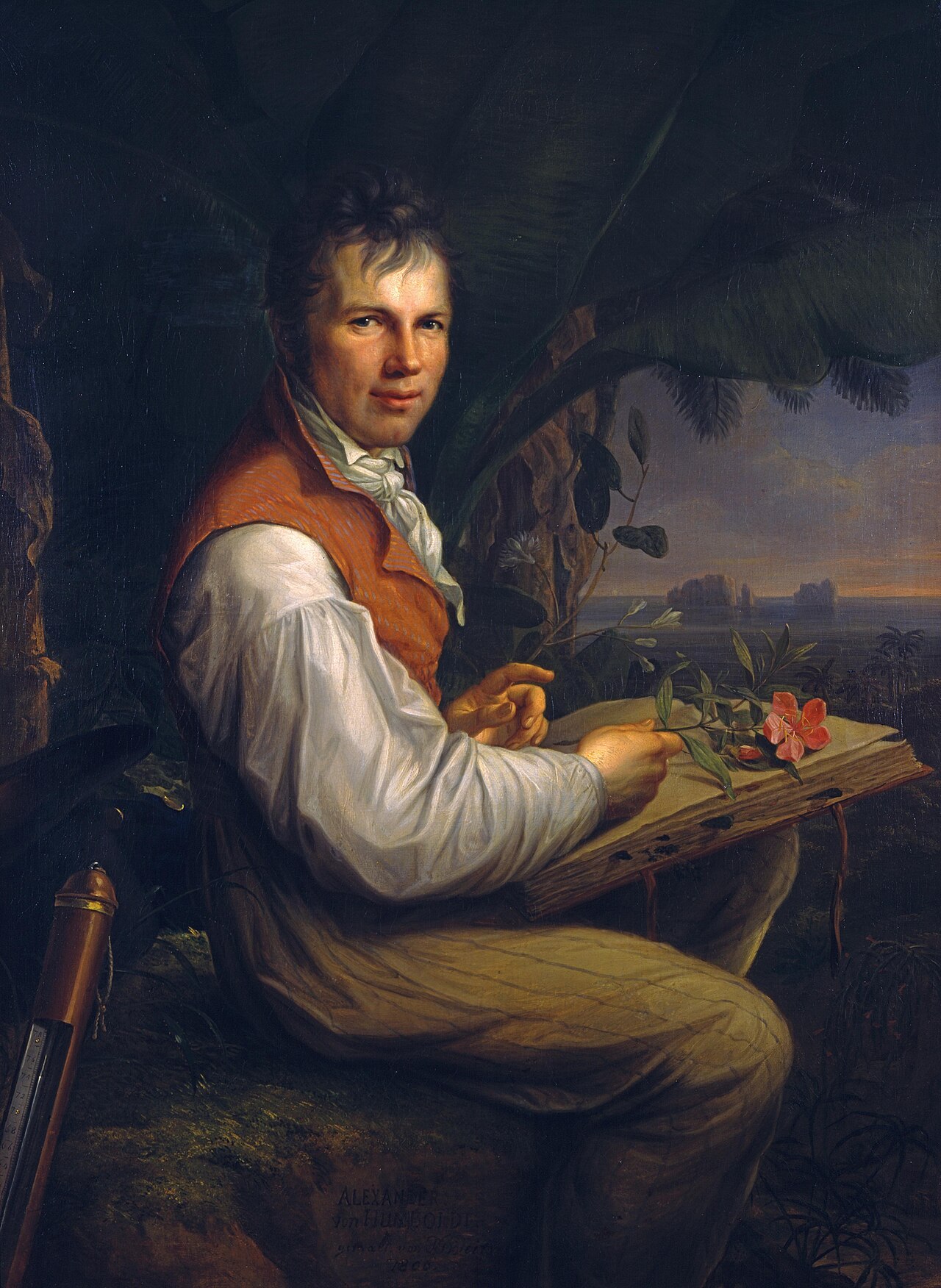
Portrait of Alexander von Humboldt
Friedrich Georg Weitsch · 1806
 Photograph
Primary source
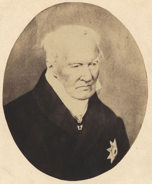
Alexander von Humboldt photo 1857
Verlag von L. Haase & Co. · 1857
Free account
Read every Alexander von Humboldt source
Sign up free →
Ready when you are
Start chatting with Alexander von Humboldt now.
20 messages free · No credit card · Available in 50+ languages.