


Secondary sourceDocument1819
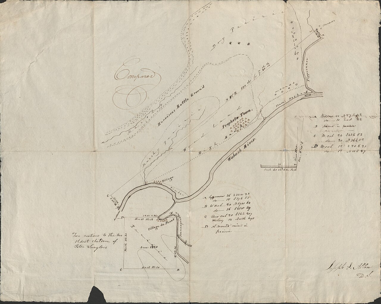
Treaty Map of Prophetstown and Battle of Tippecanoe Site
Joseph S. Allen · 1819
An 1819 hand-drawn map locating Prophetstown, founded by Tenskwatawa, and the nearby battlefield where his followers fought in 1811.
This 1819 treaty map marks Prophetstown, the settlement Tenskwatawa founded, and the battle site tied to him.
About this source
What it is
This is a hand-drawn ink map created in 1819 by Joseph S. Allen for treaty purposes. It shows the site of Prophetstown and the ground where the Battle of Tippecanoe was fought, along with the Wabash and Tippecanoe Rivers and survey details.
Why it matters
Prophetstown was the settlement founded by Tenskwatawa, and the battle marked on this map was fought there in 1811 after he ordered an attack on Harrison's forces. As an official treaty-era map, it documents the real geography of a place central to Tenskwatawa's movement and its defeat, used afterward by American officials making land agreements.
Look closer
- Why would a map of this site be made for a treaty in 1819?
- What details on the map tell you this was an official survey rather than a simple sketch?
- What is missing from a map like this — whose presence or experience isn't shown?
This document is part of the curated material that grounds the AI version of Tenskwatawa on Humy.ai — when students ask about related events, the AI can quote it and cite it.
More Tenskwatawa sources
Meet the AI Tenskwatawa →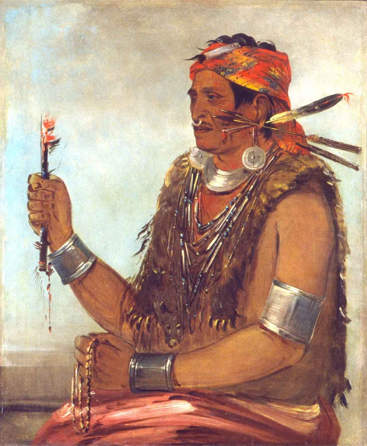 Painting
Primary source
Ten-squat-a-way, The Open Door, Known as The Prophet, Brother of Tecumseh
George Catlin · 1830
 Painting
Primary source
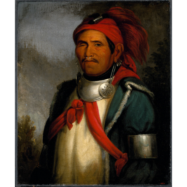
Portrait of Tenskwatawa
Henry Inman · c. 1830-1833
PaintingSecondary source
Tenskwatawa
Henry Inman · 1831
 Document
Primary source
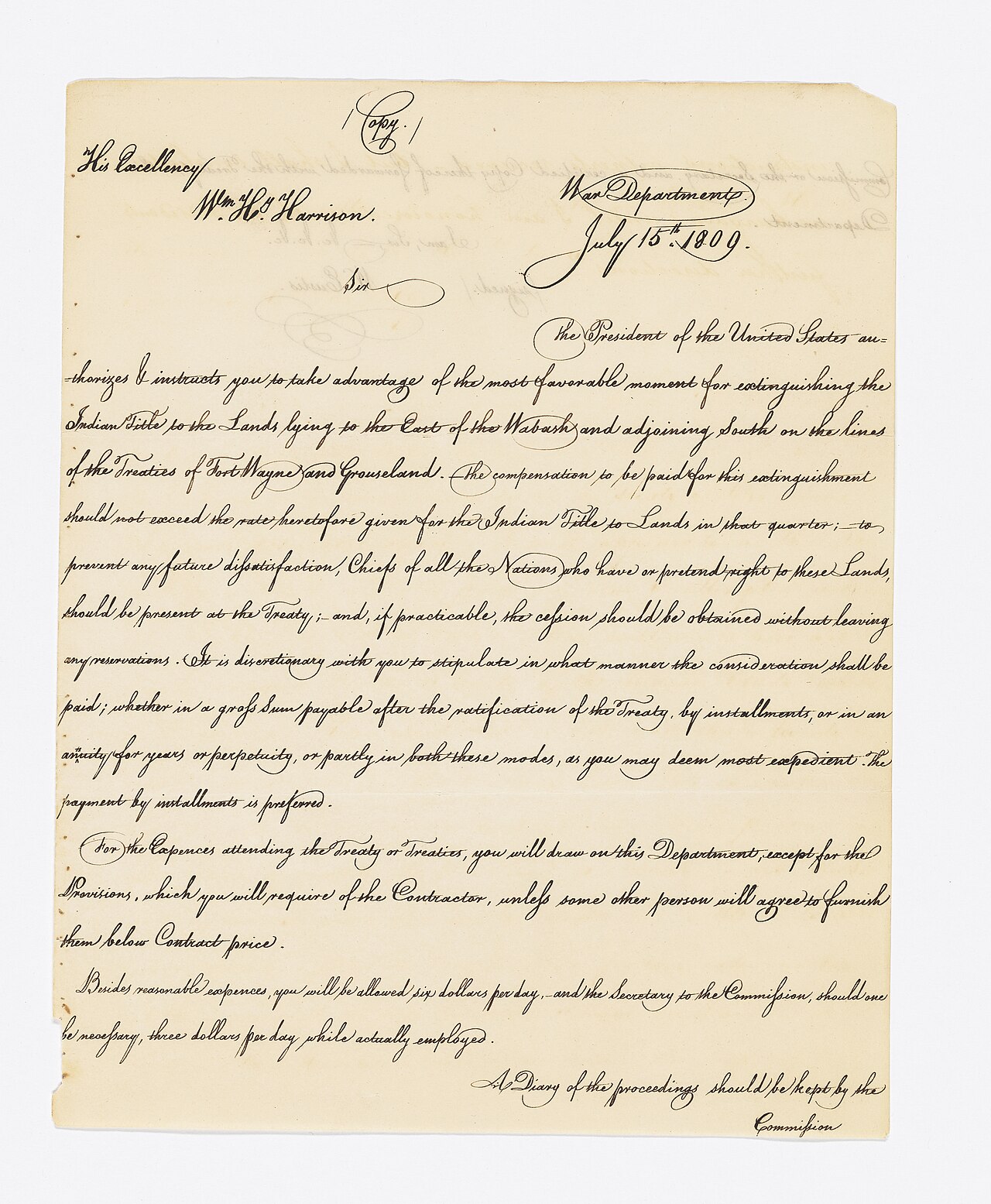
Treaty of Fort Wayne
1809
 Painting
Primary source
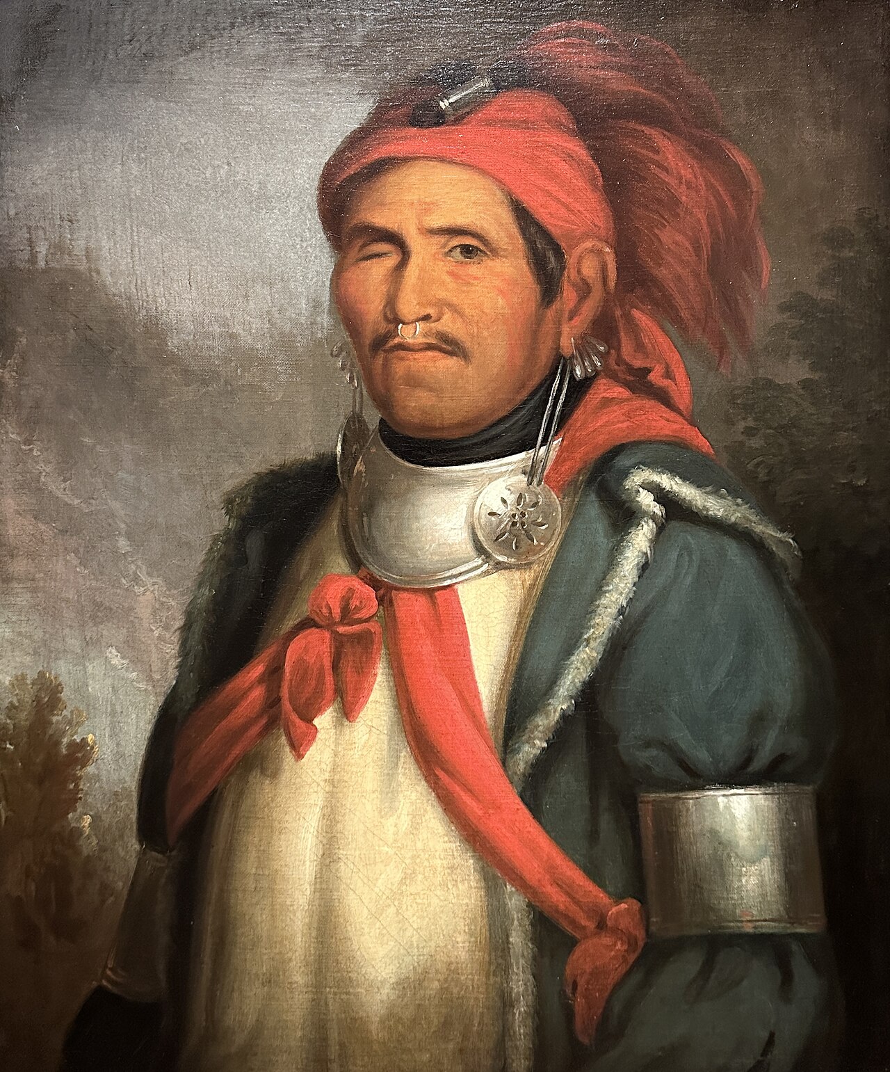
Tenskwatawa by Charles Bird King
Charles Bird King
Ready when you are
Start chatting with Tenskwatawa now.
20 messages free · No credit card · Available in 50+ languages.