


Primary sourceDocumentFebruary 1405
Tripartite Indenture
February 1405
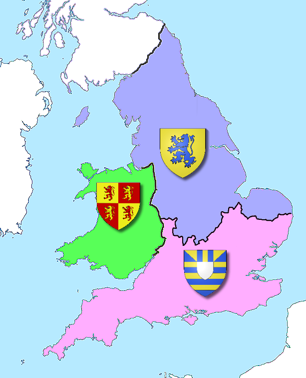
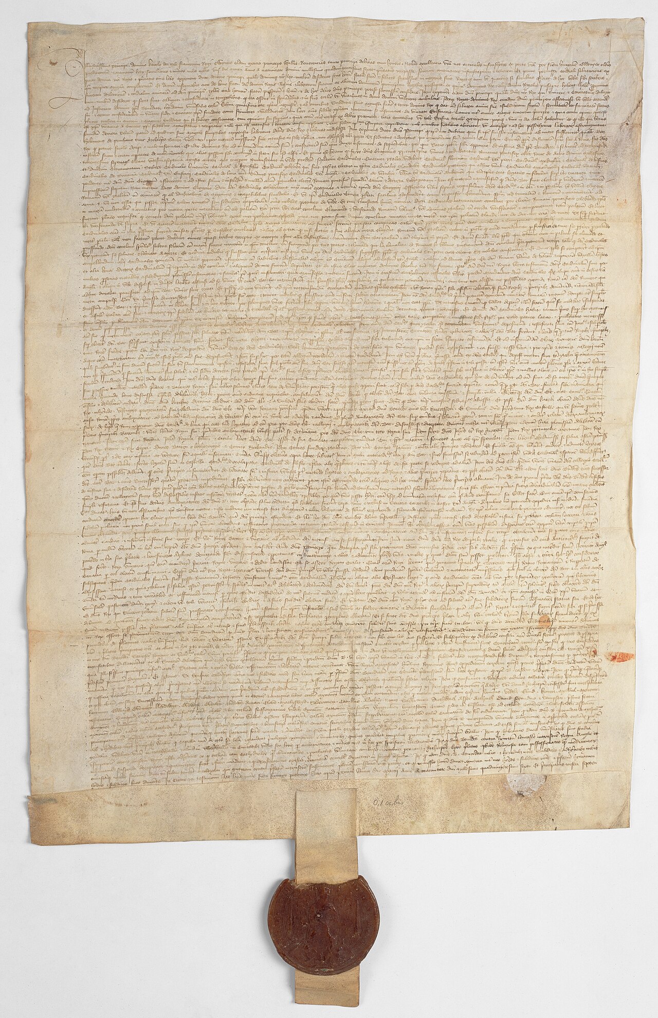
A 1405 agreement between Owain Glyndŵr, Edmund Mortimer and Henry Percy to divide England and Wales between them, threatening to overthrow Henry IV.
This coalition plotted to partition Henry IV's realm among themselves, showing the scale of rebellion he faced.
About this source
What it is
The Tripartite Indenture was a document drawn up in February 1405 by Owain Glyndŵr, Edmund Mortimer and Henry Percy, Earl of Northumberland. In it the three men agreed to split England and Wales among themselves, setting out exact borders for each share.
Why it matters
The agreement shows how deep opposition to King Henry IV had grown by 1405. Glyndŵr wanted an independent Wales, while Percy and Mortimer had their own grievances against the king. Together they formed a powerful coalition that threatened to break apart Henry's kingdom. In the end the plan failed: all three men died or were defeated within a few years, and Henry's rule survived.
Look closer
- What does the detailed description of borders tell you about how seriously the plotters took their plan?
- Why might three very different men — a Welsh prince and two English nobles — have found common cause against the same king?
- What does the map leave out about the chances the plan actually had of succeeding?
This document is part of the curated material that grounds the AI version of Henry IV on Humy.ai — when students ask about related events, the AI can quote it and cite it.
More Henry IV sources
Browse all 84 →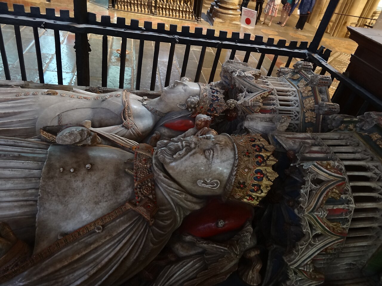 Sculpture
Primary source
Tomb of Henry IV and Joan of Navarre
c. 1413
 Painting
Primary source
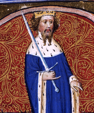
Illumination of Henry IV
c. 1402
 Document
Primary source
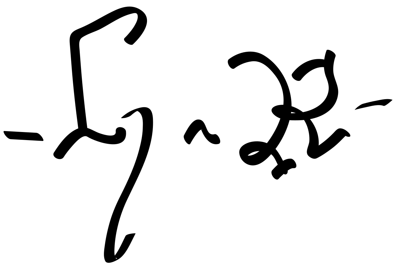
Signature of Henry IV
Henry IV of England
 Artifact
Primary source
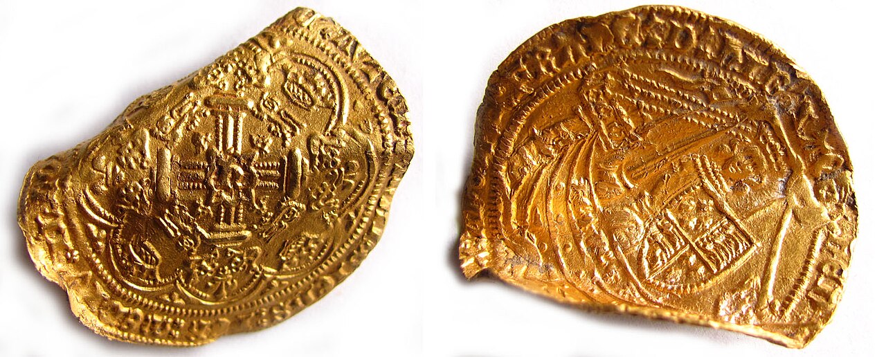
Gold Noble of Henry IV
1399-1412

Free account
Read every Henry IV source
Sign up free →
Ready when you are
Start chatting with Henry IV now.
20 messages free · No credit card · Available in 50+ languages.