


Primary sourceDocument1916
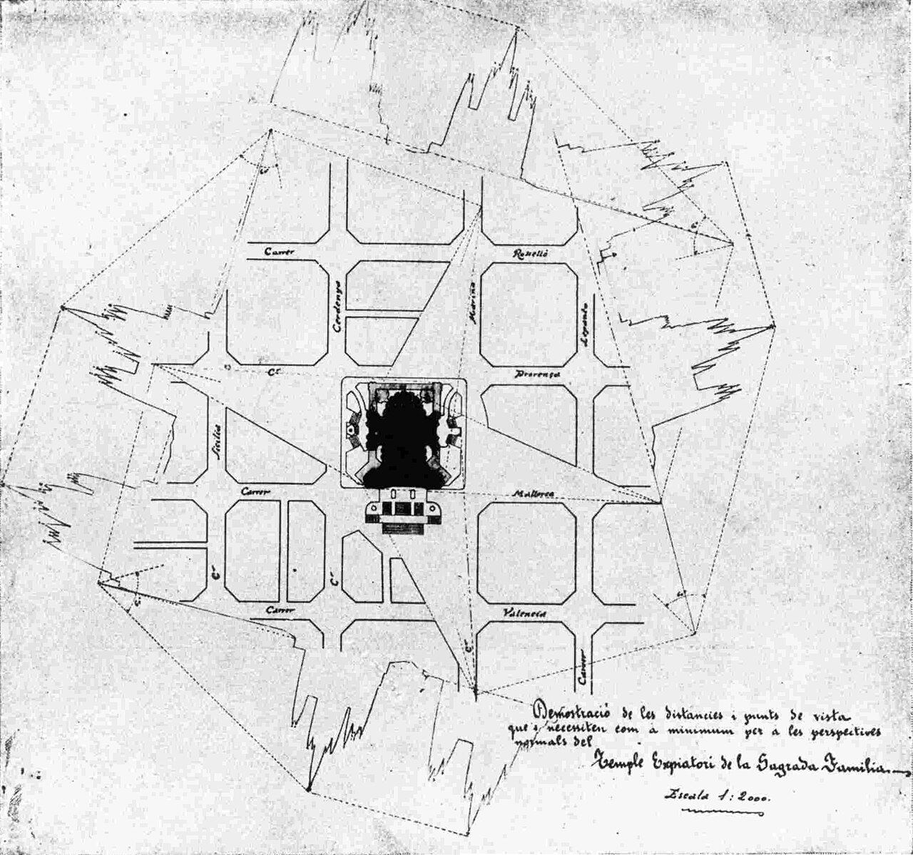
Urban Study of the Sagrada Família Area
Sagrada Família (oficial) · 1916
Gaudí's 1916 plan of the streets around the Sagrada Família, showing sightlines for viewing the church.
This 1916 urban study records Gaudí's planning of the streets and viewpoints around his Sagrada Família project.
About this source
What it is
A hand-drawn urban plan from 1916 showing streets around the Sagrada Família, made as part of Antoni Gaudí's project. The drawing shows the church as a dark block at the center of a street grid, with dashed sightlines and angled lines radiating outward, and a handwritten Catalan caption about distances and viewpoints for seeing the church.
Why it matters
This drawing shows that Gaudí thought beyond the building itself, considering how people moving through the city would see and experience the Sagrada Família from different streets and distances. It reveals his interest in the relationship between architecture and its urban surroundings.
Look closer
- Why might an architect care about sightlines from surrounding streets?
- What does the handwritten caption tell us about the purpose of this drawing?
- How does this plan change how you think about Gaudí's role as an architect?
This document is part of the curated material that grounds the AI version of Antonio Gaudí on Humy.ai — when students ask about related events, the AI can quote it and cite it.
More Antonio Gaudí sources
Meet the AI Antonio Gaudí →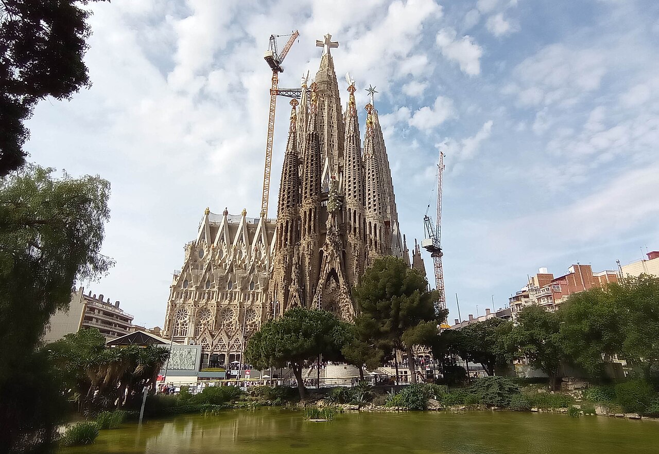 Artifact
Primary source
Sagrada Família
Antoni Gaudí · begun 1882, redesigned by Gaudí from 1883, still under construction
 Artifact
Primary source
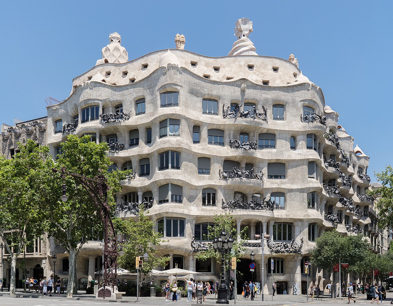
Casa Milà
Antoni Gaudí · 1906-1912
 Artifact
Primary source
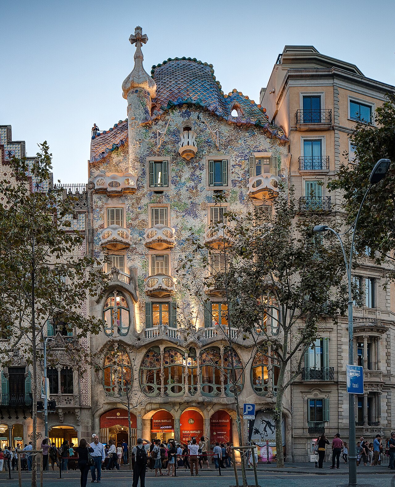
Casa Batlló
Antoni Gaudí · remodelled 1904-1906
 Artifact
Primary source
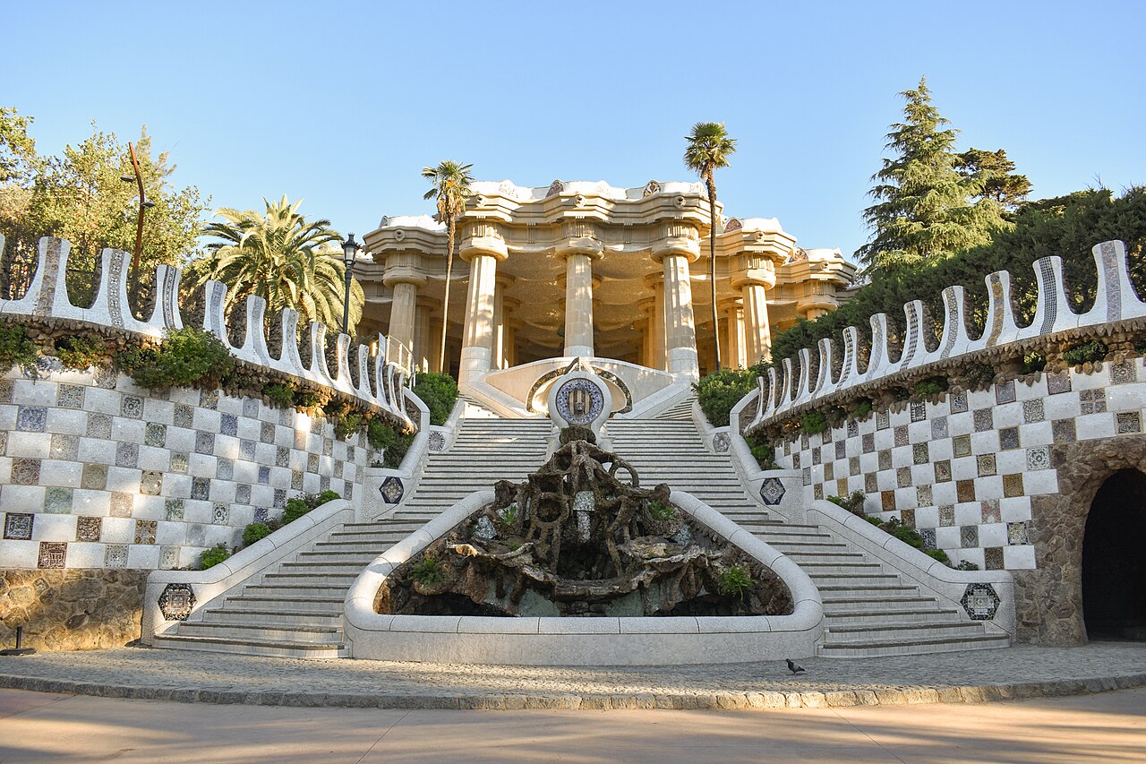
Park Güell
Antoni Gaudí · 1900-1914, opened 1926
 Artifact
Primary source
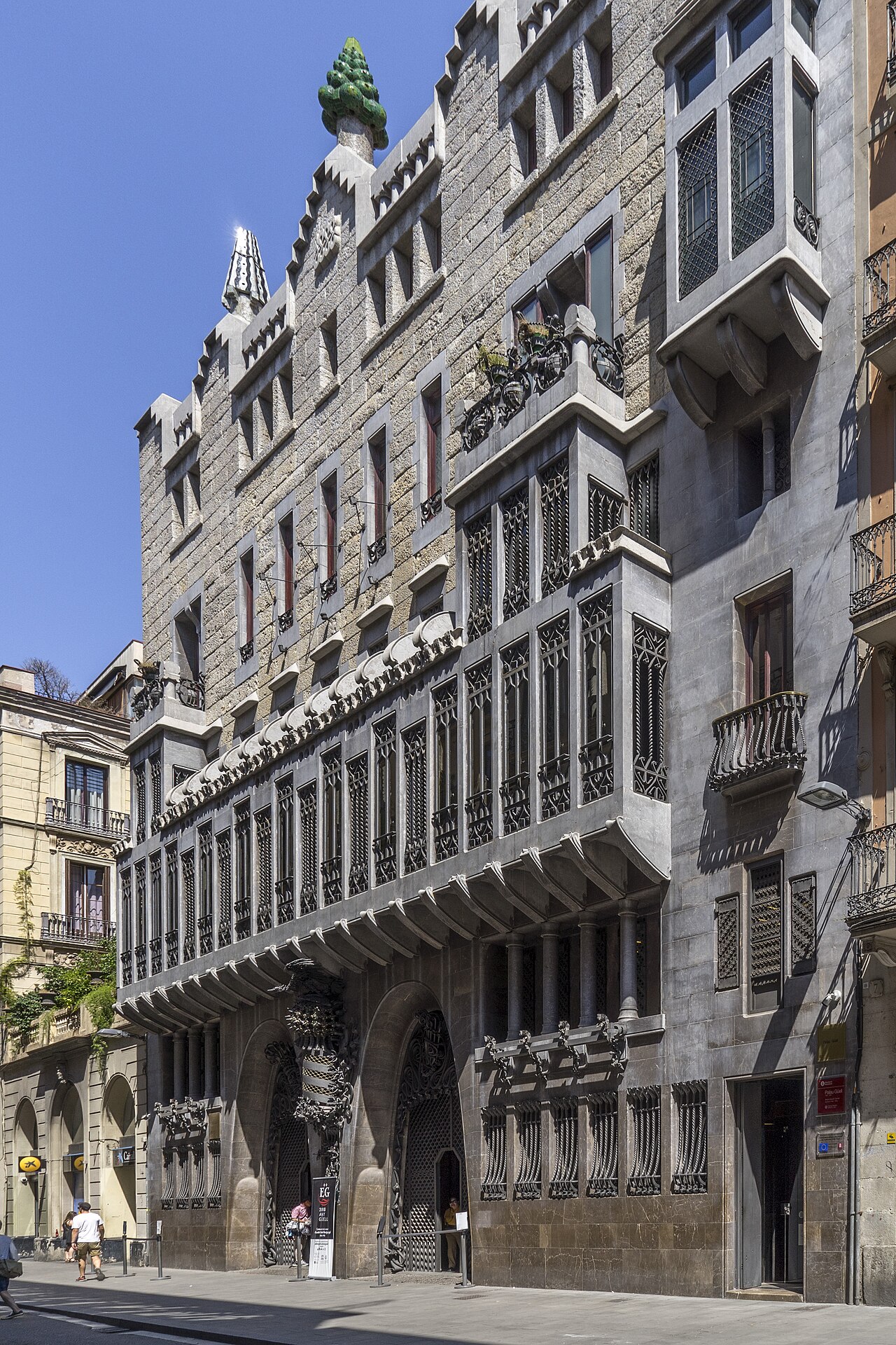
Palau Güell
Antoni Gaudí · 1886-1888
Ready when you are
Start chatting with Antonio Gaudí now.
20 messages free · No credit card · Available in 50+ languages.