


Primary sourceArtifact1516
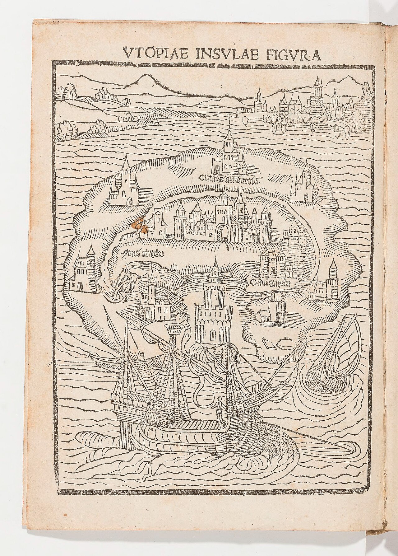
Utopia Island Map Woodcut
1516
A woodcut map of the imaginary island of Utopia from the first 1516 edition of Thomas More's book.
This woodcut map illustrates More's own book, Utopia, published during his lifetime.
About this source
What it is
This woodcut shows the crescent-shaped island of Utopia, with walled towns and rivers labelled in Latin. It appeared in the first edition of Thomas More's Utopia, printed by Dirk Martens in 1516.
Why it matters
This map helped readers picture the imaginary society More invented, a place with no private property that he used to criticize and question the politics of his own time. It shows how More combined storytelling, geography and political ideas to make his readers think differently about their own society.
Look closer
- What details on the map (towns, rivers, ships) suggest about the kind of society More imagined?
- Why might an author create a fictional map to accompany a work of political ideas?
- What might the map leave out about daily life in Utopia?
This artifact is part of the curated material that grounds the AI version of Thomas More on Humy.ai — when students ask about related events, the AI can quote it and cite it.
More Thomas More sources
Browse all 90 →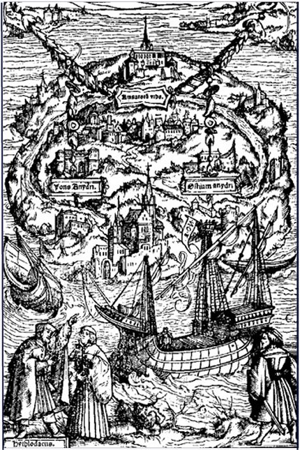 Book
Primary source
Utopia
Thomas More · 1516
 Painting
Primary source
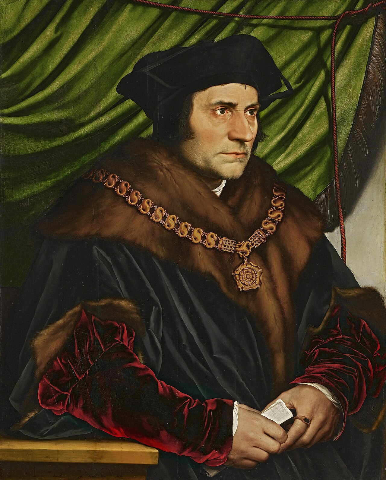
Portrait of Sir Thomas More
Hans Holbein the Younger · 1527
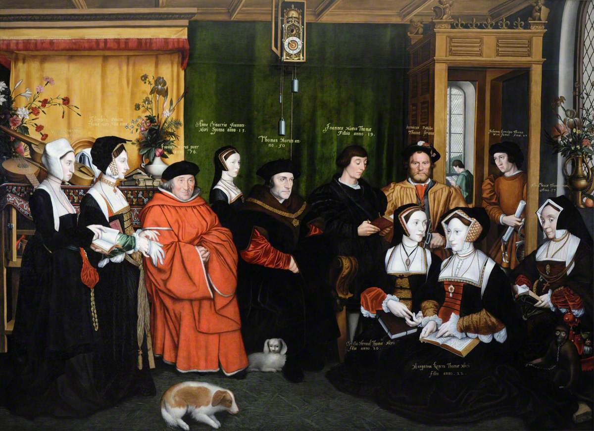
 Artifact
Primary source
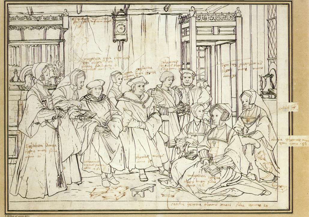
Study for the Family of Sir Thomas More
Hans Holbein the Younger · c. 1527
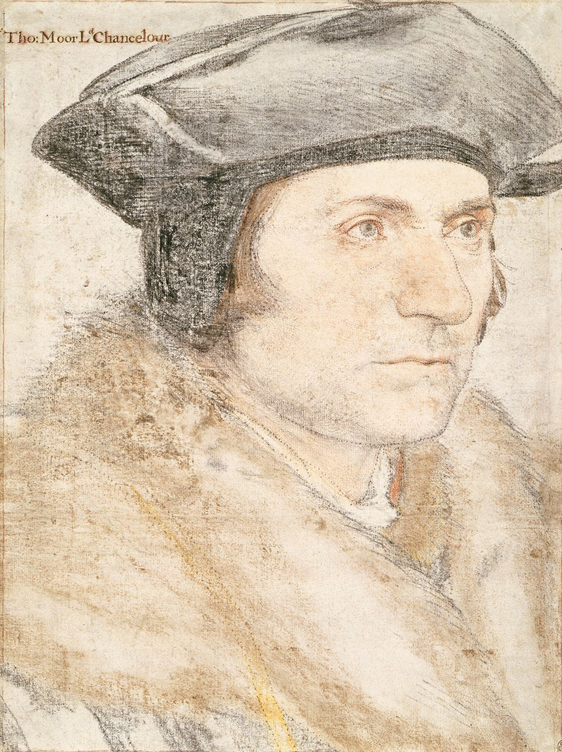 Painting
Primary source
Sir Thomas More (chalk portrait drawing)
Hans Holbein the Younger · c. 1526–1527

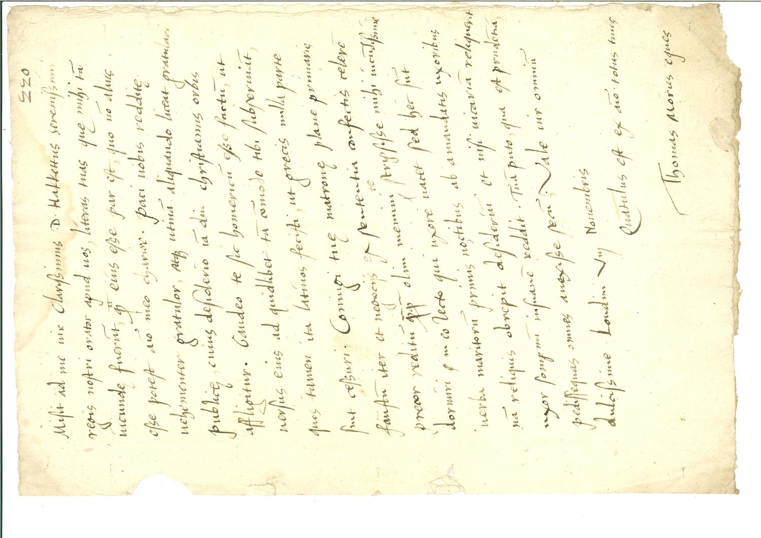
Free account
Read every Thomas More source
Sign up free →
Ready when you are
Start chatting with Thomas More now.
20 messages free · No credit card · Available in 50+ languages.