


Secondary sourcePhotograph26 July 2015
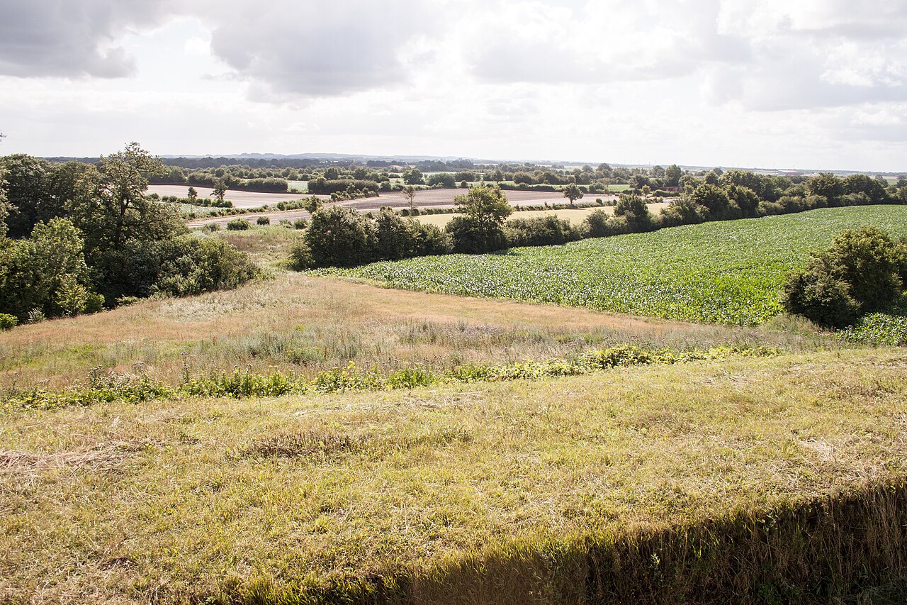
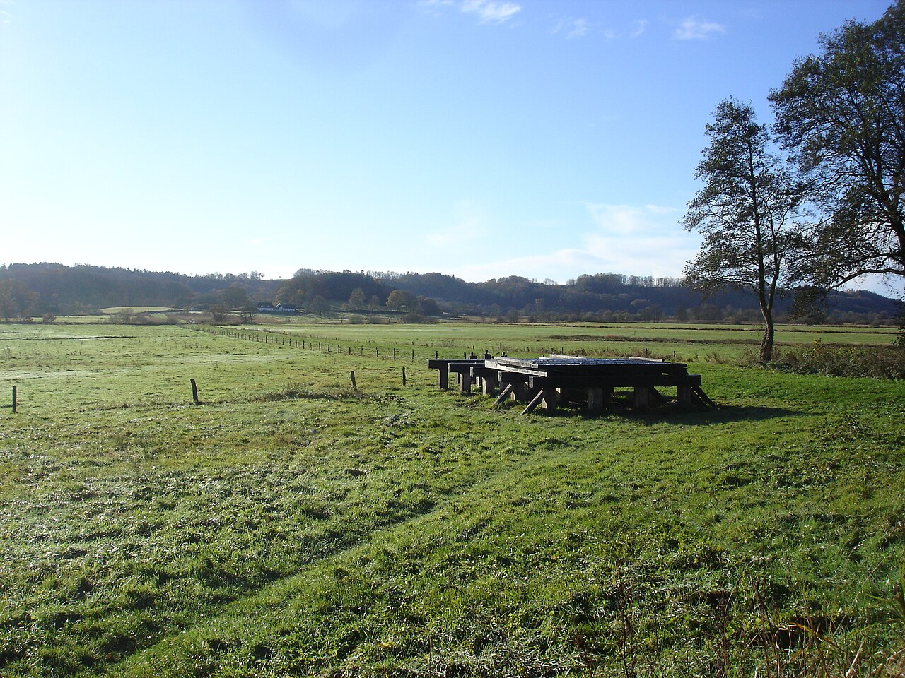
View from Danevirke Rampart XIV
Szilas · 26 July 2015
A modern photograph of the landscape around the Danevirke, the earthwork border extended during Harald Bluetooth's reign.
Shows the landscape around the Danevirke, the border earthwork linked to Harald Bluetooth's reign.
About this source
What it is
This 2015 photograph was taken from Rampart XIV of the Danevirke, looking out over the surrounding countryside. It shows fields, hedgerows and trees seen from the top of the earthwork.
Why it matters
The Danevirke marked and defended the southern edge of the Danish kingdom in Harald Bluetooth's time. Seeing the land it overlooks helps students imagine why such a barrier was built where it was.
Look closer
- Why might this location have been chosen for a defensive earthwork?
- What advantages would a high rampart give to those defending it?
- What does this peaceful farmland scene hide about the area's military past?
This photograph is part of the curated material that grounds the AI version of Harald Bluetooth on Humy.ai — when students ask about related events, the AI can quote it and cite it.
More Harald Bluetooth sources
Browse all 41 →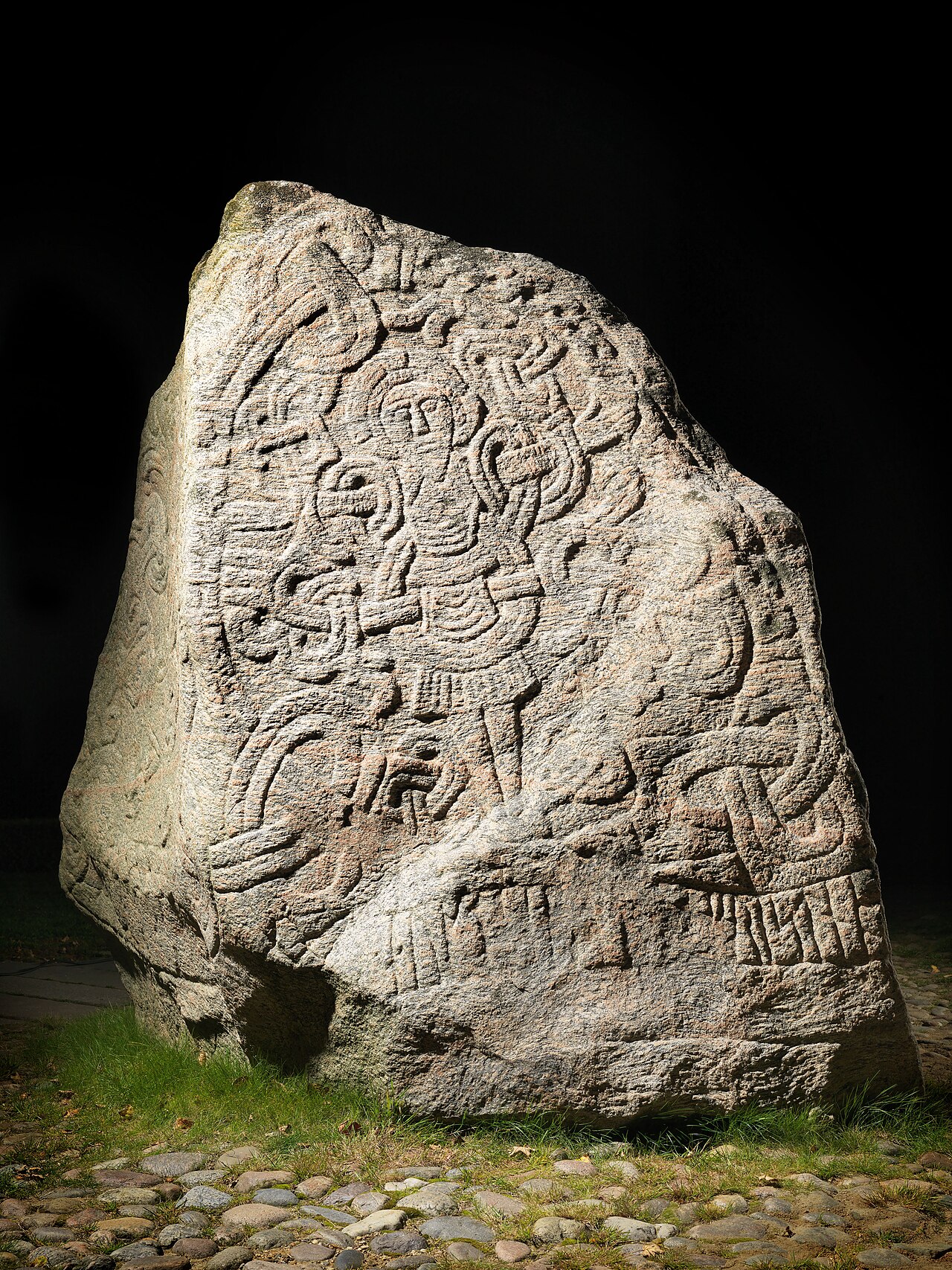 Document
Primary source
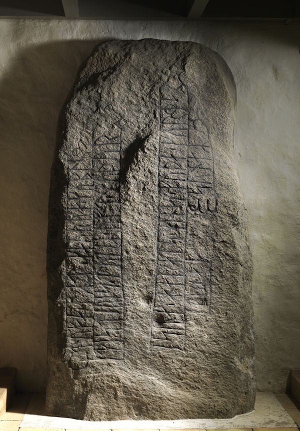
Harald's Runestone
Harald Bluetooth · c. 965
 Artifact
Primary source
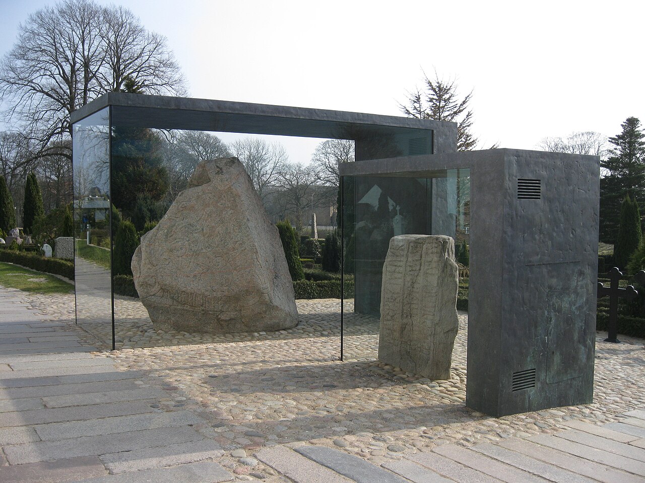
Jelling Stones
10th century
 Book
Secondary source
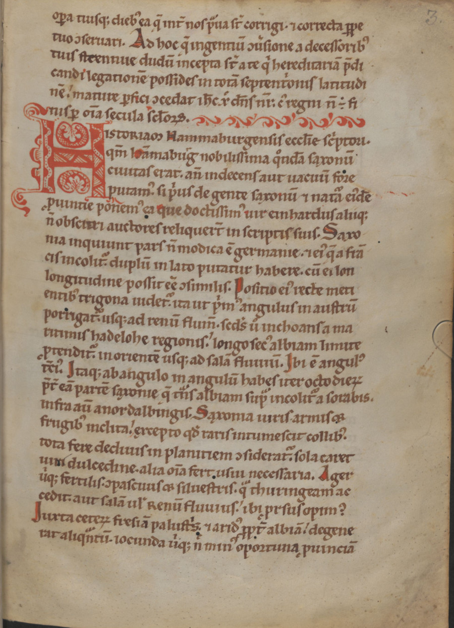
Gesta Hammaburgensis ecclesiae pontificum
Adam of Bremen · 1073-1076
 Artifact
Primary source
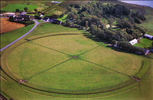
Aggersborg
c. 980
Free account
Read every Harald Bluetooth source
Sign up free →
Ready when you are
Start chatting with Harald Bluetooth now.
20 messages free · No credit card · Available in 50+ languages.