


Secondary sourcePhotograph25 May 2017
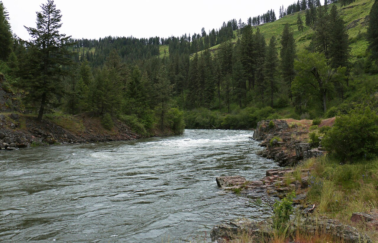
Wallowa Wild and Scenic River, BLM photograph, 2017 (seventh view)
Bureau of Land Management Oregon and Washington · 25 May 2017
A 2017 Bureau of Land Management photograph of fast water on the Wallowa River in the valley the curator links to Chief Joseph's ancestry.
Shows the Wallowa River in the valley the curator links to Chief Joseph's ancestry, which is why it appears in his archive.
About this source
What it is
This is a photograph taken by the Bureau of Land Management on 25 May 2017 at 16:23. It shows fast-flowing water on the Wallowa River in northeastern Oregon. The curator's note describes the valley as Joseph's ancestral valley. It is a modern image, not a view from Joseph's own time.
Why it matters
The Wallowa Valley is connected to Chief Joseph, a 19th-century Native American leader. The record explains that the Wallowa became a wild and scenic river on July 25, 1996, and that it remains under local and state management. The photograph shows the land as it looks today, so students can compare the present landscape with the history of the people connected to it.
Look closer
- Where does the water seem to move fastest, and what does that tell you about the river?
- Who would decide how this river is used today, and why?
- What does a photograph of water leave out about the people who lived along it?
This photograph is part of the curated material that grounds the AI version of Chief Joseph on Humy.ai — when students ask about related events, the AI can quote it and cite it.
More Chief Joseph sources
Meet the AI Chief Joseph →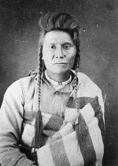 Photograph
Primary source
Chief Joseph, Three Weeks After Surrender
John Hale Fouch · 23 October 1877
 Painting
Primary source
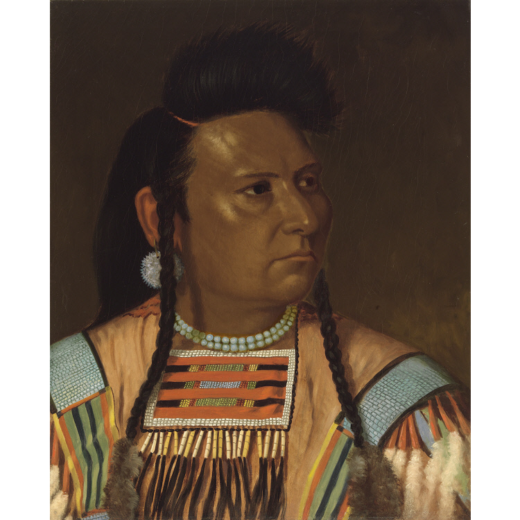
Chief Joseph
Cyrenius Hall · 1878
 Photograph
Primary source
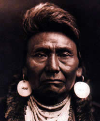
Chief Joseph (Curtis portrait)
Edward S. Curtis · c. 1903
 Photograph
Primary source
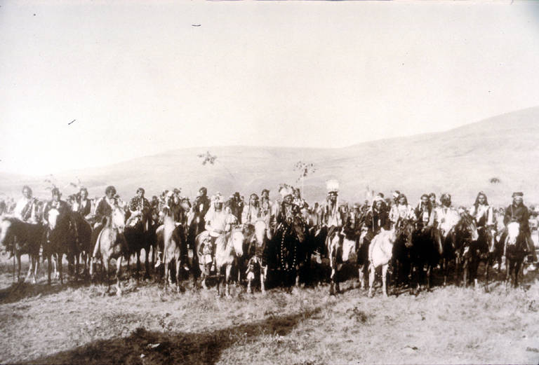
Chief Joseph's Band, Lapwai, 1877
spring 1877
 Photograph
Primary source
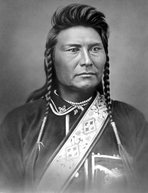
Chief Joseph, Bismarck Portrait
O. S. Goff (attributed) · November 1877
Ready when you are
Start chatting with Chief Joseph now.
20 messages free · No credit card · Available in 50+ languages.