


Primary sourcePainting1624
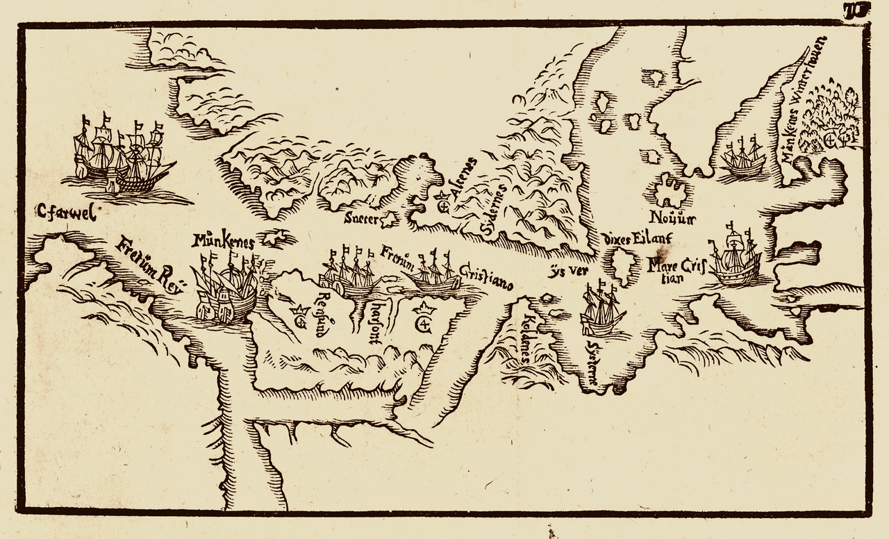
Woodcut Map of Hudson Strait and Hudson Bay
Jens Munk · 1624
A 1624 woodcut map by Danish explorer Jens Munk showing Hudson Strait and Hudson Bay, waters first charted by Henry Hudson.
Maps the strait and bay named after Hudson, showing the region he explored before Munk's later voyage.
About this source
What it is
This woodcut map was made in 1624 by the Danish explorer Jens Munk, published in his account of his 1619-1620 voyage, Navigatio Septentrionalis. It shows Hudson Strait and Hudson Bay, with place names, coastlines, and small sailing ships, and marks the site where Munk's crew overwintered.
Why it matters
These waters were explored earlier by Henry Hudson during his search for a Northwest Passage, and were later named after him. Jens Munk's map shows how other explorers followed Hudson into the same region, continuing the search he began. It reveals how European powers kept probing the same dangerous northern waters for decades.
Look closer
- Why do you think north is placed at the bottom of this map instead of the top?
- What might the small ships drawn on the map tell us about Munk's voyage?
- How does this map help us understand why Hudson's own explorations mattered to later sailors?
This painting is part of the curated material that grounds the AI version of Henry Hudson on Humy.ai — when students ask about related events, the AI can quote it and cite it.
More Henry Hudson sources
Meet the AI Henry Hudson → Diary entry
Primary source
Robert Juet's Journal of the Third Voyage of Henry Hudson
Robert Juet · 1609 (printed 1625)
 Document
Secondary source
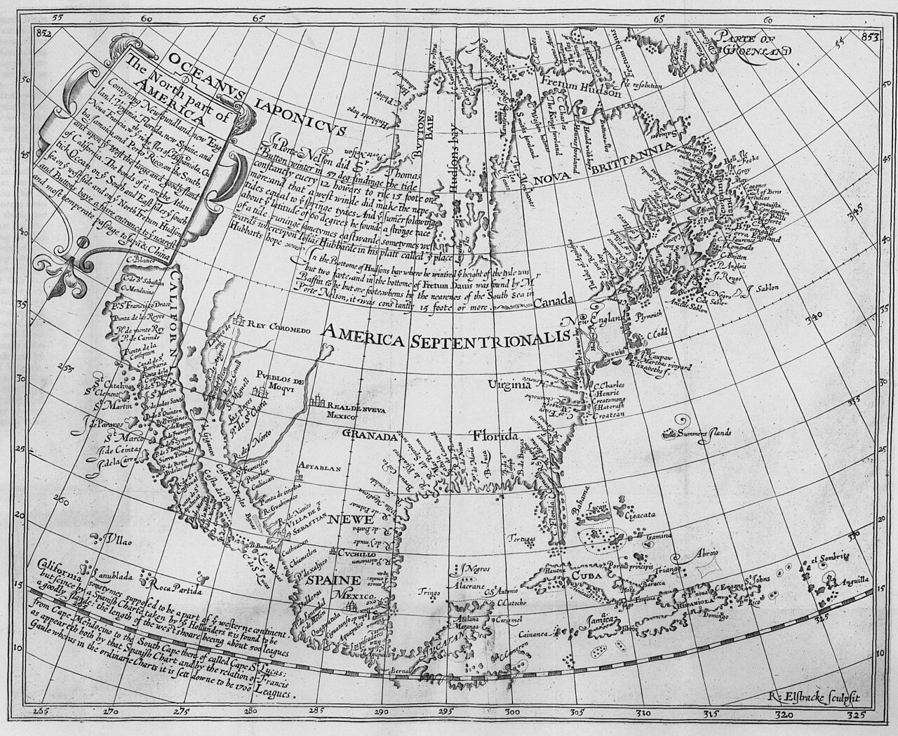
The North Part of America
Henry Briggs · 1625
Secondary source
Hakluytus Posthumus, or Purchas His Pilgrimes
Samuel Purchas · 1625
 Sculpture
Secondary source
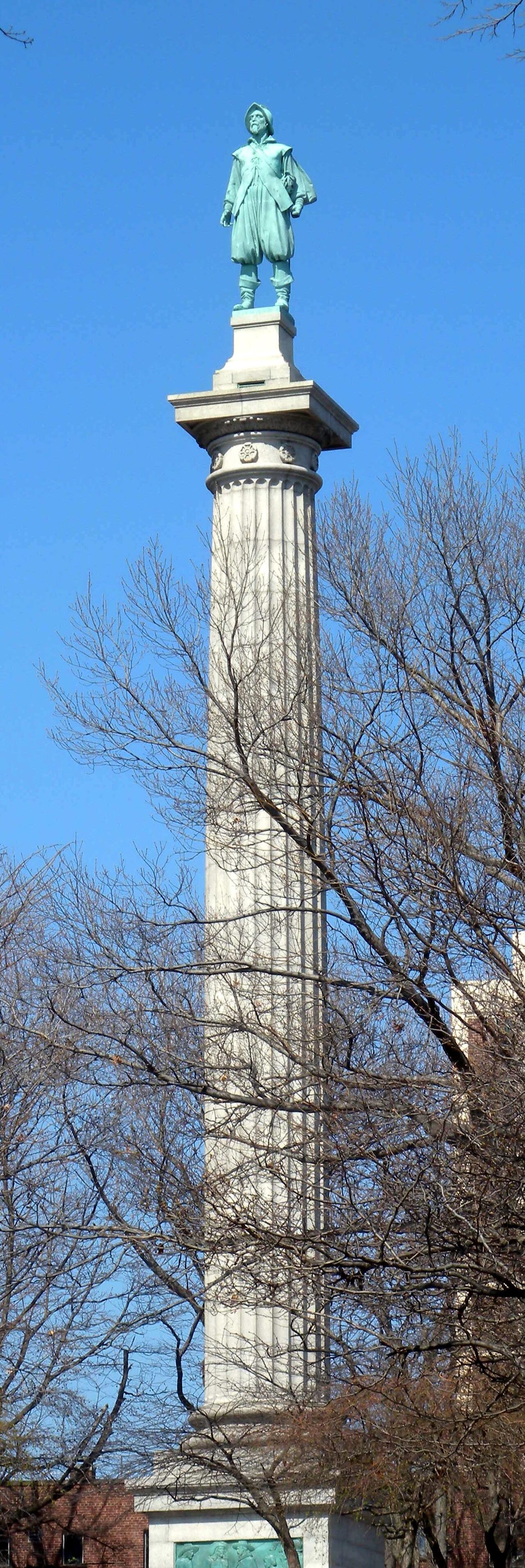
Henry Hudson Memorial (Henry Hudson Park monument)
Karl Gruppe (statue, from a model by Karl Bitter); Walter Cook (column design) · 1938
 Painting
Secondary source
Last Voyage Of Henry Hudson
John Collier · 1881
Ready when you are
Start chatting with Henry Hudson now.
20 messages free · No credit card · Available in 50+ languages.