


Secondary sourceDocument1650
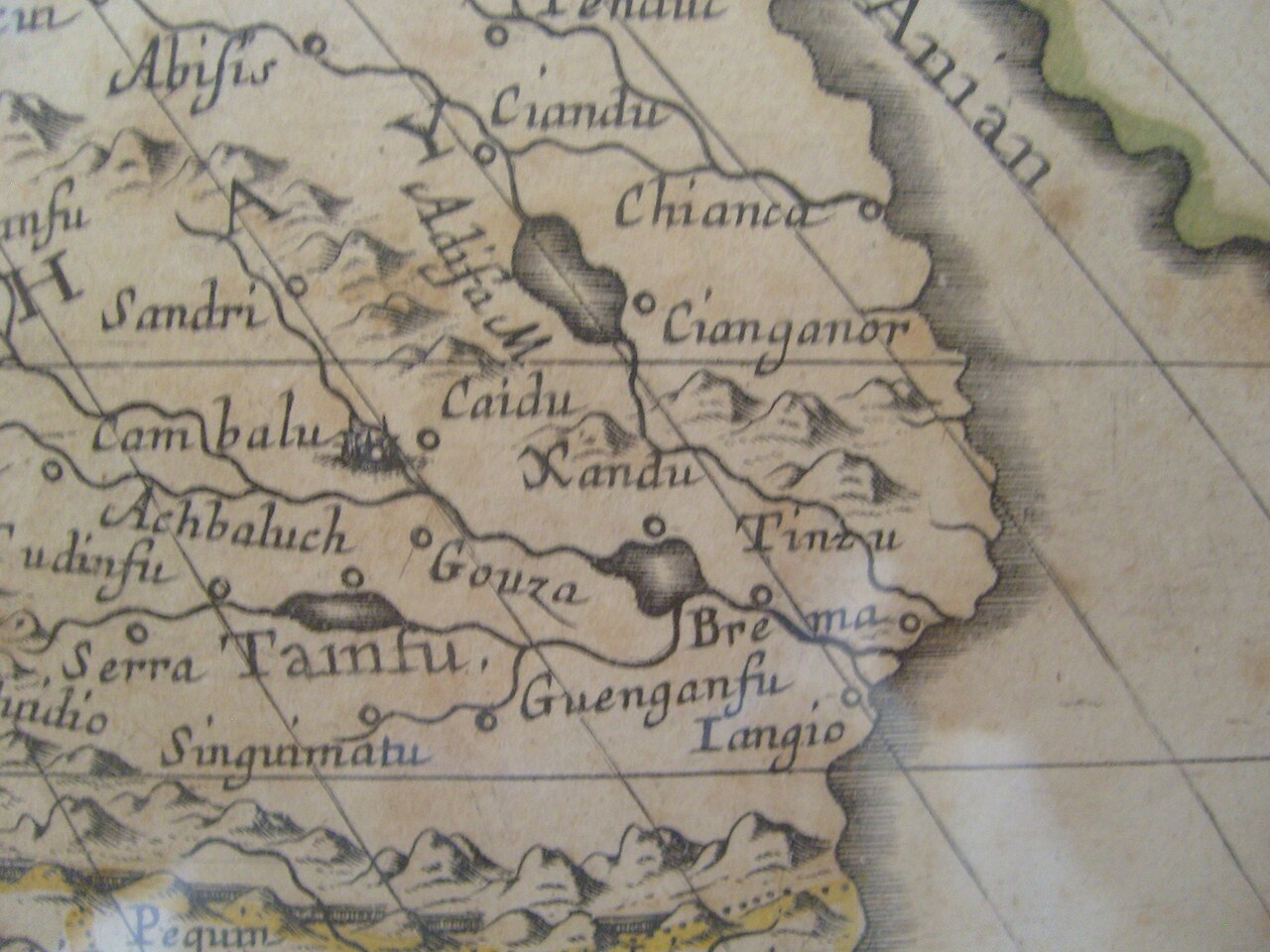
Xanadu on Map of Asia
Nicolas Sanson · 1650
A 1650 European map marking Xanadu, the summer capital of Kublai Khan, showing how Marco Polo's account shaped Western geography of Asia.
This later European map still marks Kublai Khan's summer capital Xanadu, showing his lasting fame in the West.
About this source
What it is
This is a detail from a map of Asia made in 1650 by Nicolas Sanson, geographer to King Louis XIV of France. It marks the place name 'Ciandu' (Xanadu), along with Cambalu, Pequin and other cities, mountains and rivers across Asia.
Why it matters
Xanadu was the summer capital of Kublai Khan, described vividly by the traveler Marco Polo. This map, made centuries after Kublai's death and when Xanadu had long been in ruins, shows how Marco Polo's account fixed Xanadu's place in European geography. The map also contains errors common to its time, such as showing Cambalu and Pequin (both referring to the same city, Kublai's capital) as separate places.
Look closer
- Why would a mapmaker in 17th-century France still include a ruined Mongol capital on his map?
- What does the mapmaker's mistake about Cambalu and Pequin reveal about how reliable this kind of source can be?
- Why might the name Xanadu have remained famous in Europe for centuries after Kublai Khan's death?
This document is part of the curated material that grounds the AI version of Kublai Khan on Humy.ai — when students ask about related events, the AI can quote it and cite it.
More Kublai Khan sources
Browse all 81 →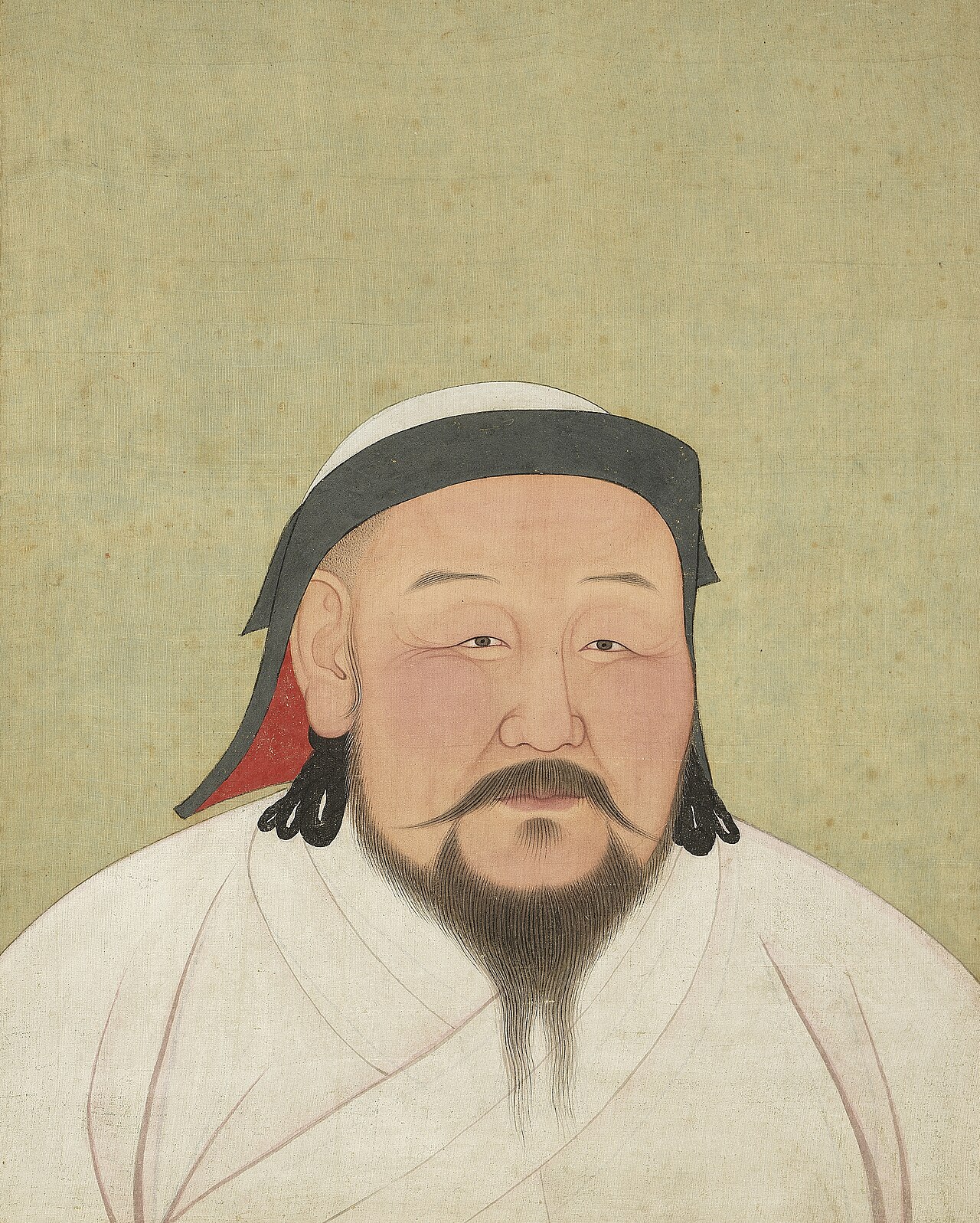 Painting
Secondary source
Portrait of Kublai Khan
Circle of Anige
 Book
Primary source
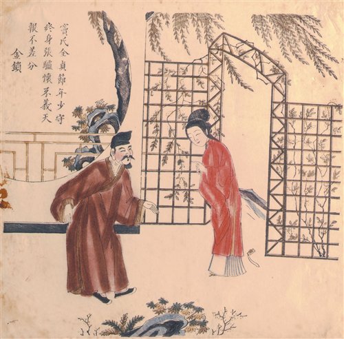
The Injustice to Dou E
Guan Hanqing · 1292
 Book
Secondary source
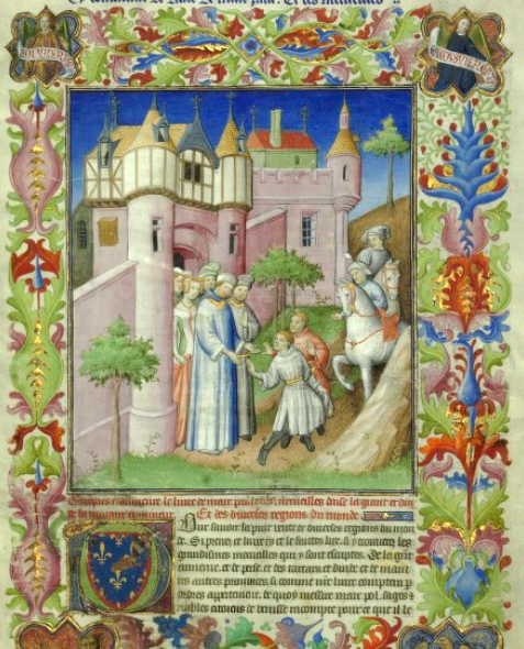
The Travels of Marco Polo
Rustichello da Pisa · 1298
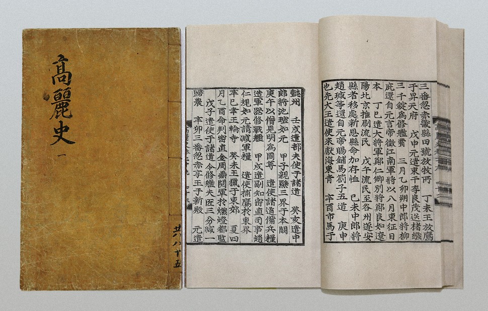 Book
Primary source
Goryeosa
Chŏng Inji · completed 1451
Free account
Read every Kublai Khan source
Sign up free →
Ready when you are
Start chatting with Kublai Khan now.
20 messages free · No credit card · Available in 50+ languages.