


Secondary sourceDocument
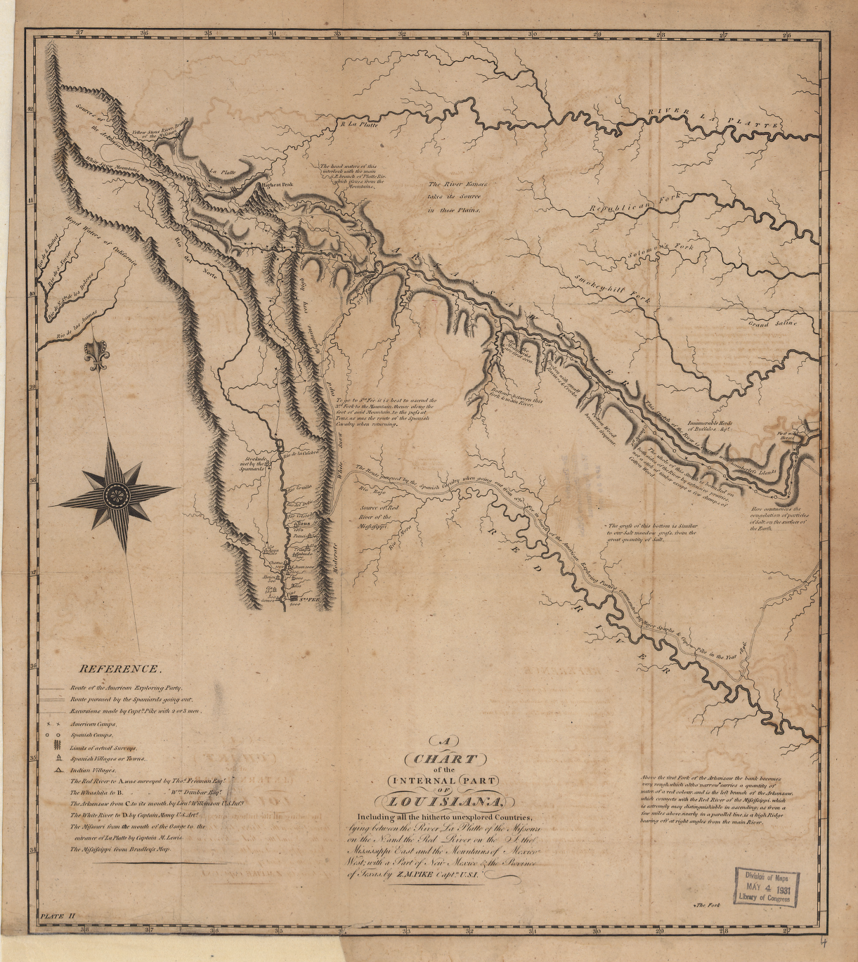
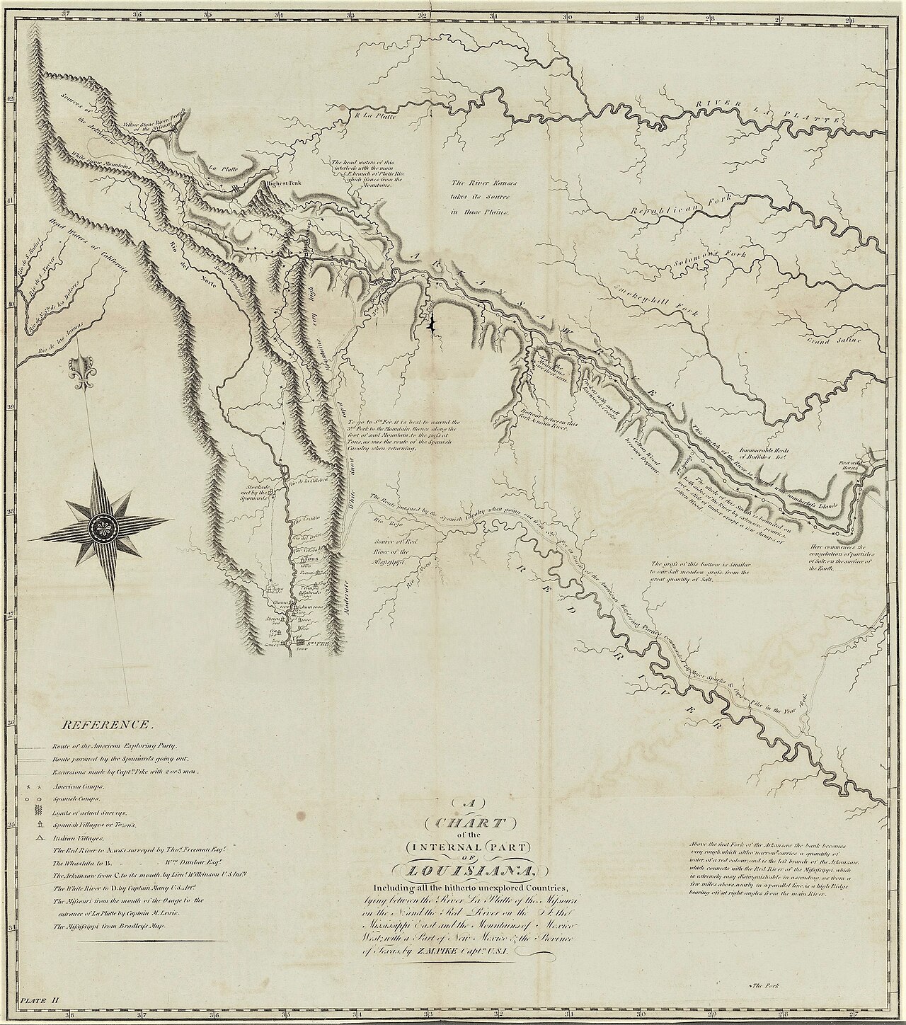
Zebulon Pike Map
An engraved map credited to Z. M. Pike showing part of Louisiana, though the record gives no clear date or detail of its origin.
A map credited to Pike, reflecting his role as an explorer and mapmaker of Louisiana Territory.
About this source
What it is
This is an antique engraved map titled 'A Chart of the Internal Part of Louisiana,' credited to Z. M. Pike, Captain U.S. It shows rivers, mountain ranges, a compass rose, and a reference legend, with a Division of Maps stamp dated 1931.
Why it matters
Zebulon Pike led expeditions exploring parts of the Louisiana Purchase territory in the early 1800s, mapping rivers and terrain for the U.S. government. Maps bearing his name were part of how the United States came to understand and claim this vast new territory. However, the surviving record here gives no further detail about when exactly this particular map was made or printed.
Look closer
- Why might a mapmaker attach an explorer's name and rank to a published map?
- What does the map choose to show, and what might it leave out, such as the people already living there?
- How can a stamp added later, like the 1931 archive stamp, help or complicate our understanding of a map's history?
This document is part of the curated material that grounds the AI version of Zebulon Pike on Humy.ai — when students ask about related events, the AI can quote it and cite it.
More Zebulon Pike sources
Meet the AI Zebulon Pike →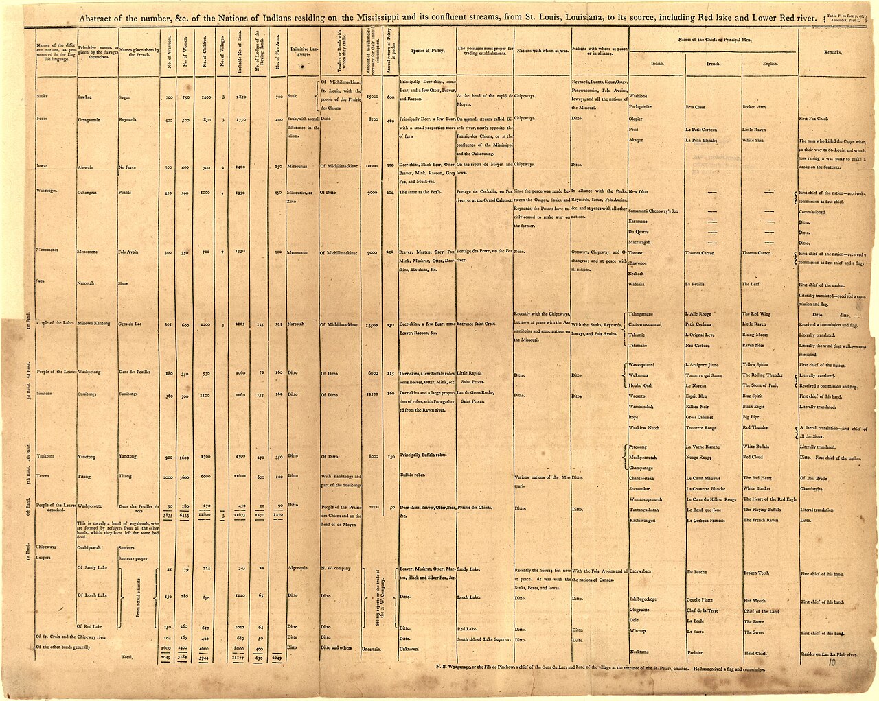 Book
Primary source
An Account of Expeditions to the Sources of the Mississippi, and through the Western Parts of Louisiana
Zebulon Montgomery Pike · 1810
 Artifact
Secondary source
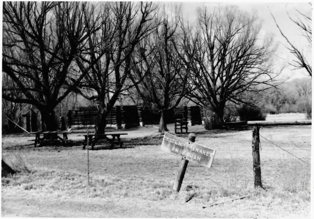
Pike's Stockade
Zebulon Pike's expedition · 1807 (reconstructed later)
 Painting
Primary source
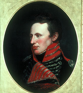
Portrait of Zebulon Pike
Charles Willson Peale
 Artifact
Primary source
A Chart of the Internal Part of Louisiana
Zebulon Pike · 1810
 Artifact
Secondary source
USS General Pike
Henry Eckford · 1813
Ready when you are
Start chatting with Zebulon Pike now.
20 messages free · No credit card · Available in 50+ languages.