


Primary sourceDocument1608
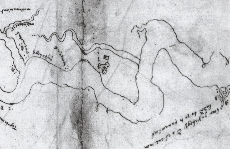
Zuniga Map of James Fort
1608
A 1608 manuscript map, thought to copy a sketch by Smith, showing the only contemporary plan of James Fort.
Possibly based on a sketch by Smith, this is the only surviving contemporary plan of James Fort, which Smith helped build.
About this source
What it is
This 1608 manuscript map was sent by the Spanish ambassador Pedro de Zúñiga to King Philip III of Spain. It is believed to be based on a sketch made by John Smith, and it is the only known seventeenth-century map showing the layout of James Fort.
Why it matters
The map reveals how closely European rivals watched the new English colony — Spain wanted to know exactly where and how Jamestown was built. If it does come from Smith's own sketch, it connects him directly to this unique record of the fort he helped establish.
Look closer
- Why would a Spanish ambassador want a detailed map of an English fort?
- What can a map like this tell us that a written account cannot?
- What questions does it raise that we cannot answer, since the original source of the sketch is uncertain?
This document is part of the curated material that grounds the AI version of John Smith on Humy.ai — when students ask about related events, the AI can quote it and cite it.
More John Smith sources
Browse all 84 →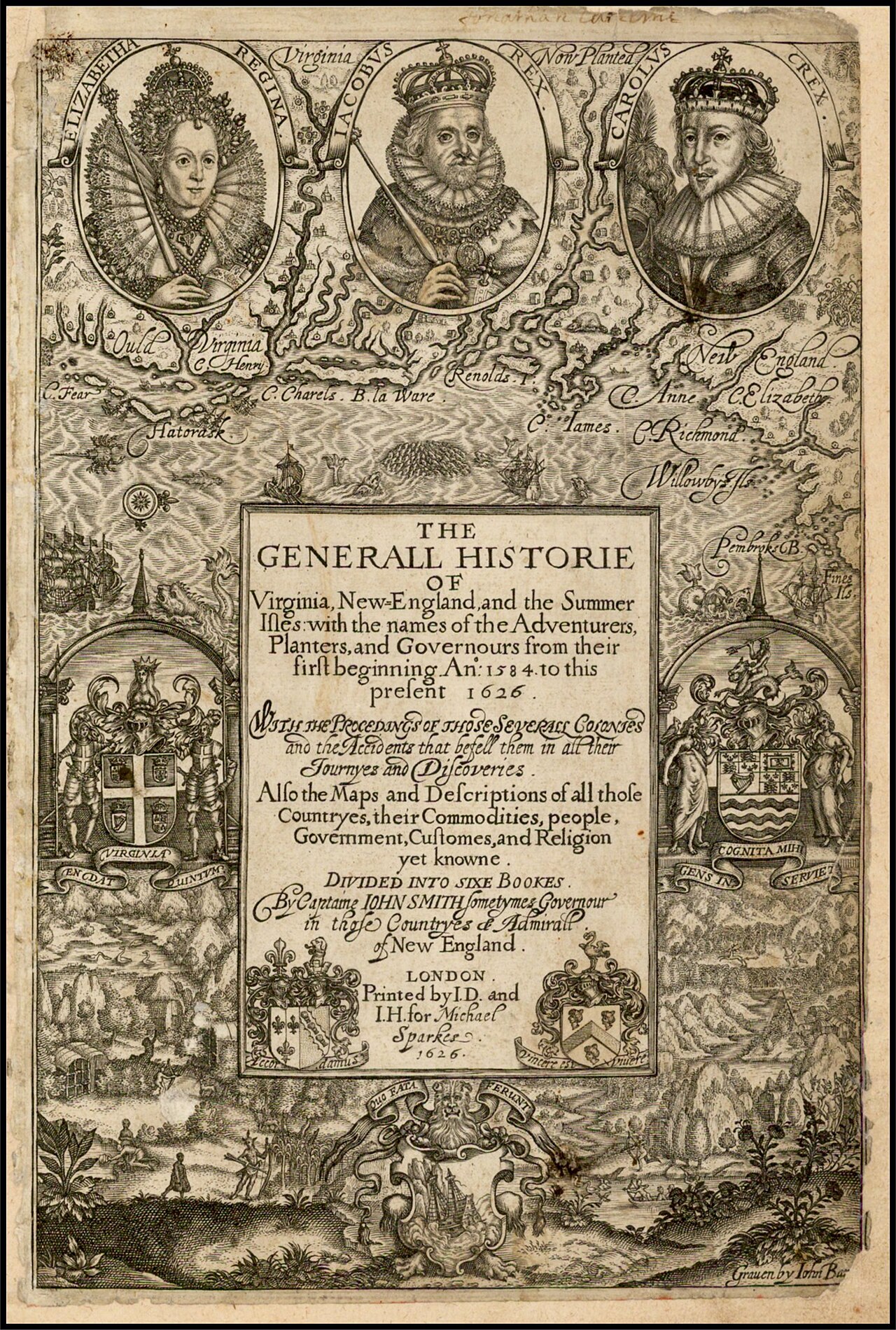 Book
Primary source
The Generall Historie of Virginia, New-England, and the Summer Isles
John Smith · 1624
Primary source
To the Most High and Virtuous Princess
John Smith · 1616
 Document
Primary source
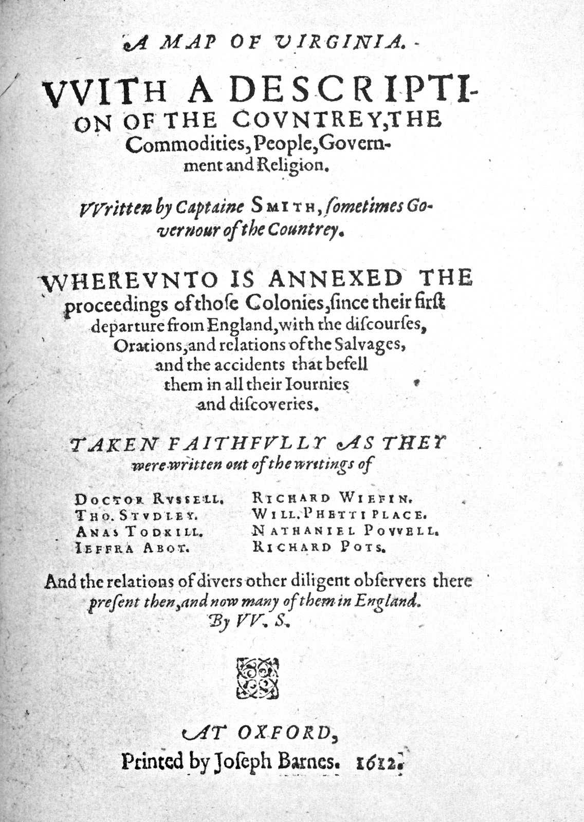
A Map of Virginia
John Smith · 1612
 Book
Primary source
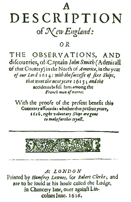
A Description of New England
John Smith · 1616
Free account
Browse every John Smith source
Sign up free →
Ready when you are
Start chatting with John Smith now.
20 messages free · No credit card · Available in 50+ languages.