


Primary sourceDocument1781
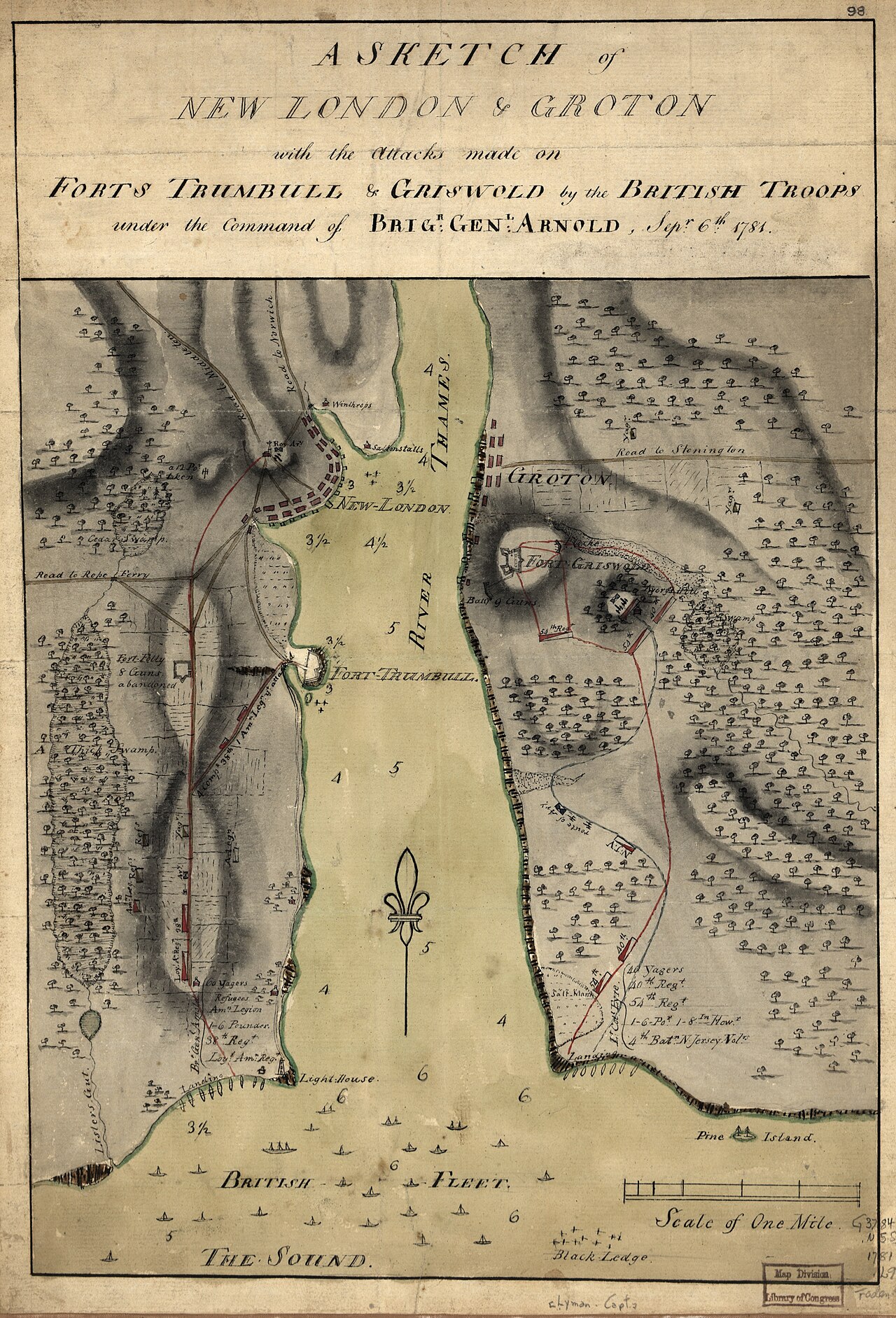
A Sketch of New London & Groton
Daniel Lyman · 1781
A contemporary military sketch map of the 1781 raid on New London and Groton led by Benedict Arnold.
This map traces the 1781 raid that Arnold led against New London and Groton, near his hometown.
About this source
What it is
This hand-drawn, colored sketch map by Daniel Lyman shows the harbor of New London, Connecticut, and the attacks on Forts Trumbull and Griswold carried out by British troops under Brigadier General Benedict Arnold in September 1781. It marks the Thames River, the British fleet, troop positions and terrain.
Why it matters
This raid, which included the Battle of Groton Heights, took place near Arnold's own hometown and is remembered as one of the most destructive actions of his service for the British after his defection. The map shows how military sketches were used to record and plan troop movements, and it documents Arnold's role as a British commander turned against the land he once defended.
Look closer
- Why might Lyman have made this sketch at the time, rather than later?
- What do the troop positions and fleet markings tell you about the scale of the attack?
- Does the map show anything about the human cost of the raid, or only military movements?
This document is part of the curated material that grounds the AI version of Benedict Arnold on Humy.ai — when students ask about related events, the AI can quote it and cite it.
More Benedict Arnold sources
Meet the AI Benedict Arnold →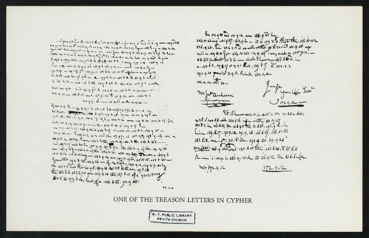 Letter
Primary source
Arnold Treason Cipher Letter
Benedict Arnold; Peggy Shippen Arnold · 1780
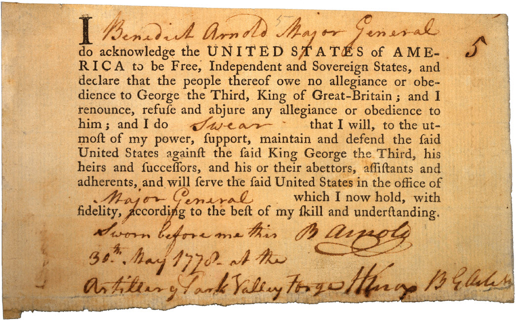 Document
Primary source
Benedict Arnold's Oath of Allegiance
Continental Congress · 30 May 1778
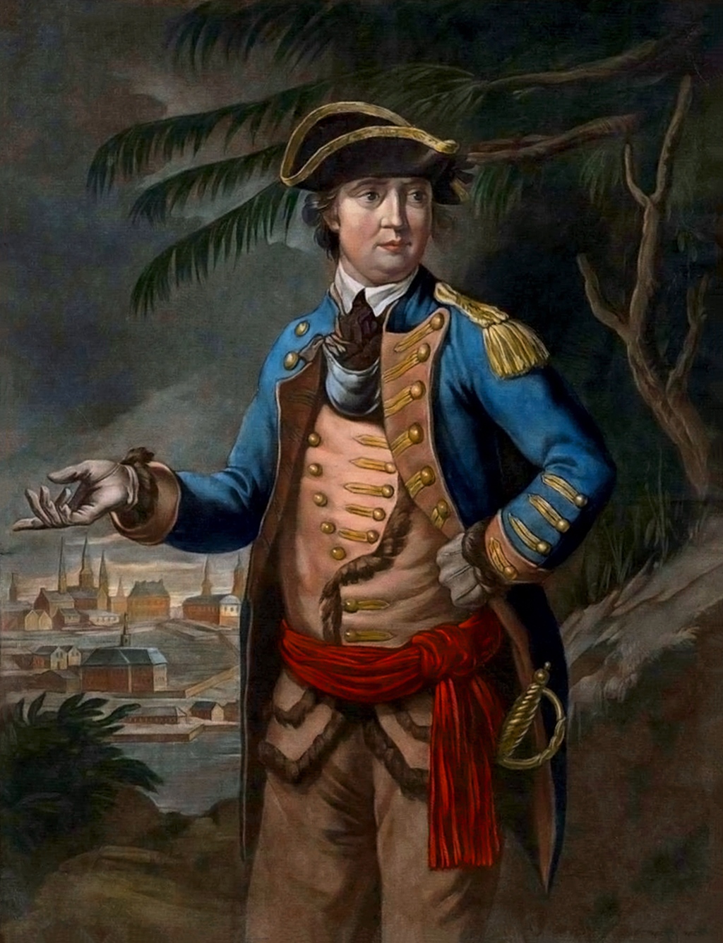 Painting
Primary source
Portrait of Benedict Arnold
Thomas Hart · 26 March 1776
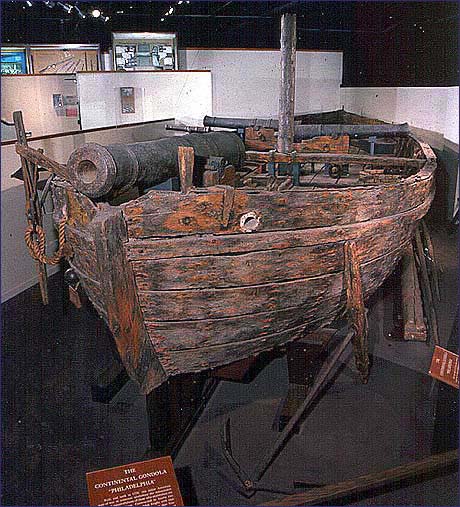 Artifact
Primary source
USS Philadelphia
1776
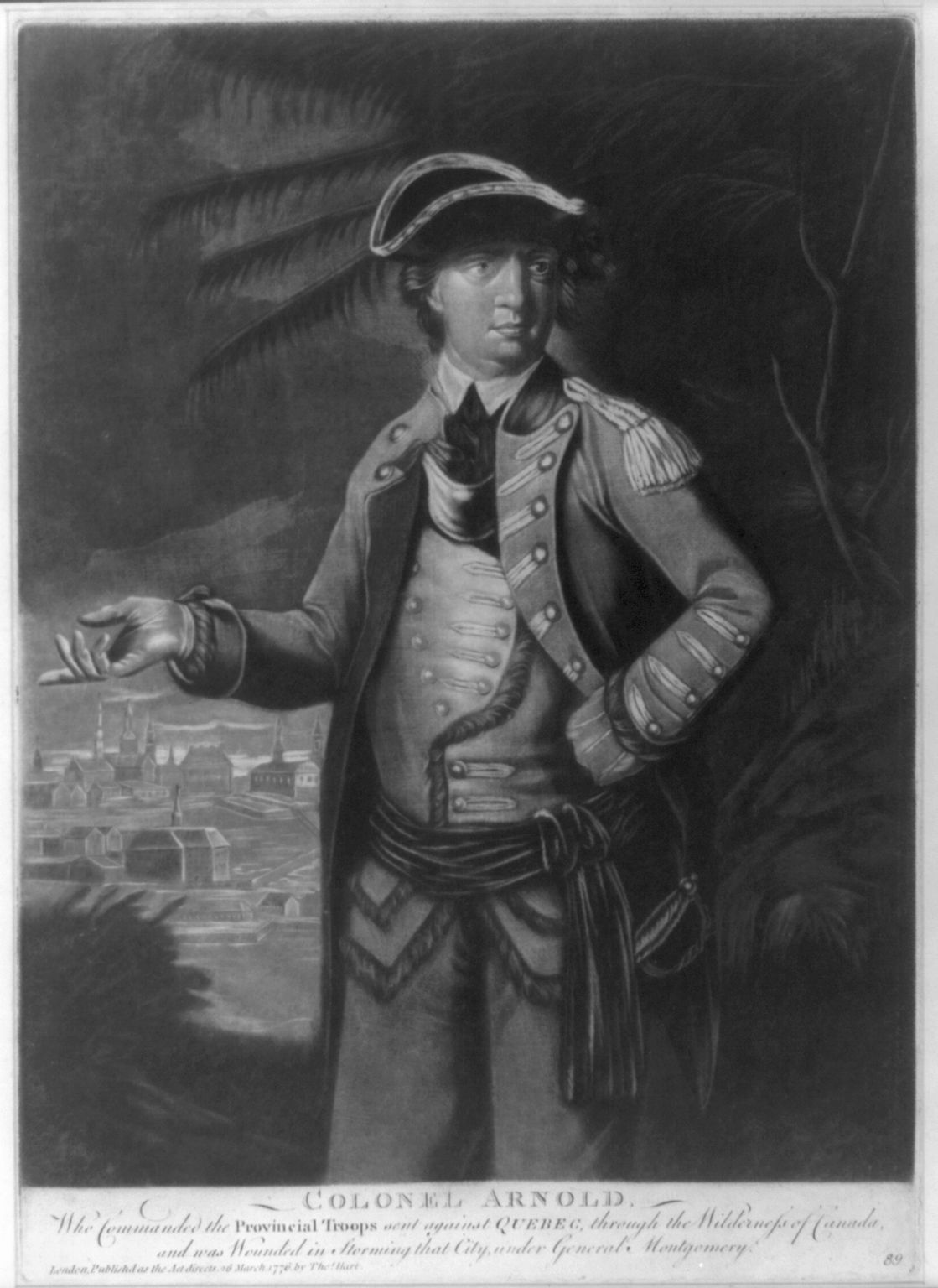 Painting
Primary source
Colonel Arnold
Thomas Hart · 1776
Ready when you are
Start chatting with Benedict Arnold now.
20 messages free · No credit card · Available in 50+ languages.