


Primary sourceArtifact1029
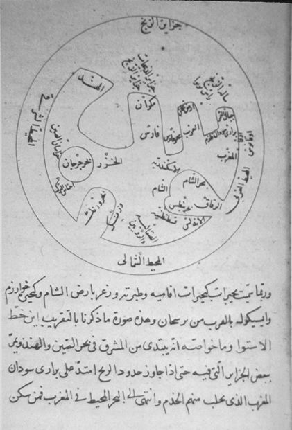
Al-Biruni's World Map of the Distribution of Land and Sea
Al-Biruni · 1029
A south-oriented circular map by Al-Biruni showing his view of the continents surrounded by ocean.
This map represents Al-Biruni's own geographical thinking, part of his broader scientific writings.
About this source
What it is
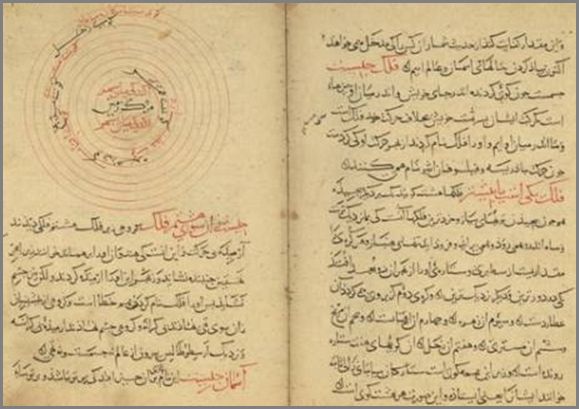
This circular diagram, from the tradition of Al-Biruni's Kitab al-Tafhim, shows his conception of the inhabited world. It is oriented with south at the top and depicts the landmasses encircled by an ocean, labelled with Arabic terms including the northern sea and the word for south.
Why it matters
The map shows how Al-Biruni and scholars of his time visualised geography, combining observation and theory about the shape of the Earth's landmasses and seas. Such diagrams were important tools for teaching astronomy and geography together.
Look closer
- Why might this map be oriented with south at the top instead of north?
- What does the ring-shaped ocean suggest about how the world's geography was understood at the time?
- What parts of the world might be missing or inaccurate compared to maps today?
This artifact is part of the curated material that grounds the AI version of Al-Biruni on Humy.ai — when students ask about related events, the AI can quote it and cite it.
More Al-Biruni sources
Meet the AI Al-Biruni →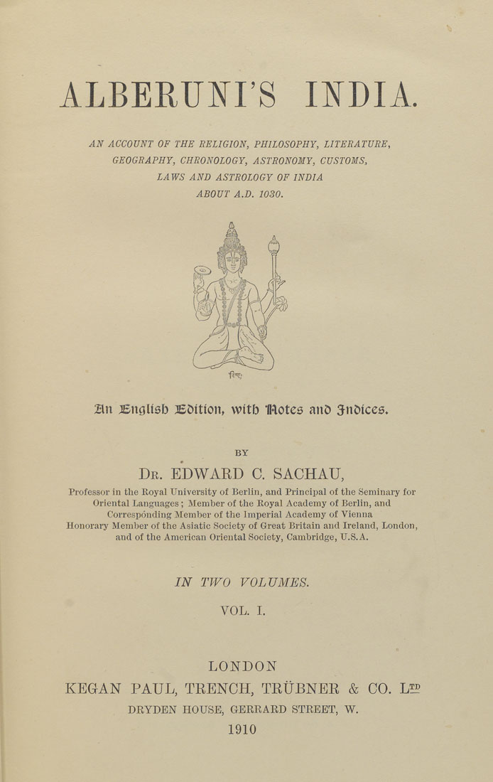 Book
Primary source
Al-Biruni's India
Al-Biruni · c. 1030
 Book
Primary source
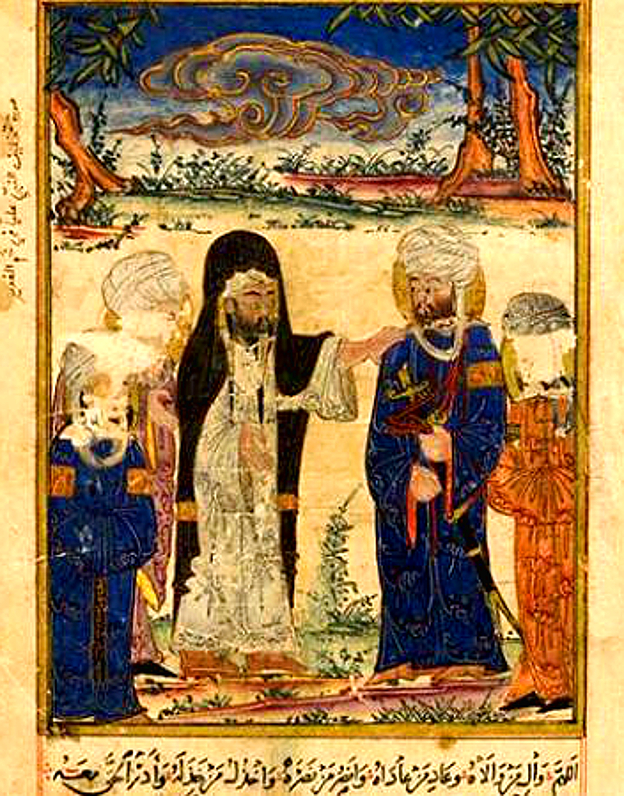
The Remaining Signs of Past Centuries
Al-Biruni · c. 1000, illustrated copy 1307-1308
 Artifact
Primary source
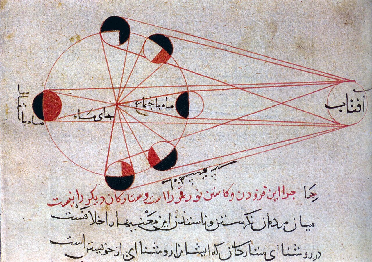
Diagram of the Phases of the Moon
Al-Biruni
 Book
Primary source
Page from the Oldest Manuscript of the Tafhim
Al-Biruni
 Book
Secondary source
Tarikh-e Beyhaqi
Abul-Fazl Bayhaqi · 11th century CE
Ready when you are
Start chatting with Al-Biruni now.
20 messages free · No credit card · Available in 50+ languages.