


Primary sourceDocument1781
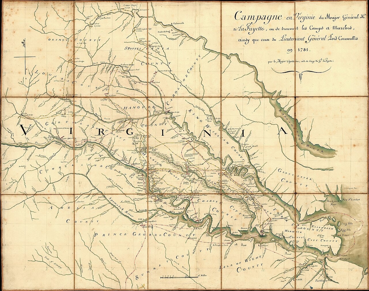
Campaign of the Marquis de Lafayette in Virginia, 1781
Michel Capitaine Du Chesnoy · 1781
A 1781 French manuscript map of Lafayette's Virginia campaign, the operation for which the figure spied as a double agent.
This map charts the Virginia campaign the figure spied for, passing intelligence to Lafayette's forces.
About this source
What it is
This hand-drawn 1781 map, made by Michel Capitaine Du Chesnoy for the Marquis de Lafayette, covers central Virginia and shows roads, rivers, houses and camp routes, with notes in French describing the dates of military actions during the Yorktown campaign.
It is held in a Library of Congress map collection, sectioned into panels mounted on cloth.
Why it matters
The map traces the movements of Lafayette's army against Cornwallis's forces in Virginia. James Armistead posed as a servant and spy inside British lines during this campaign, passing information to Lafayette that helped track British movements shown on maps like this one.
Look closer
- What kinds of landmarks, like taverns and churches, did the mapmaker think were useful to note?
- Why are the notes written in French while place-names are in English?
- How might the intelligence gathered by a spy have shaped the routes drawn here?
This document is part of the curated material that grounds the AI version of James Armistead Lafayette on Humy.ai — when students ask about related events, the AI can quote it and cite it.
More James Armistead Lafayette sources
Meet the AI James Armistead Lafayette →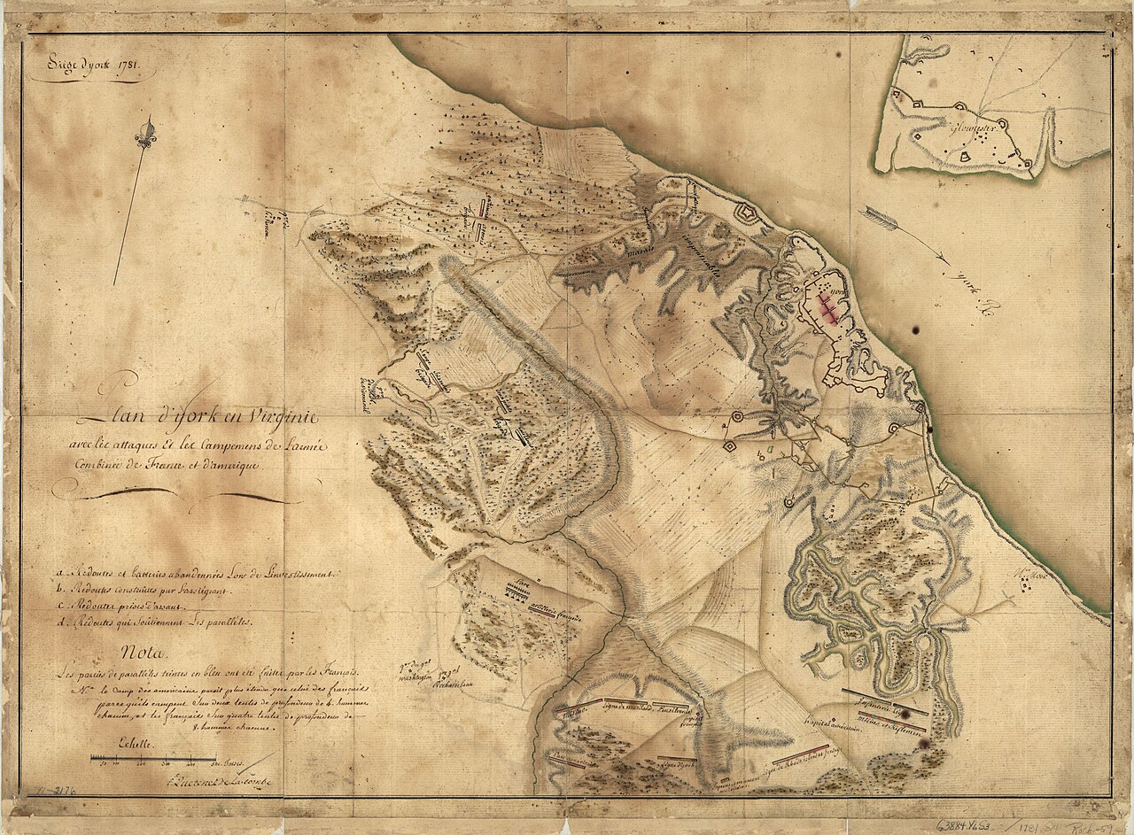 Document
Primary source
Siege of York, 1781: Plan of Franco-American Siege Works
Querenet De La Combe · 1781
 Document
Primary source
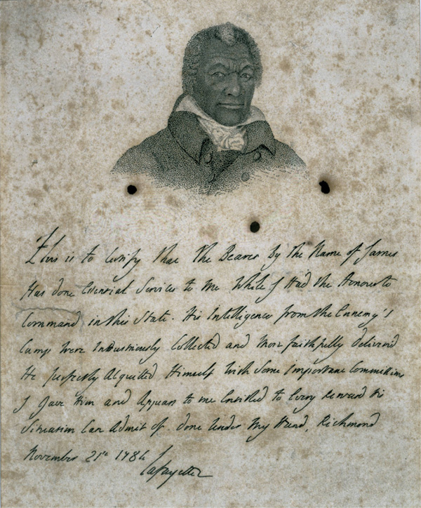
Certificate for James Armistead Lafayette
Marquis de Lafayette · 21 November 1784
 Document
Primary source
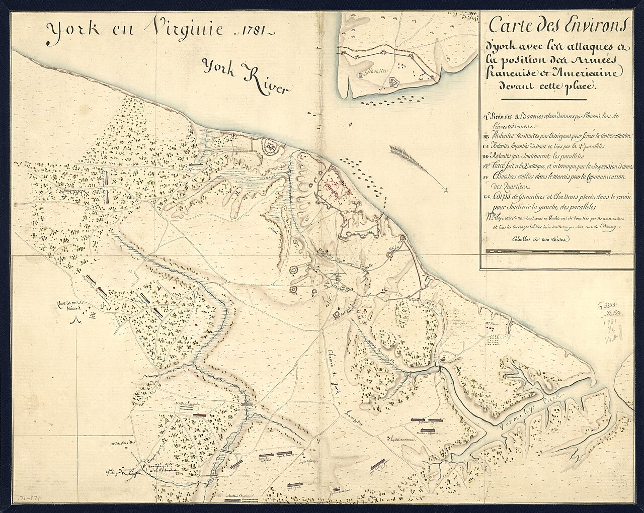
York en Virginie, 1781: Map of Franco-American Positions at York
1781
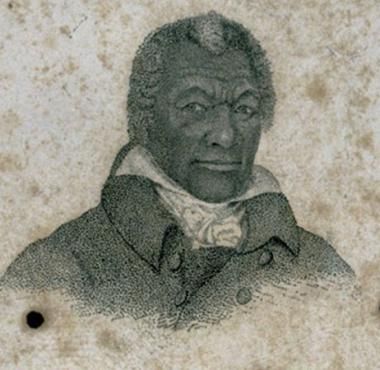 Painting
Primary source
Portrait of James Armistead Lafayette
John B. Martin · c. 1824
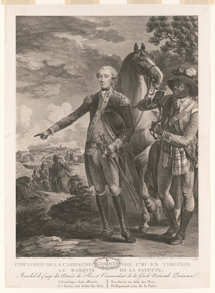 Painting
Primary source
Conclusion de la campagne de 1781 en Virginie (Lafayette and Attendant)
Noël Le Mire, after Jean-Baptiste Le Paon · c. 1781-1785
Ready when you are
Start chatting with James Armistead Lafayette now.
20 messages free · No credit card · Available in 50+ languages.