


Primary sourceDocument1781
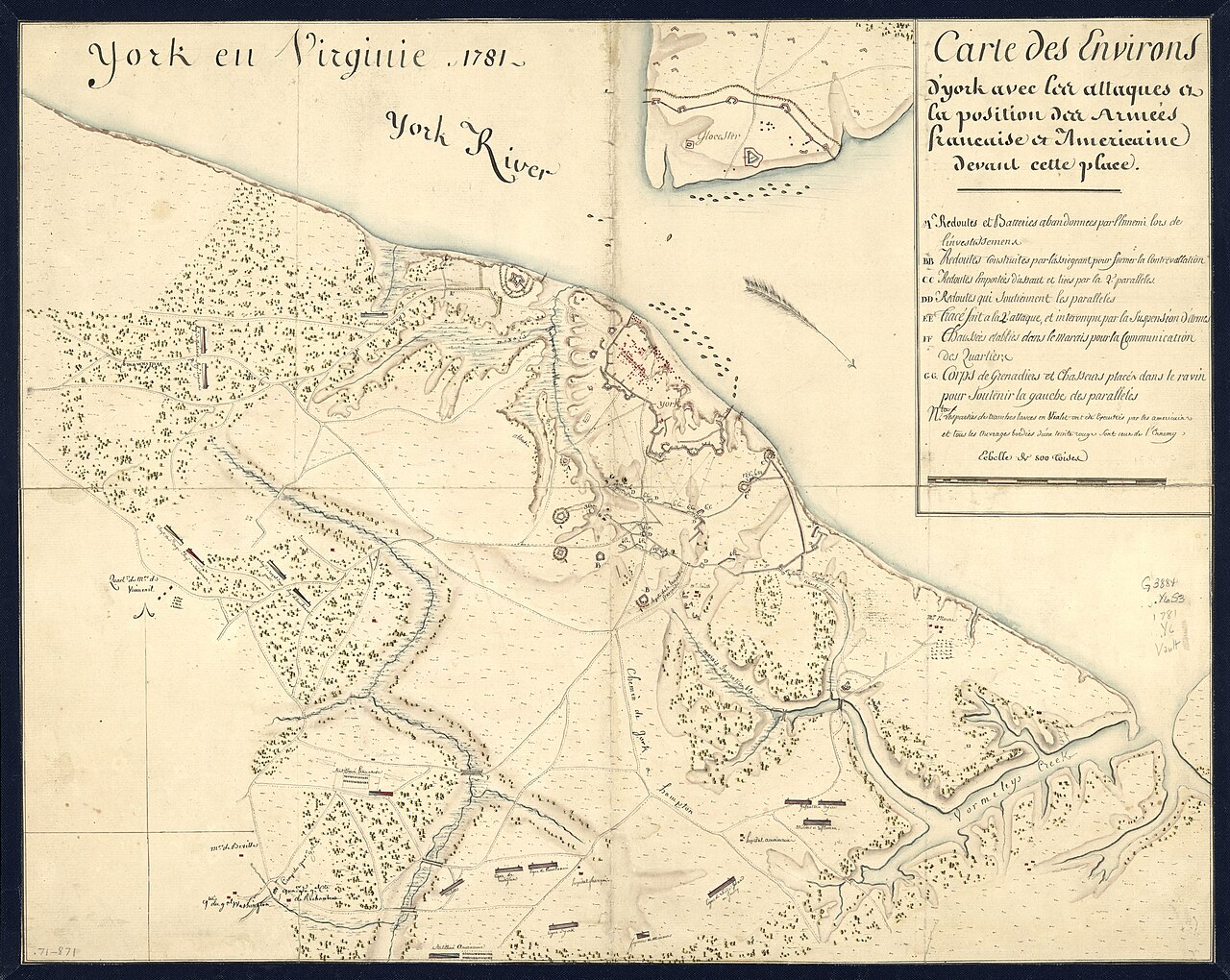
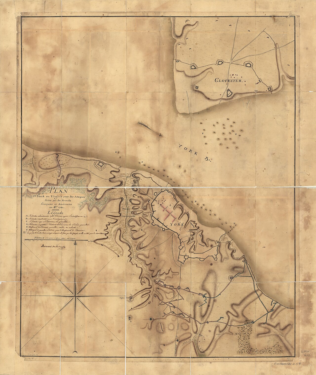
York en Virginie, 1781: Map of Franco-American Positions at York
1781
A contemporary manuscript map of the area around Yorktown showing the attacking armies during the siege the figure helped inform.
This map shows the ground where the siege unfolded, the campaign whose outcome the figure's spying helped secure.
About this source
What it is
This 1781 manuscript map, made by an unknown author, shows the town of York (Yorktown), Virginia, and the surrounding area, including the siege lines of the attacking French and American forces. It includes an inset of Gloucester and a descriptive key of the military works.
The map is held in a Library of Congress collection of maps of North America.
Why it matters
This map records the geography of the campaign that ended with the British surrender at Yorktown. James Armistead's work as a spy for the American cause fed into the intelligence that shaped such military planning. Maps like this reveal how officers visualized terrain and troop positions during the war's decisive moment.
Look closer
- What natural features, like the river, shape where the armies could move?
- Why would a map include both an inset and a key?
- What is missing from a map like this that a spy's report might have added?
This document is part of the curated material that grounds the AI version of James Armistead Lafayette on Humy.ai — when students ask about related events, the AI can quote it and cite it.
More James Armistead Lafayette sources
Browse all 49 →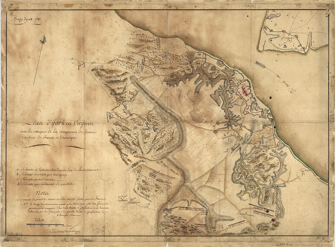 Document
Primary source
Siege of York, 1781: Plan of Franco-American Siege Works
Querenet De La Combe · 1781
 Document
Primary source
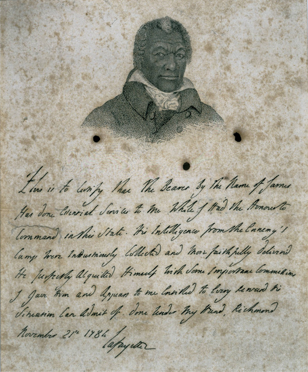
Certificate for James Armistead Lafayette
Marquis de Lafayette · 21 November 1784
 Painting
Primary source
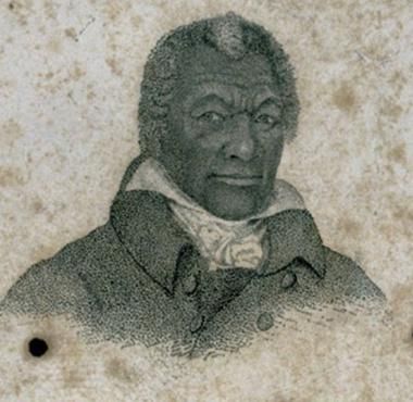
Portrait of James Armistead Lafayette
John B. Martin · c. 1824
 Document
Primary source
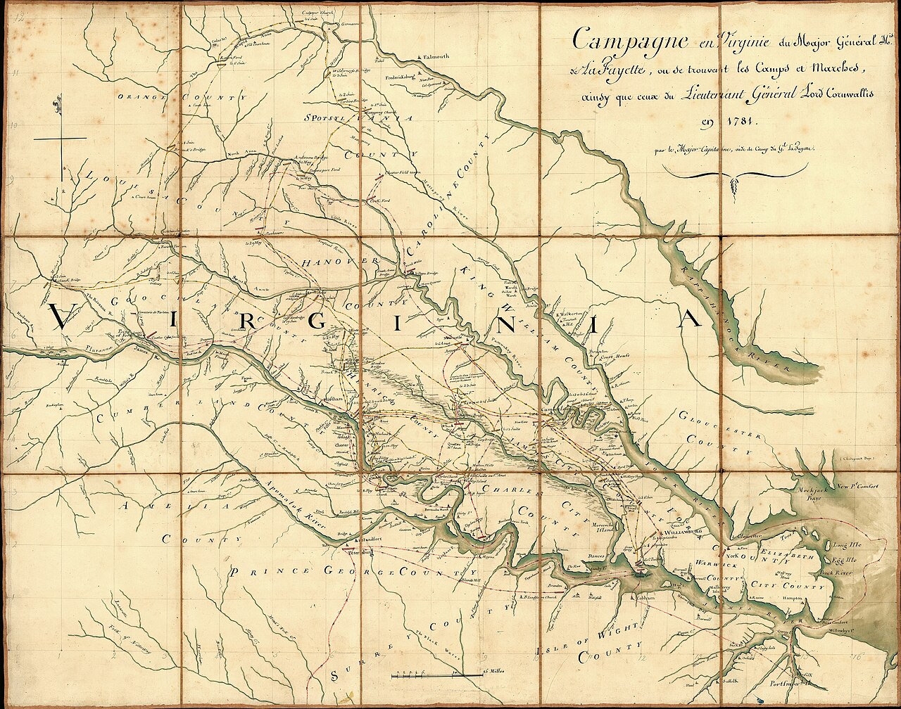
Campaign of the Marquis de Lafayette in Virginia, 1781
Michel Capitaine Du Chesnoy · 1781
Free account
Read every James Armistead Lafayette source
Sign up free →
Ready when you are
Start chatting with James Armistead Lafayette now.
20 messages free · No credit card · Available in 50+ languages.