


Primary sourceDocument1502
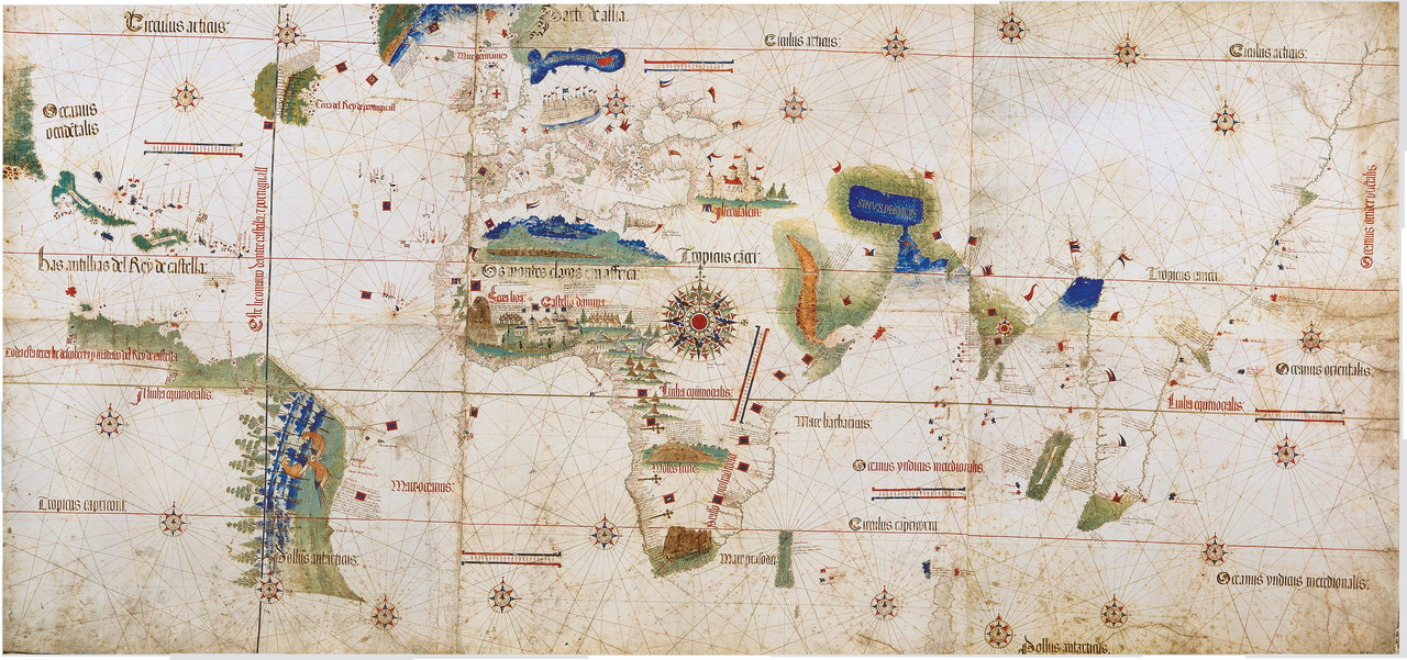
Cantino Planisphere
Anonymous Portuguese cartographer · 1502
A 1502 world map smuggled out of Lisbon, among the first to chart the African and Indian coasts reached by da Gama's voyage.
This map incorporates the new geographic knowledge gained from da Gama's voyage to Africa and India.
About this source
What it is
The Cantino planisphere is a hand-painted manuscript world map made around 1502, now kept at the Biblioteca Estense in Modena, Italy. It was obtained secretly from Lisbon by Alberto Cantino, an Italian agent, for the Duke of Ferrara. The map draws on information from several recent voyages, including those of Columbus, Cabral, the Corte-Real brothers, and Vasco da Gama's route to eastern Africa and India.
Why it matters
This map shows how quickly geographic knowledge from da Gama's voyage spread and was used, even though the Portuguese tried to keep such information secret for strategic advantage. It is considered the most important surviving map from the early Age of Discovery, revealing how European powers were racing to chart and claim the wider world.
Look closer
- Why would Portugal want to keep this geographic information secret, and why might Cantino have wanted it anyway?
- What parts of the world does the map get right or leave vague, and why?
- How does this map reflect whose voyages were considered important enough to record?
This document is part of the curated material that grounds the AI version of Vasco da Gama on Humy.ai — when students ask about related events, the AI can quote it and cite it.
More Vasco da Gama sources
Meet the AI Vasco da Gama →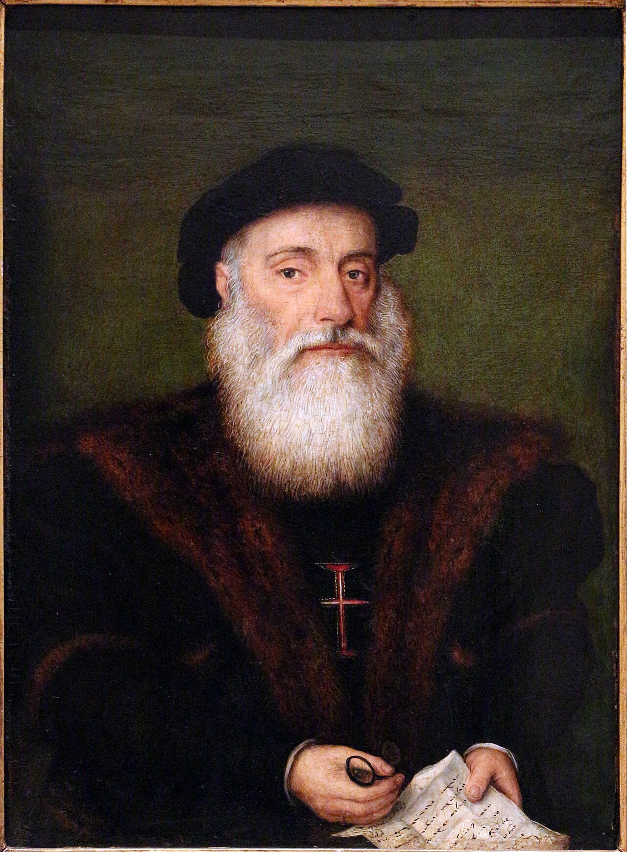 Painting
Secondary source
Portrait of Vasco da Gama
Anonymous · c. 1525
 Painting
Secondary source
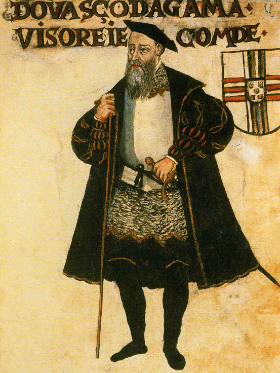
Vasco da Gama, Livro de Lisuarte de Abreu
Livro de Lisuarte de Abreu (compiler unknown) · c. 1565
 Document
Secondary source
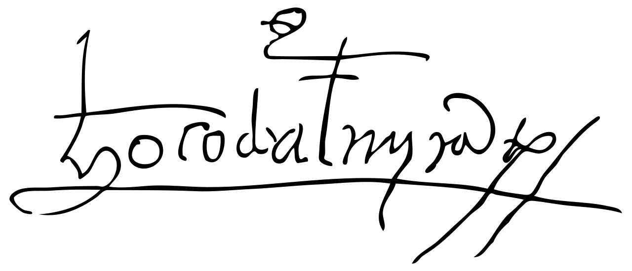
Signature of Vasco da Gama
Vasco da Gama
 Artifact
Primary source
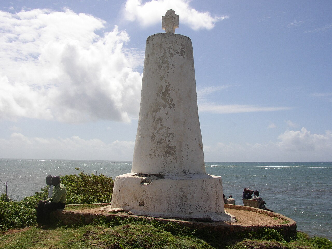
Vasco da Gama Pillar
1498 or 1499
 Artifact
Secondary source
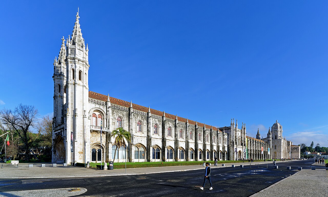
Jerónimos Monastery
Diogo de Boitaca · Begun 1501
Ready when you are
Start chatting with Vasco da Gama now.
20 messages free · No credit card · Available in 50+ languages.