


Secondary sourcePaintingc. 1375
Caravane Marco Polo
Abraham Cresques · c. 1375
A scene from the Catalan Atlas showing a caravan traveling toward Asia, reflecting how Marco Polo's travels shaped European mapmaking.
This map scene shows Polo's descriptions of Asian trade routes entering European geography decades after his death.
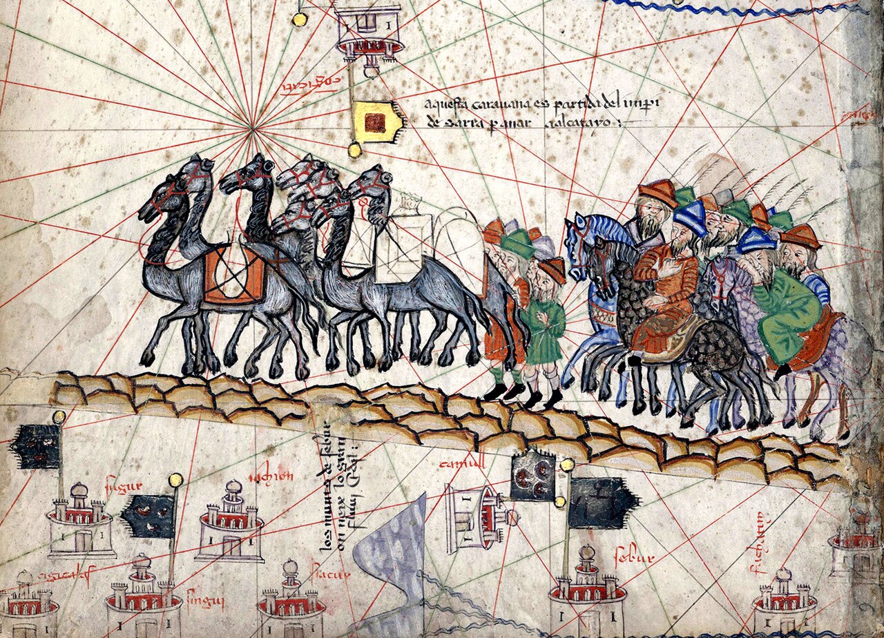
About this source
What it is
This detail comes from the Catalan Atlas, a map made by Abraham Cresques around 1375, showing a camel caravan of merchants crossing the desert toward Cathay, guided by compass lines and marked with walled towns.
Why it matters
Made only about fifty years after Marco Polo's death, this map shows how quickly his descriptions of Asian trade routes entered European geography. It reflects how merchants and mapmakers used travelers' accounts like Polo's to picture distant lands they had never seen themselves.
Look closer
- What details in the caravan suggest trade and long-distance travel?
- Why would a mapmaker include a caravan scene rather than just place names?
- How might information from travelers like Polo have reached a mapmaker in Catalonia?
This painting is part of the curated material that grounds the AI version of Marco Polo on Humy.ai — when students ask about related events, the AI can quote it and cite it.
More Marco Polo sources
Meet the AI Marco Polo →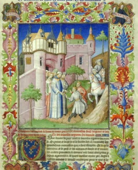 Book
Secondary source
The Travels of Marco Polo
Rustichello da Pisa · 1298
 Document
Primary source
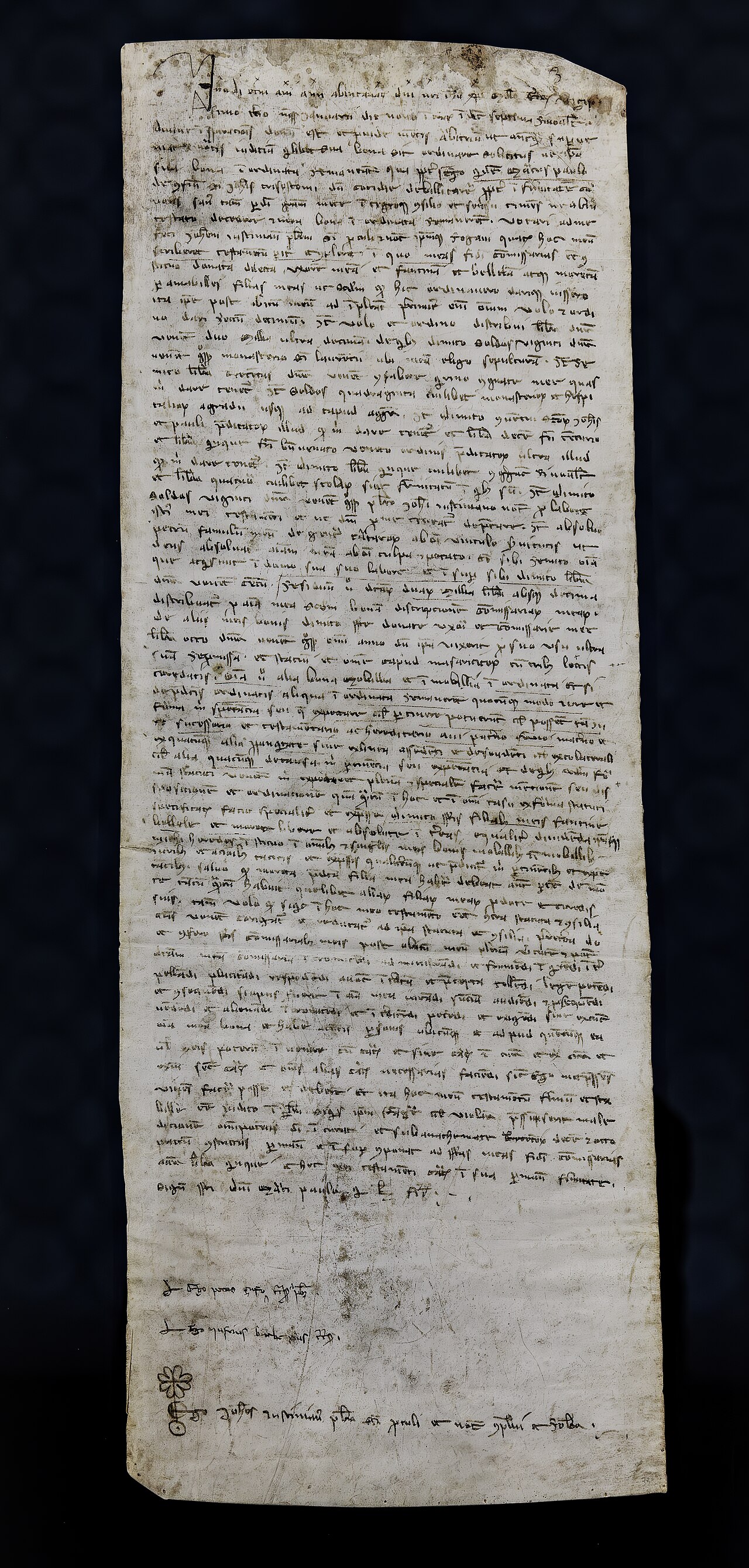
Marco Polo's Will
Marco Polo · 1324
 Painting
Secondary source
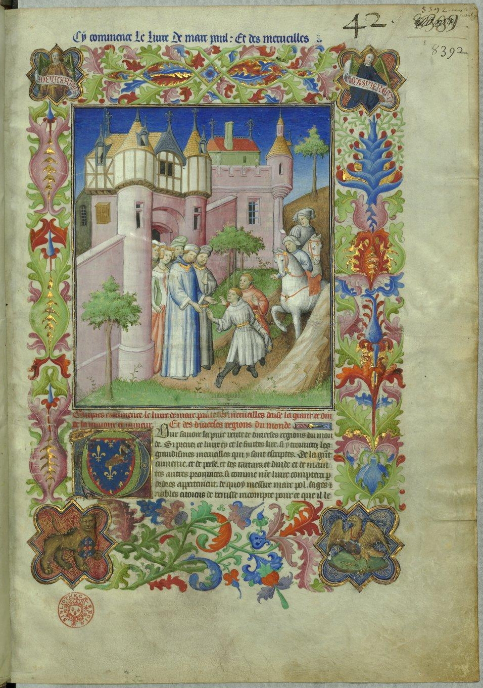
Livre des merveilles
Mazarine Master · c. 1410-1412
 Artifact
Secondary source
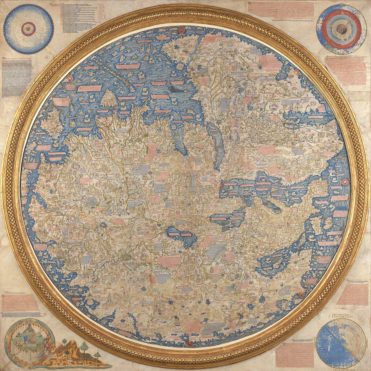
Fra Mauro map
Fra Mauro · c. 1450-1459
 Painting
Secondary source
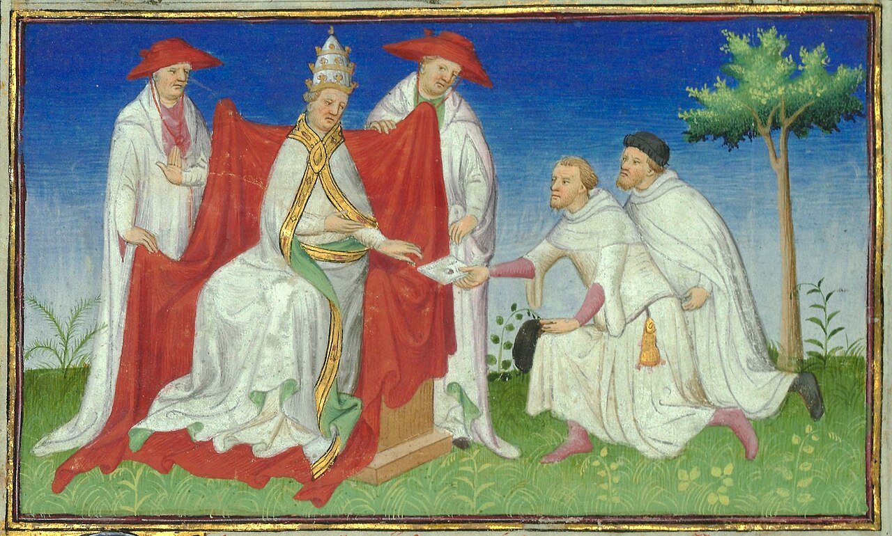
Niccolò and Maffeo Polo with Gregory X
Unknown
Ready when you are
Start chatting with Marco Polo now.
20 messages free · No credit card · Available in 50+ languages.